File:Anderton Nature Park - Lesley's Leap - geograph.org.uk - 254709.jpg
Jump to navigation
Jump to search
No higher resolution available.
Anderton_Nature_Park_-_Lesley's_Leap_-_geograph.org.uk_-_254709.jpg (640 × 480 pixels, file size: 200 KB, MIME type: image/jpeg)
Captions
Captions
Add a one-line explanation of what this file represents
Summary
[edit]
| Description |
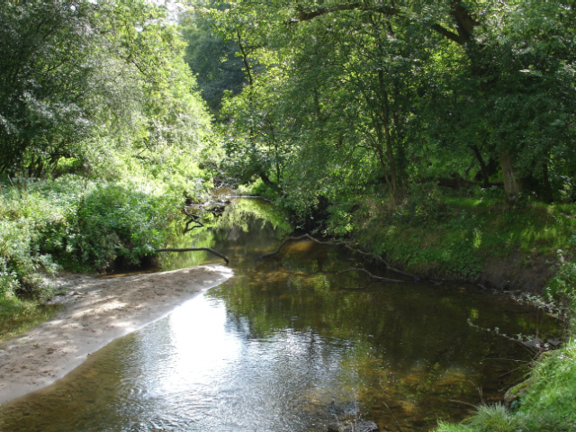
English: Anderton Nature Park - Lesley's Leap Anderton with Marbury: North Cheshire Way in Anderton Nature Park. View from beside the bridge over Marbury Brook at Lesley's Leap. This small brook flows through typical clough woodland to join the River Weaver. |
| Date | |
| Source | From geograph.org.uk |
| Author | Mike Harris |
| Attribution (required by the license) | Mike Harris / Anderton Nature Park - Lesley's Leap / |
| Object location | | View this and other nearby images on: OpenStreetMap |
|---|
_heading:112.00&language=en)
Licensing
[edit]

|
This image was taken from the Geograph project collection. See this photograph's page on the Geograph website for the photographer's contact details. The copyright on this image is owned by Mike Harris and is licensed for reuse under the Creative Commons Attribution-ShareAlike 2.0 license.
|
This file is licensed under the Creative Commons Attribution-Share Alike 2.0 Generic license.
Attribution: Mike Harris
- You are free:
- to share – to copy, distribute and transmit the work
- to remix – to adapt the work
- Under the following conditions:
- attribution – You must give appropriate credit, provide a link to the license, and indicate if changes were made. You may do so in any reasonable manner, but not in any way that suggests the licensor endorses you or your use.
- share alike – If you remix, transform, or build upon the material, you must distribute your contributions under the same or compatible license as the original.
File history
Click on a date/time to view the file as it appeared at that time.
| Date/Time | Thumbnail | Dimensions | User | Comment | |
|---|---|---|---|---|---|
| current | 16:33, 25 August 2010 | | 640 × 480 (200 KB) | GeographBot (talk | contribs) | == {{int:filedesc}} == {{Information |description={{en|1=Anderton Nature Park - Lesley's Leap Anderton with Marbury: North Cheshire Way in Anderton Nature Park. View from beside the bridge over Marbury Brook at Lesley's Leap. This small brook flows throug |
You cannot overwrite this file.
File usage on Commons
There are no pages that use this file.