File:Anden Est.Santa Fe.jpg
Jump to navigation
Jump to search

Size of this preview: 337 × 600 pixels. Other resolutions: 135 × 240 pixels | 269 × 480 pixels | 431 × 768 pixels | 575 × 1,024 pixels | 1,456 × 2,592 pixels.
Original file (1,456 × 2,592 pixels, file size: 1.4 MB, MIME type: image/jpeg)
Captions
Captions
Add a one-line explanation of what this file represents
Summary
[edit]
| Description |
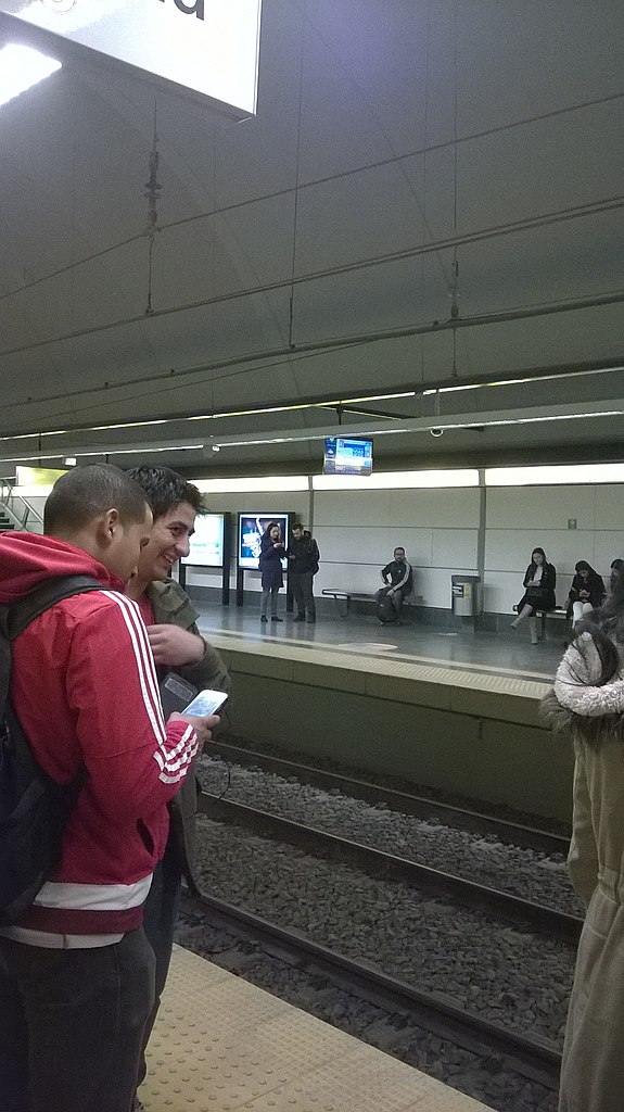
Español: Anden de la Estación Santa Fe de linea H del subte porteño. En dirección a Hospitales. |
| Date | |
| Source | Own work |
| Author | Juandedeboca |
| Camera location | | View this and other nearby images on: OpenStreetMap |
|---|
Licensing
[edit]
I, the copyright holder of this work, hereby publish it under the following license:
Permission is granted to do what the fuck you want to with this document under the terms of the WTF Public License, Version 2.
|
File history
Click on a date/time to view the file as it appeared at that time.
| Date/Time | Thumbnail | Dimensions | User | Comment | |
|---|---|---|---|---|---|
| current | 15:35, 28 July 2016 | | 1,456 × 2,592 (1.4 MB) | BugWarp (talk | contribs) | User created page with UploadWizard |
You cannot overwrite this file.
File usage on Commons
There are no pages that use this file.