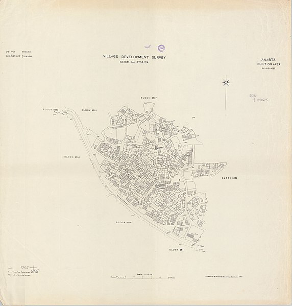
File:Anabta 1946 BOA.jpg
From Wikimedia Commons, the free media repository
Jump to navigation
Jump to search

Size of this preview: 572 × 599 pixels. Other resolutions: 229 × 240 pixels | 458 × 480 pixels | 733 × 768 pixels | 977 × 1,024 pixels | 1,955 × 2,048 pixels | 7,965 × 8,345 pixels.
Original file (7,965 × 8,345 pixels, file size: 6.65 MB, MIME type: image/jpeg)
File information
Structured data
Captions
Captions
Add a one-line explanation of what this file represents
Summary
[edit]| DescriptionAnabta 1946 BOA.jpg |
English: Survey of Palestine village maps, showing village land or built up area (BOA) |
| Date | |
| Source | w:Survey of Palestine |
| Author | w:Survey of Palestine |
Licensing
[edit]| Public domainPublic domainfalsefalse |
This work was created or ordered by the State of Israel, and is in the public domain because it satisfies one of the conditions stipulated in Israel's copyright statute from 2007 (translation) regarding the State's copyrights:
|

|
| Public domainPublic domainfalsefalse |
This work created by the United Kingdom Government is in the public domain.
This is because it is one of the following:
HMSO has declared that the expiry of Crown Copyrights applies worldwide (ref: HMSO Email Reply) Deutsch ∙ English ∙ Español ∙ français ∙ italiano ∙ Nederlands ∙ polski ∙ português ∙ sicilianu ∙ slovenščina ∙ suomi ∙ Türkçe ∙ македонски ∙ русский ∙ українська ∙ മലയാളം ∙ 한국어 ∙ 日本語 ∙ 简体中文 ∙ 繁體中文 ∙ العربية ∙ +/− |
 |
File history
Click on a date/time to view the file as it appeared at that time.
| Date/Time | Thumbnail | Dimensions | User | Comment | |
|---|---|---|---|---|---|
| current | 14:33, 27 August 2021 |  | 7,965 × 8,345 (6.65 MB) | Onceinawhile (talk | contribs) | Uploaded a work by w:Survey of Palestine from w:Survey of Palestine with UploadWizard |
You cannot overwrite this file.
File usage on Commons
There are no pages that use this file.