File:An Phu district.svg
Jump to navigation
Jump to search

Size of this PNG preview of this SVG file: 353 × 599 pixels. Other resolutions: 141 × 240 pixels | 283 × 480 pixels | 452 × 768 pixels | 603 × 1,024 pixels | 1,206 × 2,048 pixels | 3,072 × 5,214 pixels.
Original file (SVG file, nominally 3,072 × 5,214 pixels, file size: 1.38 MB)
Captions
Captions
Add a one-line explanation of what this file represents
Summary
[edit]| Description |
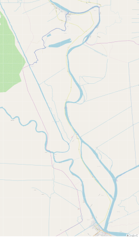
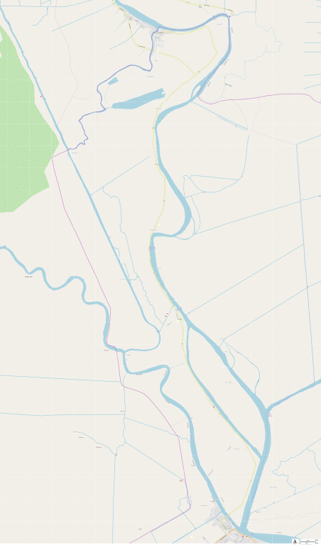
English: Map of An Phu district, An Giang province Tiếng Việt: Bản đồ huyện An Phú, tỉnh An Giang |
| Date | |
| Source |
http://sharemap.org/public/An_Phu_district Geospatial data sources:
|
| Author | mrfly911 |
| SVG development | This W3C-invalid map was created with ShareMap.org. |

Created with ShareMap.org
Thumbnail with colored legend in caption
[edit]

[[File:An_Phu_district.svg|thumb|<center>An Phu district, An Giang province {{nowrap|([[ShareMap:public/An Phu district|interactive map]])}}]]
Licensing
[edit]
This file is licensed under the Creative Commons Attribution-Share Alike 3.0 Unported license.
- You are free:
- to share – to copy, distribute and transmit the work
- to remix – to adapt the work
- Under the following conditions:
- attribution – You must give appropriate credit, provide a link to the license, and indicate if changes were made. You may do so in any reasonable manner, but not in any way that suggests the licensor endorses you or your use.
- share alike – If you remix, transform, or build upon the material, you must distribute your contributions under the same or compatible license as the original.
File history
Click on a date/time to view the file as it appeared at that time.
| Date/Time | Thumbnail | Dimensions | User | Comment | |
|---|---|---|---|---|---|
| current | 11:08, 7 November 2018 | | 3,072 × 5,214 (1.38 MB) | Mrfly911 (talk | contribs) | Automaticaly updated from ShareMap.org |
You cannot overwrite this file.
File usage on Commons
The following page uses this file: