File:Amphibious bus on Thames river.jpg
Jump to navigation
Jump to search

Size of this preview: 400 × 600 pixels. Other resolutions: 160 × 240 pixels | 320 × 480 pixels | 512 × 768 pixels | 682 × 1,024 pixels | 1,365 × 2,048 pixels | 4,000 × 6,000 pixels.
Original file (4,000 × 6,000 pixels, file size: 6.3 MB, MIME type: image/jpeg)
Captions
Captions
Add a one-line explanation of what this file represents
Summary
[edit]
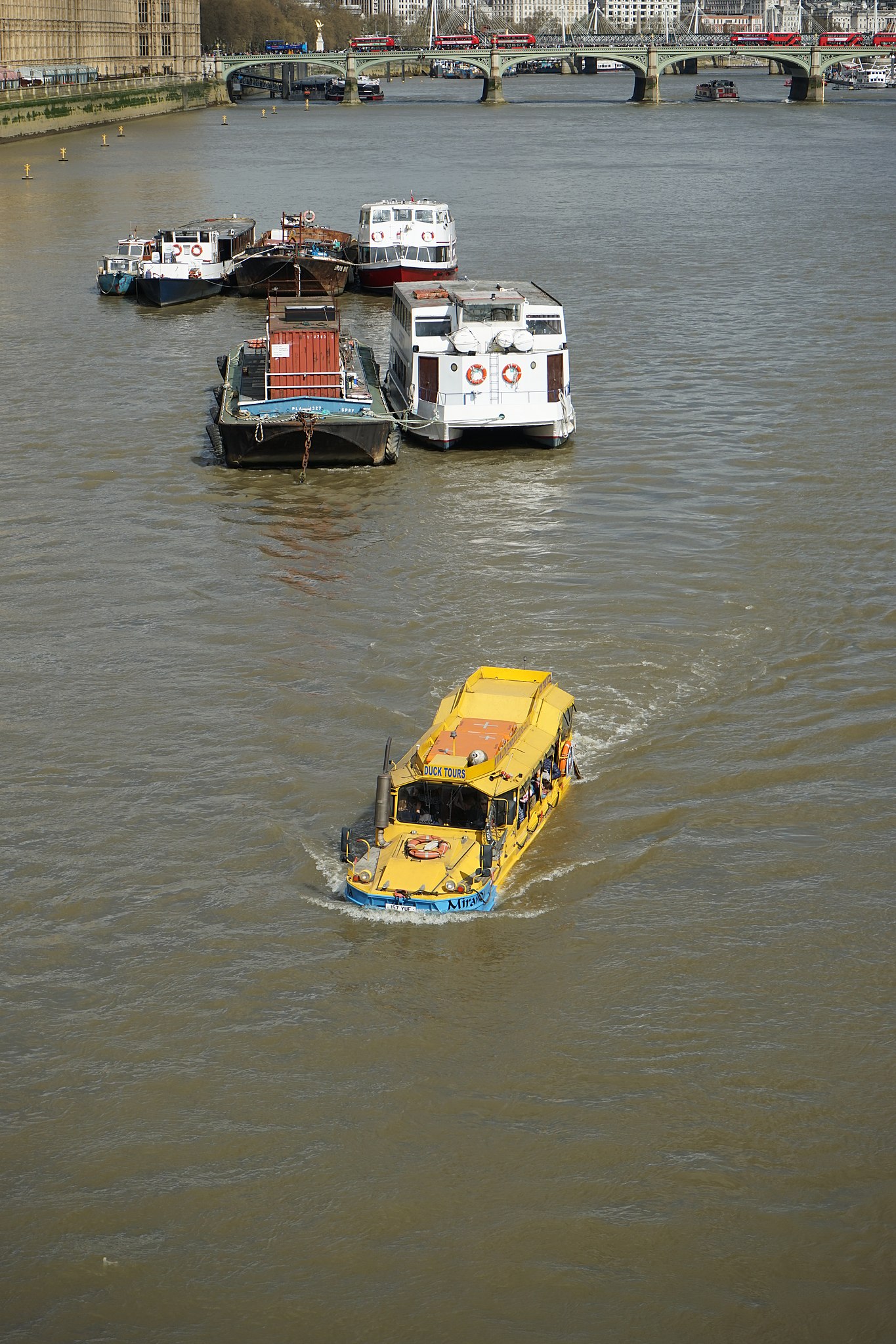
| Description | Amphibious tour bus on Thames river in London near Lambeth Bridge. |
| Date | 1 April 2017 (according to Exif data) |
| Source | Own work |
| Author | camerawalker |
| Camera location | | View this and other nearby images on: OpenStreetMap |
|---|
Licensing
[edit]
I, the copyright holder of this work, hereby publish it under the following license:
| This file is made available under the Creative Commons CC0 1.0 Universal Public Domain Dedication. | |
| The person who associated a work with this deed has dedicated the work to the public domain by waiving all of their rights to the work worldwide under copyright law, including all related and neighboring rights, to the extent allowed by law. You can copy, modify, distribute and perform the work, even for commercial purposes, all without asking permission.
|
| This file was uploaded via Mobile iOS 1.0.10. |
File history
Click on a date/time to view the file as it appeared at that time.
| Date/Time | Thumbnail | Dimensions | User | Comment | |
|---|---|---|---|---|---|
| current | 14:11, 30 May 2017 | | 4,000 × 6,000 (6.3 MB) | Embedded Data Bot (talk | contribs) | This file contains embedded data: After 6.3MiB (6604327 bytes, via Ending): Identified type: image/jpeg (JPEG image data, Exif standard: [TIFF image data, little-endian, direntries=4, xresolution=62, yresolution=70, resolutionunit=2], ba... |
| 14:10, 30 May 2017 |  | 4,000 × 6,000 (6.91 MB) | Camerawalker (talk | contribs) | Uploaded with Commons for iOS |
You cannot overwrite this file.
File usage on Commons
The following page uses this file:
File usage on other wikis
The following other wikis use this file:
- Usage on en.wikipedia.org