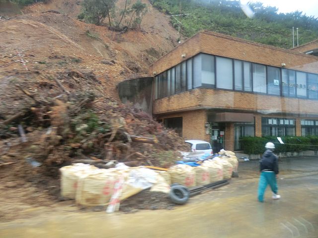
File:Amami heavy rain 2010 at Tatsugo.jpg
From Wikimedia Commons, the free media repository
Jump to navigation
Jump to search
Size of this preview: 800 × 600 pixels. Other resolutions: 320 × 240 pixels | 640 × 480 pixels | 1,024 × 768 pixels | 1,280 × 960 pixels | 2,048 × 1,536 pixels.
Original file (2,048 × 1,536 pixels, file size: 310 KB, MIME type: image/jpeg)
File information
Structured data
Captions
Summary
[edit]DescriptionAmami heavy rain 2010 at Tatsugo.jpg |
日本語: JA奄美 龍郷支所付近の土砂崩れの様子。 |
Date | |
Source | Flickr: landslide |
Author | tsuda |
Camera location | 28° 24′ 41.17″ N, 129° 35′ 20.89″ E | View this and other nearby images on: OpenStreetMap | 28.411435; 129.589135 |
---|
Licensing
[edit]This image, which was originally posted to Flickr, was uploaded to Commons using Flickr upload bot on 23 December 2011, 03:57 by Sakoppi. On that date, it was confirmed to be licensed under the terms of the license indicated. |
This file is licensed under the Creative Commons Attribution-Share Alike 2.0 Generic license.
- You are free:
- to share – to copy, distribute and transmit the work
- to remix – to adapt the work
- Under the following conditions:
- attribution – You must give appropriate credit, provide a link to the license, and indicate if changes were made. You may do so in any reasonable manner, but not in any way that suggests the licensor endorses you or your use.
- share alike – If you remix, transform, or build upon the material, you must distribute your contributions under the same or compatible license as the original.
File history
Click on a date/time to view the file as it appeared at that time.
Date/Time | Thumbnail | Dimensions | User | Comment | |
---|---|---|---|---|---|
current | 03:57, 23 December 2011 | 2,048 × 1,536 (310 KB) | Flickr upload bot (talk | contribs) | Uploaded from http://flickr.com/photo/68701696@N00/5276009230 using Flickr upload bot |
You cannot overwrite this file.
File usage on Commons
There are no pages that use this file.
File usage on other wikis
The following other wikis use this file:
- Usage on ja.wikipedia.org
Metadata
This file contains additional information such as Exif metadata which may have been added by the digital camera, scanner, or software program used to create or digitize it. If the file has been modified from its original state, some details such as the timestamp may not fully reflect those of the original file. The timestamp is only as accurate as the clock in the camera, and it may be completely wrong.
Camera manufacturer | CASIO COMPUTER CO.,LTD. |
---|---|
Camera model | EX-H20G |
Exposure time | 1/80 sec (0.0125) |
F-number | f/3.2 |
ISO speed rating | 80 |
Date and time of data generation | 10:26, 17 December 2010 |
Lens focal length | 4.3 mm |
Latitude | 28° 24′ 41.17″ N |
Longitude | 129° 35′ 20.89″ E |
Altitude | 2.2 meters above sea level |
Orientation | Normal |
Horizontal resolution | 72 dpi |
Vertical resolution | 72 dpi |
Software used | 1.01 |
File change date and time | 10:26, 17 December 2010 |
Y and C positioning | Co-sited |
Exposure Program | Normal program |
Exif version | 2.3 |
Date and time of digitizing | 10:26, 17 December 2010 |
Meaning of each component |
|
Image compression mode | 5.4489254686786 |
APEX exposure bias | 0 |
Maximum land aperture | 3.4 APEX (f/3.25) |
Metering mode | Pattern |
Light source | Unknown |
Flash | Flash did not fire, compulsory flash suppression |
Supported Flashpix version | 1 |
Color space | sRGB |
File source | Digital still camera |
Custom image processing | Normal process |
Exposure mode | Auto exposure |
White balance | Auto white balance |
Focal length in 35 mm film | 24 mm |
Scene capture type | Standard |
Scene control | None |
Contrast | Normal |
Saturation | Normal |
Sharpness | Normal |
GPS time (atomic clock) | 01:26 |
Satellites used for measurement | 9 |
Receiver status | Measurement in progress |
Measurement mode | 3-dimensional measurement |
Measurement precision | Fair (1.4) |
Reference for direction of image | True direction |
Direction of image | 308 |
Geodetic survey data used | WGS-84 |
GPS date | 2010 |
GPS differential correction | 0 |
GPS tag version | 2.3.0.0 |