File:Always remind - panoramio.jpg
Jump to navigation
Jump to search
Size of this preview: 800 × 450 pixels. Other resolutions: 320 × 180 pixels | 640 × 360 pixels | 1,024 × 576 pixels | 1,280 × 720 pixels | 2,000 × 1,125 pixels.
Original file (2,000 × 1,125 pixels, file size: 368 KB, MIME type: image/jpeg)
Captions
Captions
Add a one-line explanation of what this file represents
Summary
[edit]
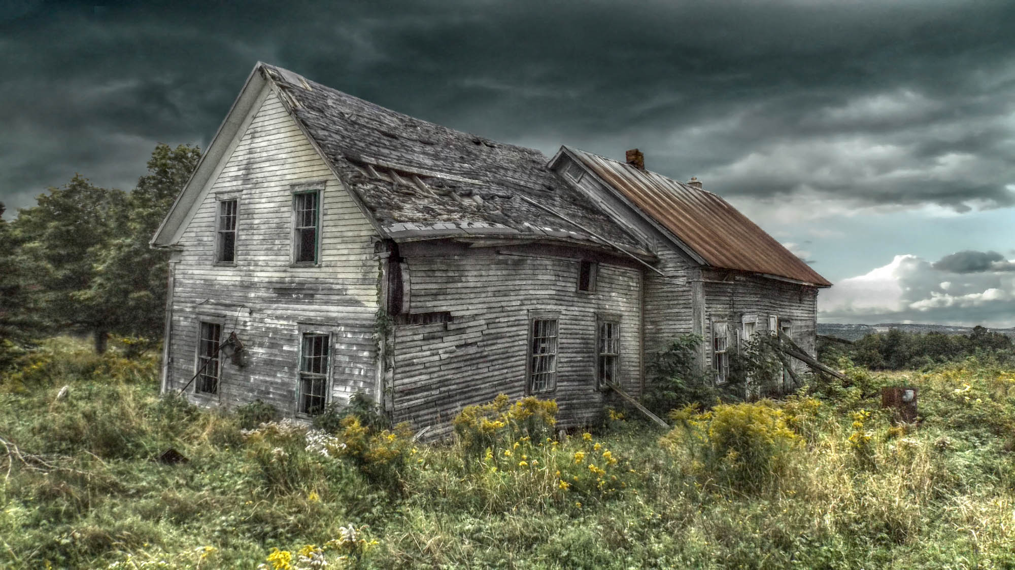
| Description | Always remind | ||
| Date | Taken on 10 September 2013 | ||
| Source | https://web.archive.org/web/20161028115958/http://www.panoramio.com/photo/96141073 | ||
| Author | Mario Hains | ||
| Permission (Reusing this file) |
This file is licensed under the Creative Commons Attribution-Share Alike 3.0 Unported license. Attribution: Mario Hains
|
||
| Tags (from Panoramio photo page) | Bury, Ancestors, Ancetres Ancestors, Ancien temps, Anciens lieux, Automnal colors, Bois, British american lands, Bury, Canada, Canterbury qc, Ciel, Constructions, Couleurs d`automne, Country, Country roads, Effet de lumières, Evening light, Expérimental, Hains, HD, hdr, Historic places, Lieux historiques, Light, Lights effect, Lumière , Lumière du soir, Mario Hains, Météorologie, Old, Old Ancestors, Old buildings, Old places, Paysages, Places abandonnées, Quebec, Reflexions, Reminds, Routes de campagne, Ruines, Ruins, Sky, Storm Tempetes, Tourisme , Touristic places, Traditional, Trees, Weather, Woods |
| Camera location | | View this and other nearby images on: OpenStreetMap |
|---|
File history
Click on a date/time to view the file as it appeared at that time.
| Date/Time | Thumbnail | Dimensions | User | Comment | |
|---|---|---|---|---|---|
| current | 13:41, 3 March 2017 | | 2,000 × 1,125 (368 KB) | Panoramio upload bot (talk | contribs) | == {{int:filedesc}} == {{Information |description=Always remind |date={{Taken on|2013-09-10}} |source=http://www.panoramio.com/photo/96141073 |author=[http://www.panoramio.com/user/1320307?with_photo_id=96141073 Mario Hains] |permission={{cc-by-sa-3.0|... |
You cannot overwrite this file.
File usage on Commons
There are no pages that use this file.