File:Alte Burg, unter Wasser stehender Gang - panoramio.jpg
Jump to navigation
Jump to search

Size of this preview: 513 × 599 pixels. Other resolutions: 205 × 240 pixels | 411 × 480 pixels | 658 × 768 pixels | 877 × 1,024 pixels | 1,533 × 1,790 pixels.
Original file (1,533 × 1,790 pixels, file size: 531 KB, MIME type: image/jpeg)
Captions
Captions
Add a one-line explanation of what this file represents
Summary
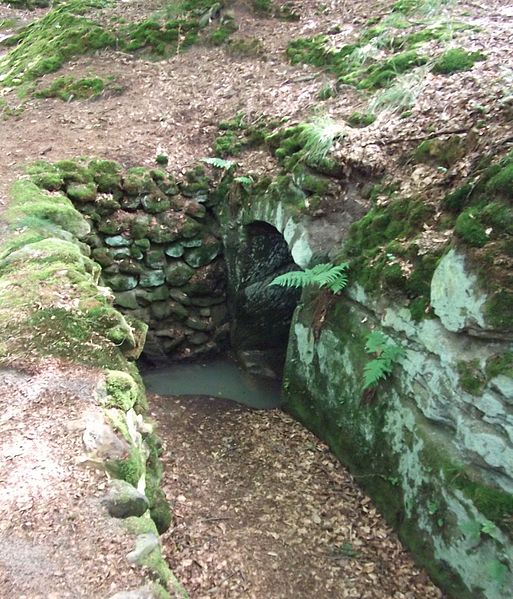
[edit]| Description | Alte Burg: unter Wasser stehender Gang | ||
| Date | 10 July 2011 (original upload date) | ||
| Source | https://web.archive.org/web/20161023181326/http://www.panoramio.com/photo/55526775 | ||
| Author | Siegmar S. | ||
| Permission (Reusing this file) |
This file is licensed under the Creative Commons Attribution-Share Alike 3.0 Unported license. Attribution: Siegmar S.
|
||
| Tags (from Panoramio photo page) | Untermerzbach |
| Camera location | | View this and other nearby images on: OpenStreetMap |
|---|

File history
Click on a date/time to view the file as it appeared at that time.
| Date/Time | Thumbnail | Dimensions | User | Comment | |
|---|---|---|---|---|---|
| current | 22:09, 1 December 2016 | | 1,533 × 1,790 (531 KB) | Panoramio upload bot (talk | contribs) | == {{int:filedesc}} == {{Information |description=Alte Burg: unter Wasser stehender Gang |date={{Original upload date|2011-07-10}} |source=http://www.panoramio.com/photo/55526775 |author=[http://www.panoramio.com/user/852391?with_photo_id=55526775 Sieg... |
You cannot overwrite this file.
File usage on Commons
There are no pages that use this file.