File:Along the field edge - geograph.org.uk - 1039433.jpg
Jump to navigation
Jump to search
Size of this preview: 450 × 600 pixels. Other resolutions: 180 × 240 pixels | 480 × 640 pixels.
Original file (480 × 640 pixels, file size: 94 KB, MIME type: image/jpeg)
Captions
Captions
Add a one-line explanation of what this file represents
Summary
[edit]
| Description |
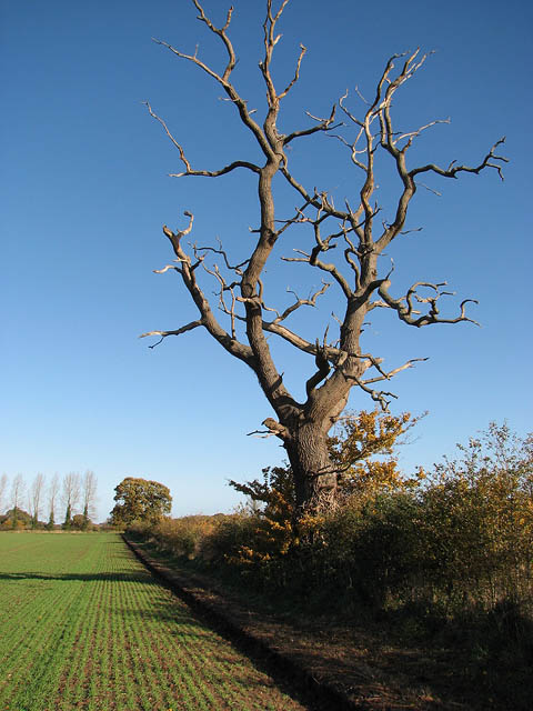
English: Along the field edge. This public footpath turns off the unnamed road > https://www.geograph.org.uk/photo/1039383 which links Burgh next Aylsham with Skeyton and Swanton Abbott, further to the east. It leads across a stubble field in southwesterly direction, crosses a farm road > https://www.geograph.org.uk/photo/1039396 and from there continues in southwesterly direction, following a field edge > https://www.geograph.org.uk/photo/1039444 all the way to Oxnead Hall > https://www.geograph.org.uk/photo/456378 and adjoining farm > 1039525. |
| Date | |
| Source | From geograph.org.uk |
| Author | Evelyn Simak |
| Attribution (required by the license) | Evelyn Simak / Along the field edge / |
| Camera location | | View this and other nearby images on: OpenStreetMap |
|---|
_heading:22.00&language=en)
| Object location | | View this and other nearby images on: OpenStreetMap |
|---|
_heading:22.00&language=en)
Licensing
[edit]

|
This image was taken from the Geograph project collection. See this photograph's page on the Geograph website for the photographer's contact details. The copyright on this image is owned by Evelyn Simak and is licensed for reuse under the Creative Commons Attribution-ShareAlike 2.0 license.
|
This file is licensed under the Creative Commons Attribution-Share Alike 2.0 Generic license.
Attribution: Evelyn Simak
- You are free:
- to share – to copy, distribute and transmit the work
- to remix – to adapt the work
- Under the following conditions:
- attribution – You must give appropriate credit, provide a link to the license, and indicate if changes were made. You may do so in any reasonable manner, but not in any way that suggests the licensor endorses you or your use.
- share alike – If you remix, transform, or build upon the material, you must distribute your contributions under the same or compatible license as the original.
- Remove redundant categories and try to put this image in the most specific category/categories
- Remove this template
- The location categories are based on information from this geonames tool and this OpenStreetMap tool combined with a database. You can also have a look at this tool from mysociety.
- The topic category from Geograph was Public footpath (find similar images footpath at Geograph)
File history
Click on a date/time to view the file as it appeared at that time.
| Date/Time | Thumbnail | Dimensions | User | Comment | |
|---|---|---|---|---|---|
| current | 17:06, 23 February 2011 | | 480 × 640 (94 KB) | GeographBot (talk | contribs) | == {{int:filedesc}} == {{Information |description={{en|1=Along the field edge This public footpath turns off the unnamed road > http://www.geograph.org.uk/photo/1039383 which links Burgh next Aylsham with Skeyton and Swanton Abbott, further to the east. I |
You cannot overwrite this file.
File usage on Commons
There are no pages that use this file.