File:Almaty geolocation map.png
Jump to navigation
Jump to search
No higher resolution available.
Almaty_geolocation_map.png (390 × 476 pixels, file size: 161 KB, MIME type: image/png)
Captions
Captions
Add a one-line explanation of what this file represents
Summary
[edit]
| Description |
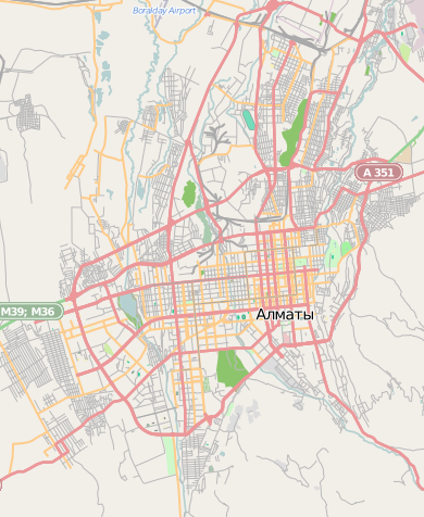
English: OpenStreetMap map of Almaty, Kazakhstan, intended for use in geolocation templates:
|
| Date | |
| Source | OpenStreetMap |
| Author | OpenStreetMap contributors |
Licensing
[edit]
This file is licensed under the Creative Commons Attribution-Share Alike 2.0 Generic license.
- You are free:
- to share – to copy, distribute and transmit the work
- to remix – to adapt the work
- Under the following conditions:
- attribution – You must give appropriate credit, provide a link to the license, and indicate if changes were made. You may do so in any reasonable manner, but not in any way that suggests the licensor endorses you or your use.
- share alike – If you remix, transform, or build upon the material, you must distribute your contributions under the same or compatible license as the original.
File history
Click on a date/time to view the file as it appeared at that time.
| Date/Time | Thumbnail | Dimensions | User | Comment | |
|---|---|---|---|---|---|
| current | 17:00, 28 August 2012 | | 390 × 476 (161 KB) | Powerek38 (talk | contribs) | User created page with UploadWizard |
You cannot overwrite this file.
File usage on Commons
There are no pages that use this file.
File usage on other wikis
The following other wikis use this file:
- Usage on fr.wikipedia.org
- Usage on it.wikipedia.org
- Rajymbek batyr (metropolitana di Almaty)
- Žibek Žoly (metropolitana di Almaty)
- Almaly (metropolitana di Almaty)
- Abaj (metropolitana di Almaty)
- Bajkonur (metropolitana di Almaty)
- Teatr imeni Muchtara Auėzova (metropolitana di Almaty)
- Alatau (metropolitana di Almaty)
- Template:Mappa di localizzazione/Almaty
- Sajran (metropolitana di Almaty)
- Ma̋skeu (metropolitana di Almaty)
- Usage on ja.wikipedia.org
- Usage on pl.wikipedia.org
- Wieża telewizyjna w Ałmaty
- Rajymbek batyr
- Abaj (stacja metra)
- Żybek Żoły
- Ałmały
- Bajkongyr
- Muchtar Äuezow teatry
- Ałatau (stacja metra)
- Stadion Centralny w Ałmaty
- Ałmaty-1
- Ałmaty-2
- Sobór Wniebowstąpienia Pańskiego w Ałmaty
- Sobór św. Mikołaja w Ałmaty
- Moduł:Mapa/dane/Ałmaty
- Moduł:Mapa/dane/KZ-ALA
- Konsulat Generalny Rzeczypospolitej Polskiej w Ałmaty
- Sajran
- Mäskeu
- Kazachski Narodowy Uniwersytet Pedagogiczny im. Abaja
- Sobór Kazańskiej Ikony Matki Bożej w Ałmaty
- Parafia Trójcy Świętej w Ałmaty
- Parafia Świętej Bożej Rodzicielki w Ałmaty
- Parafia św. Józefa w Ałmaty
- Usage on pl.wikibooks.org