File:Almanjaya Baja. Plano topografico Granada Francisco Dalmau (1796).jpg
Jump to navigation
Jump to search
Size of this preview: 800 × 408 pixels. Other resolutions: 320 × 163 pixels | 640 × 326 pixels | 983 × 501 pixels.
Original file (983 × 501 pixels, file size: 316 KB, MIME type: image/jpeg)
Captions
Captions
Add a one-line explanation of what this file represents
Summary
[edit].jpg&action=edit§ion=1)
| Description |
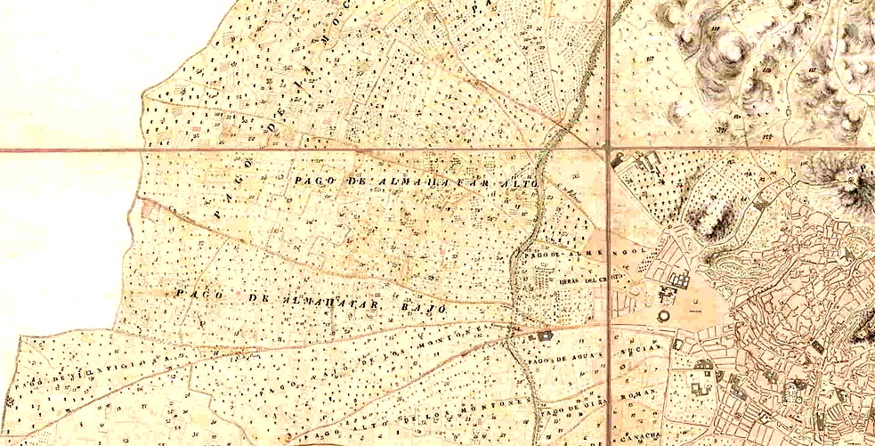
Español: Almanjaya baja según el plano topográfico de Granada realizado por Francisco Dalmau en 1796. |
| Date | |
| Source | Mapa topográfico de la ciudad de Granada. (1786). Instituto Andaluz de Estadística y Cartografía |
| Author | Francisco Dalmau (1796) |
Licensing
[edit].jpg&action=edit§ion=2)
|
This work is in the public domain in its country of origin and other countries and areas where the copyright term is the author's life plus 100 years or fewer. This work is in the public domain in the United States because it was published (or registered with the U.S. Copyright Office) before January 1, 1929. | |
| This file has been identified as being free of known restrictions under copyright law, including all related and neighboring rights. | |
File history
Click on a date/time to view the file as it appeared at that time.
| Date/Time | Thumbnail | Dimensions | User | Comment | |
|---|---|---|---|---|---|
| current | 11:54, 9 April 2012 | | 983 × 501 (316 KB) | Ilibirretano (talk | contribs) |
You cannot overwrite this file.
File usage on Commons
There are no pages that use this file.
.jpg&oldid=882104061)