File:Almadoshan.jpg
Jump to navigation
Jump to search

Size of this preview: 800 × 533 pixels. Other resolutions: 320 × 213 pixels | 640 × 427 pixels | 1,024 × 683 pixels | 1,280 × 853 pixels | 2,560 × 1,707 pixels | 3,600 × 2,400 pixels.
Original file (3,600 × 2,400 pixels, file size: 8.03 MB, MIME type: image/jpeg)
Captions
Captions
Add a one-line explanation of what this file represents
Summary
[edit]
| Description |
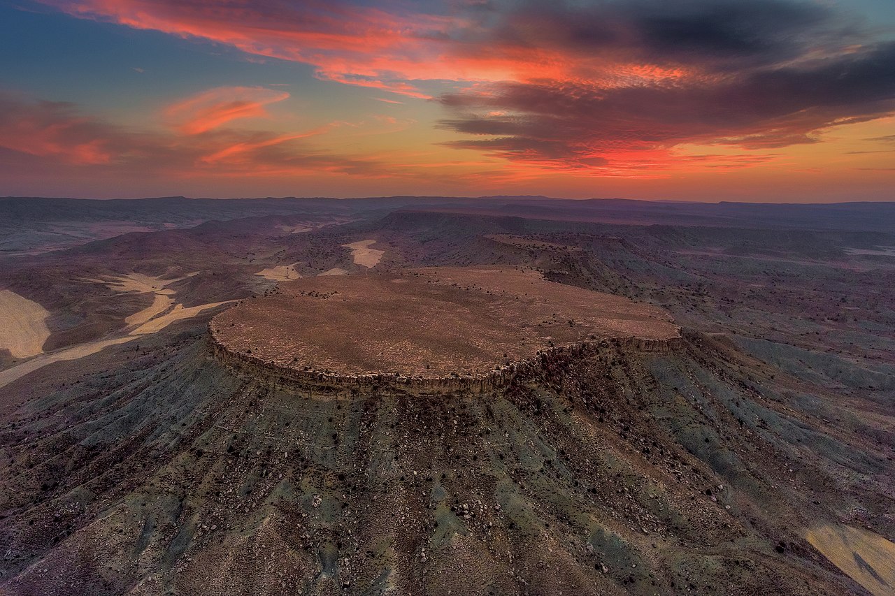
فارسی: ارگ آلمادوشن
|
||
| Date | |||
| Source | Own work | ||
| Author | Dolphinphoto5d |
| Camera location | | View this and other nearby images on: OpenStreetMap |
|---|
Licensing
[edit]
I, the copyright holder of this work, hereby publish it under the following license:
This file is licensed under the Creative Commons Attribution-Share Alike 4.0 International license.
- You are free:
- to share – to copy, distribute and transmit the work
- to remix – to adapt the work
- Under the following conditions:
- attribution – You must give appropriate credit, provide a link to the license, and indicate if changes were made. You may do so in any reasonable manner, but not in any way that suggests the licensor endorses you or your use.
- share alike – If you remix, transform, or build upon the material, you must distribute your contributions under the same or compatible license as the original.

|
This image was uploaded as part of Wiki Loves Monuments 2018.
|
 |
File history
Click on a date/time to view the file as it appeared at that time.
| Date/Time | Thumbnail | Dimensions | User | Comment | |
|---|---|---|---|---|---|
| current | 22:21, 6 October 2018 | | 3,600 × 2,400 (8.03 MB) | Dolphinphoto5d (talk | contribs) | User created page with UploadWizard |
You cannot overwrite this file.
File usage on Commons
The following 2 pages use this file:
File usage on other wikis
The following other wikis use this file:
- Usage on ar.wikipedia.org
- Usage on en.wikipedia.org
- Alamut Castle
- Arg-e Bam
- Takht-e Soleymān
- Naryn Castle, Meybod
- Babak Fort
- Falak-ol-Aflak
- Meimoon Ghal'eh
- Qal'eh Dokhtar
- Palace of Ardashir
- Rudkhan Castle
- Rayen Castle
- Chogha Zanbil
- Arg of Tabriz
- Shush Castle
- Tus Citadel
- Furg Citadel
- Nehbandan Citadel
- Abyaneh
- Ziwiyeh Castle
- Tepe Sialk
- Arg of Karim Khan
- Lambsar Castle
- Fort Nossa Senhora da Conceição
- List of castles in Iran
- Mount Khajeh
- Dimdim Castle
- Chehriq
- Zahhak Castle
- Qal'eh Bozi
- Sarvestan Palace
- Gerdkuh
- Rashkan Castle
- Siba Castle
- Iraj Castle
- Aamaj Castle
- Tawseelah Castle
- Jalali Castle
View more global usage of this file.