File:Allotment Gardens, Woolhampton - geograph.org.uk - 27492.jpg
Jump to navigation
Jump to search
No higher resolution available.
Allotment_Gardens,_Woolhampton_-_geograph.org.uk_-_27492.jpg (640 × 480 pixels, file size: 204 KB, MIME type: image/jpeg)
Captions
Captions
Add a one-line explanation of what this file represents
Summary
[edit]
| Description |
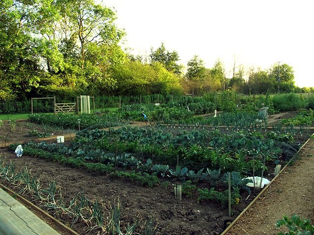
English: Allotment Gardens: Woolhampton. These allotment gardens were moved in recent years from south of the village hall to west of the village hall, in order to make way for the development of the land west of Hillview. This development meant the demolition of the King George V Hut (the hut is the current village hall which is still to be demolished at the time of this submission), the extension of the village boundary and moving the allotment gardens, amongst others. Also the approved reserve/outline plan indicated that a new hall was to be built south of the current hall. This means it would be built on the flood plain. This was approved, however the hall is required to be built on stilts!
Edit: The hall has now been demolished (4/12/06) and the site is currently empty and the new village hall has been opened. |
| Date | |
| Source | From geograph.org.uk |
| Author | Pam Brophy |
| Attribution (required by the license) | Pam Brophy / Allotment Gardens: Woolhampton / |
| Object location | | View this and other nearby images on: OpenStreetMap |
|---|
_&language=en)
Licensing
[edit]

|
This image was taken from the Geograph project collection. See this photograph's page on the Geograph website for the photographer's contact details. The copyright on this image is owned by Pam Brophy and is licensed for reuse under the Creative Commons Attribution-ShareAlike 2.0 license.
|
This file is licensed under the Creative Commons Attribution-Share Alike 2.0 Generic license.
Attribution: Pam Brophy
- You are free:
- to share – to copy, distribute and transmit the work
- to remix – to adapt the work
- Under the following conditions:
- attribution – You must give appropriate credit, provide a link to the license, and indicate if changes were made. You may do so in any reasonable manner, but not in any way that suggests the licensor endorses you or your use.
- share alike – If you remix, transform, or build upon the material, you must distribute your contributions under the same or compatible license as the original.
File history
Click on a date/time to view the file as it appeared at that time.
| Date/Time | Thumbnail | Dimensions | User | Comment | |
|---|---|---|---|---|---|
| current | 01:26, 30 January 2010 | | 640 × 480 (204 KB) | GeographBot (talk | contribs) | == {{int:filedesc}} == {{Information |description={{en|1=Allotment Gardens: Woolhampton. These allotment gardens were moved in recent years from south of the village hall to west of the village hall, in order to make way for the development of the land we |
You cannot overwrite this file.
File usage on Commons
There are no pages that use this file.