File:Aizenkatsura Tree.jpg
From Wikimedia Commons, the free media repository
Jump to navigation
Jump to search
Size of this preview: 444 × 599 pixels. Other resolutions: 178 × 240 pixels | 356 × 480 pixels | 569 × 768 pixels | 759 × 1,024 pixels | 2,060 × 2,778 pixels.
Original file (2,060 × 2,778 pixels, file size: 5.07 MB, MIME type: image/jpeg)
File information
Structured data
Captions
DescriptionAizenkatsura Tree.jpg |
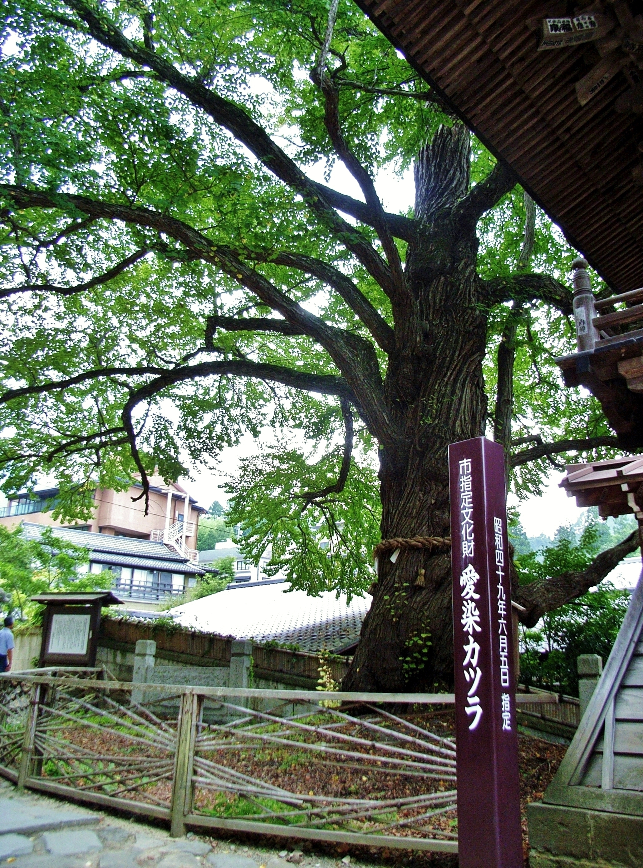
English: Aizen-katsura tree in Ueda, Nagano pref., Japan.
|
||
Date | |||
Source | Flickr: 愛染カツラ | ||
Author | Kuruman | ||
Permission (Reusing this file) |
This file is licensed under the Creative Commons Attribution 2.0 Generic license.
|
Camera location | 36° 21′ 00.36″ N, 138° 09′ 22.32″ E | View this and other nearby images on: OpenStreetMap | 36.350100; 138.156200 |
---|
File history
Click on a date/time to view the file as it appeared at that time.
Date/Time | Thumbnail | Dimensions | User | Comment | |
---|---|---|---|---|---|
current | 11:31, 15 July 2013 | 2,060 × 2,778 (5.07 MB) | Akira Kouchiyama (talk | contribs) | tweaked | |
11:24, 15 July 2013 | 2,112 × 2,816 (2.15 MB) | Flickr upload bot (talk | contribs) | Uploaded from http://flickr.com/photo/56886057@N00/3871103728 using Flickr upload bot |
You cannot overwrite this file.
File usage on Commons
There are no pages that use this file.
File usage on other wikis
Metadata
This file contains additional information such as Exif metadata which may have been added by the digital camera, scanner, or software program used to create or digitize it. If the file has been modified from its original state, some details such as the timestamp may not fully reflect those of the original file. The timestamp is only as accurate as the clock in the camera, and it may be completely wrong.
Camera manufacturer | RICOH |
---|---|
Camera model | Caplio R4 |
Copyright holder |
|
Exposure time | 1/104 sec (0.0096153846153846) |
F-number | f/3.3 |
ISO speed rating | 100 |
Date and time of data generation | 14:01, 21 August 2009 |
Lens focal length | 4.6 mm |
Latitude | 36° 21′ 0.36″ N |
Longitude | 138° 9′ 22.32″ E |
Altitude | 596 meters above sea level |
Orientation | Normal |
Software used | DIGICAM PLUGIN for KASHMIR3D |
File change date and time | 19:19, 15 July 2013 |
Y and C positioning | Co-sited |
Exposure Program | Normal program |
Exif version | 2.21 |
Date and time of digitizing | 14:01, 21 August 2009 |
Meaning of each component |
|
Image compression mode | 2.8 |
APEX aperture | 3.4 |
APEX brightness | 3.2 |
APEX exposure bias | 0 |
Maximum land aperture | 3.3 APEX (f/3.14) |
Metering mode | Pattern |
Light source | Unknown |
Flash | Flash did not fire, compulsory flash suppression |
DateTimeOriginal subseconds | 00 |
DateTimeDigitized subseconds | 00 |
Supported Flashpix version | 1 |
Color space | sRGB |
Exposure mode | Auto exposure |
White balance | Auto white balance |
Scene capture type | Standard |
Sharpness | Normal |
Unique image ID | 5A51392933554D33A91169EF988DA4BA |
Geodetic survey data used | WGS84 |
GPS tag version | 2.0.0.0 |