File:Ahorngruppe ThumersbacherKapelle 04.JPG
Original file (4,603 × 3,456 pixels, file size: 5.74 MB, MIME type: image/jpeg)
Captions
Summary
[edit]DescriptionAhorngruppe ThumersbacherKapelle 04.JPG |
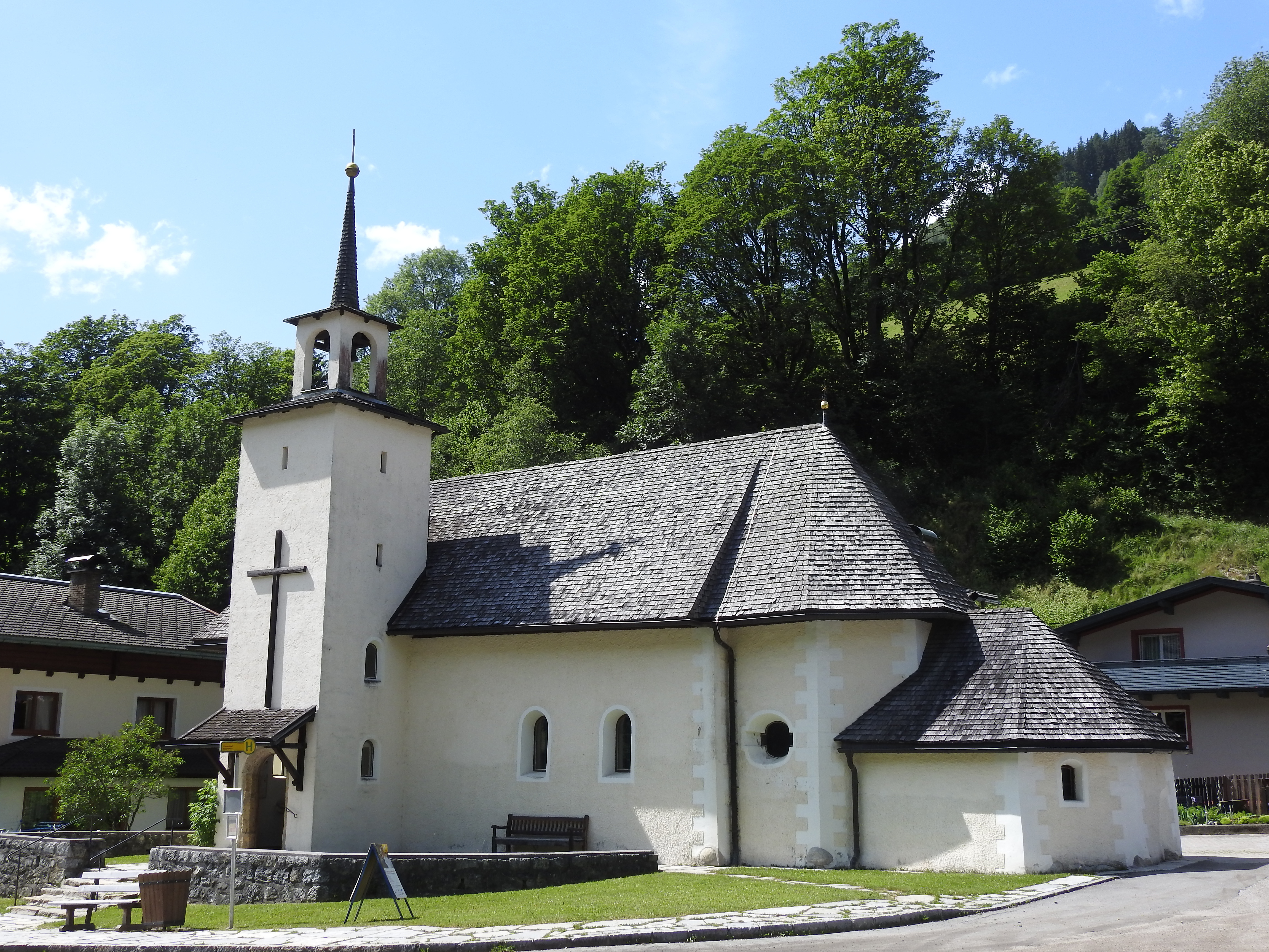
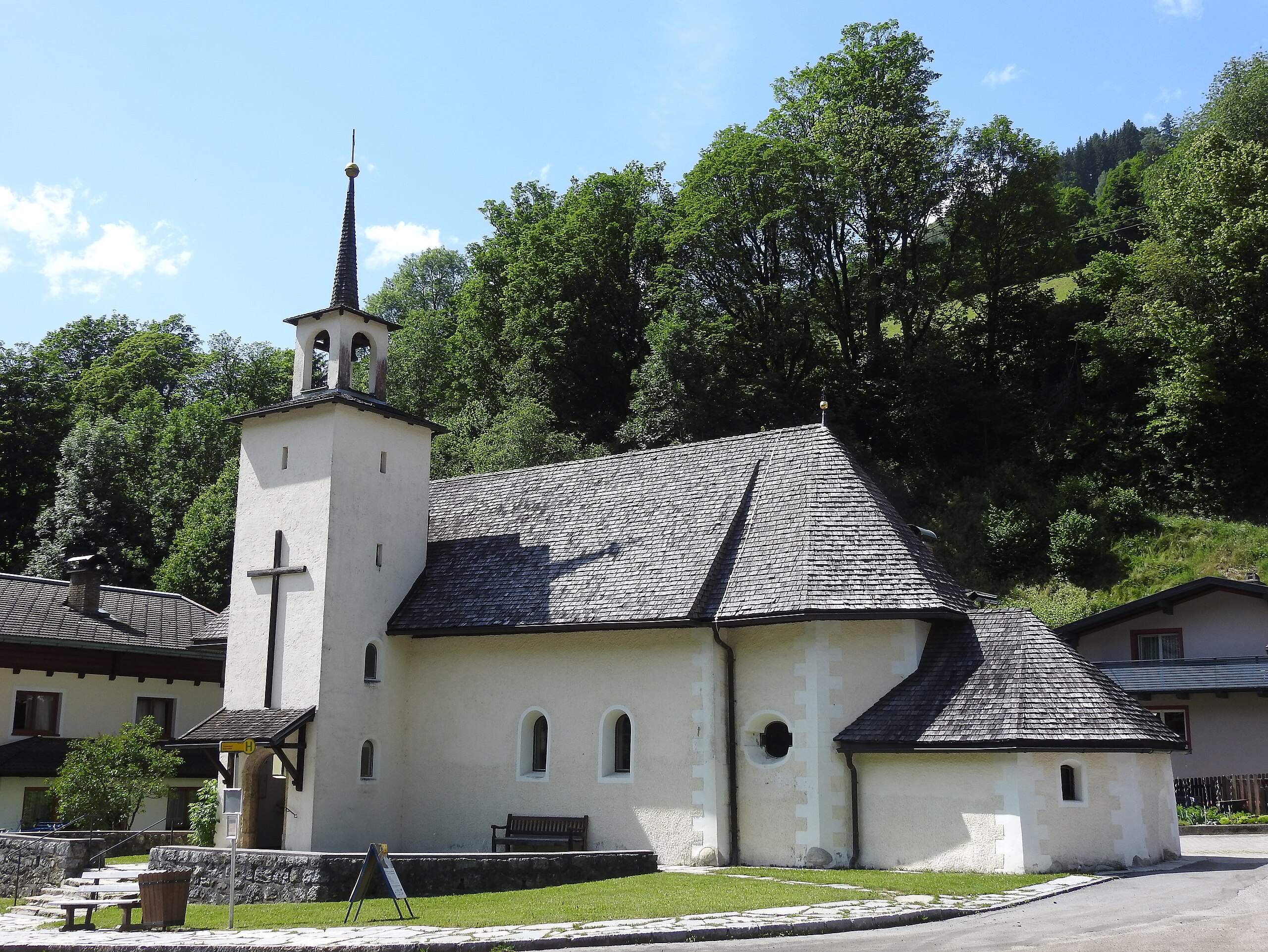
Deutsch: Ahorngruppe bei der Thumersbacher Kapelle im Ortsteil Thumersbach in der Gemeinde Zell am See. Die Ahorngruppe bestand ursprünglich aus 30 Bergahornen, darunter acht bis zehn alte Stämme. Ein Baum wurde 1988 abgestockt, zwei wegen einer Hangrutschung im Jahr 2014. Mit den Bäumen wurde ein Grundstreifen von 3 m Radius je Stamm mitgeschützt. Deutsch: Maple trees near Thumersbach Chapel, Zell am See, Salzburg (state), Austria
|
||
Date | |||
Source | Own work | ||
Author | Wald1siedel | ||
Permission (Reusing this file) |
|
Camera location | 47° 19′ 48″ N, 12° 49′ 46.86″ E | View this and other nearby images on: OpenStreetMap | 47.330000; 12.829683 |
---|
Object location | 47° 19′ 51.79″ N, 12° 49′ 44.86″ E | View this and other nearby images on: OpenStreetMap | 47.331053; 12.829128 |
---|
Licensing
[edit]- You are free:
- to share – to copy, distribute and transmit the work
- to remix – to adapt the work
- Under the following conditions:
- attribution – You must give appropriate credit, provide a link to the license, and indicate if changes were made. You may do so in any reasonable manner, but not in any way that suggests the licensor endorses you or your use.
- share alike – If you remix, transform, or build upon the material, you must distribute your contributions under the same or compatible license as the original.
This image was uploaded as part of Wiki Loves Earth 2015.
aragonés | العربية | asturianu | azərbaycanca | беларуская (тарашкевіца) | български | বাংলা | brezhoneg | català | čeština | Cymraeg | Deutsch | Ελληνικά | English | español | eesti | euskara | فارسی | français | galego | עברית | hrvatski | հայերեն | Bahasa Indonesia | italiano | 日本語 | ქართული | 한국어 | latviešu | македонски | മലയാളം | मराठी | Bahasa Melayu | norsk bokmål | नेपाली | Nederlands | norsk | polski | português | português do Brasil | русский | sicilianu | shqip | slovenščina | српски / srpski | svenska | ไทย | Türkçe | українська | اردو | 中文 | 中文(台灣) | +/− |
File history
Click on a date/time to view the file as it appeared at that time.
Date/Time | Thumbnail | Dimensions | User | Comment | |
---|---|---|---|---|---|
current | 17:42, 15 June 2015 | 4,603 × 3,456 (5.74 MB) | Wald1siedel (talk | contribs) | User created page with UploadWizard |
You cannot overwrite this file.
File usage on Commons
The following page uses this file:
File usage on other wikis
The following other wikis use this file:
- Usage on de.wikipedia.org
- Usage on www.wikidata.org
Metadata
This file contains additional information such as Exif metadata which may have been added by the digital camera, scanner, or software program used to create or digitize it. If the file has been modified from its original state, some details such as the timestamp may not fully reflect those of the original file. The timestamp is only as accurate as the clock in the camera, and it may be completely wrong.
Camera manufacturer | NIKON |
---|---|
Camera model | COOLPIX P900 |
Exposure time | 1/1,000 sec (0.001) |
F-number | f/3.2 |
ISO speed rating | 100 |
Date and time of data generation | 15:21, 13 June 2015 |
Lens focal length | 7.1 mm |
Latitude | 47° 19′ 51″ N |
Altitude | 817.9 meters above sea level |
Longitude | 12° 49′ 46.14″ E |
Horizontal resolution | 300 dpi |
Vertical resolution | 300 dpi |
Software used | Elements Organizer 11.0 |
File change date and time | 19:29, 15 June 2015 |
Y and C positioning | Centered |
Exposure Program | Normal program |
Exif version | 2.3 |
Date and time of digitizing | 15:21, 13 June 2015 |
Meaning of each component |
|
Image compression mode | 4 |
APEX exposure bias | 0 |
Maximum land aperture | 2.9 APEX (f/2.73) |
Metering mode | Pattern |
Light source | Unknown |
Flash | Flash did not fire, compulsory flash suppression |
Supported Flashpix version | 1 |
Color space | sRGB |
File source | Digital still camera |
Scene type | A directly photographed image |
Custom image processing | Custom process |
Exposure mode | Auto exposure |
White balance | Auto white balance |
Digital zoom ratio | 0 |
Focal length in 35 mm film | 40 mm |
Scene capture type | Standard |
Scene control | High gain down |
Contrast | Normal |
Saturation | Normal |
Sharpness | Normal |
Subject distance range | Unknown |
GPS time (atomic clock) | 13:22 |
Satellites used for measurement | 11 |
Geodetic survey data used | WGS84 |
GPS date | 13 June 2015 |
GPS tag version | 0.0.3.2 |
Supported Flashpix version | 0 |
Image width | 4,603 px |
Image height | 3,456 px |
Date metadata was last modified | 21:29, 15 June 2015 |
Structured data
Items portrayed in this file
depicts
47°19'48.00000"N, 12°49'46.85999"E
13 June 2015
47°19'51.791"N, 12°49'44.861"E
0.001 second
3.2
7.1 millimetre
100
image/jpeg
ffbde1247ced4679c967fe14c0075b5e4085d807
6,015,332 byte
3,456 pixel
4,603 pixel
- Cultural heritage monuments in Austria with known IDs
- Natural monuments in Austria with known ID
- Files by User:Wald1siedel
- CC-BY-SA-3.0-AT
- Self-published work
- Images from Wiki Loves Earth 2015
- Images from Wiki Loves Earth 2015 in Austria
- Natural monuments in Austria needing check
- Uploaded via Campaign:wle-at-nd
- Cultural heritage monuments in Austria check done
- Austria photographs taken on 2015-06-13