File:Africa (1588) a closer view.jpg
Jump to navigation
Jump to search
No higher resolution available.
Africa_(1588)_a_closer_view.jpg (800 × 600 pixels, file size: 172 KB, MIME type: image/jpeg)
Captions
Captions
Add a one-line explanation of what this file represents
Summary
[edit]_a_closer_view.jpg&action=edit§ion=1)
| Description |
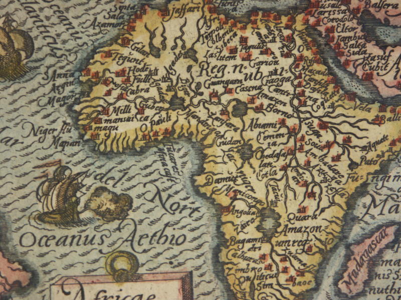
"Cambaia," a miniature map by *Abraham Ortelius*, published in 1583, with modern hand coloring; CLICK ON THE MAP FOR A VERY LARGE SCAN A version of the map from c.1616: *the whole map*: *northwest*; *northeast*; *southwest*; *southeast* Other Ortelius miniature maps, from various atlases, many with modern hand coloring: KONICA MINOLTA DIGITAL CAMERA |
| Date | between 1583 and 1616 |
| Source | http://www.columbia.edu/itc/mealac/pritchett/00maplinks/mughal/orteliusmaps/orteliusmaps.html |
| Author | Abraham Ortelius |
Licensing
[edit]_a_closer_view.jpg&action=edit§ion=2)
|
This work is in the public domain in its country of origin and other countries and areas where the copyright term is the author's life plus 70 years or fewer. | |
| This file has been identified as being free of known restrictions under copyright law, including all related and neighboring rights. | |
File history
Click on a date/time to view the file as it appeared at that time.
| Date/Time | Thumbnail | Dimensions | User | Comment | |
|---|---|---|---|---|---|
| current | 13:39, 9 September 2017 | | 800 × 600 (172 KB) | Baddu676 (talk | contribs) |
You cannot overwrite this file.
File usage on Commons
The following page uses this file:
- File:Africa1588b.jpg (file redirect)
_a_closer_view.jpg&oldid=901981613)