File:Aeroporto Internacional de Montreal updated.JPG
Jump to navigation
Jump to search
No higher resolution available.
Aeroporto_Internacional_de_Montreal_updated.JPG (800 × 539 pixels, file size: 164 KB, MIME type: image/jpeg)
Captions
Captions
Add a one-line explanation of what this file represents
Updated file originally uploaded by Severino666
Summary
[edit]
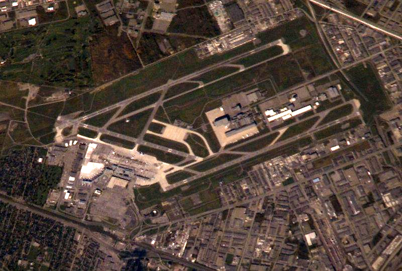
Español: Vista de satélite del aeropuerto
English: Aerial view of Montreal-Pierre Elliot Trudeau International Airport
Image courtesy of Earth Sciences and Image Analysis Laboratory, NASA Johnson Space Center. [1][dead link]
This image or video was catalogued by one of the centers of the United States National Aeronautics and Space Administration (NASA) under Photo ID: ISS007-E-17239. This tag does not indicate the copyright status of the attached work. A normal copyright tag is still required. See Commons:Licensing. Other languages:
|
Other version: ![]()
Licensing
[edit]
| This file is in the public domain in the United States because it was solely created by NASA. NASA copyright policy states that "NASA material is not protected by copyright unless noted". (See Template:PD-USGov, NASA copyright policy page or JPL Image Use Policy.) | ||
 |
Warnings:
|
| Object location | | View this and other nearby images on: OpenStreetMap |
|---|
File history
Click on a date/time to view the file as it appeared at that time.
| Date/Time | Thumbnail | Dimensions | User | Comment | |
|---|---|---|---|---|---|
| current | 03:36, 10 April 2008 | | 800 × 539 (164 KB) | DerMac (talk | contribs) | Updated file originally uploaded by Severino666 == Summary == {{es|Vista de satélite del aeropuerto}} {{en|Aerial view of Montreal-Pierre Elliot Trudeau International Airport}} ''Image courtesy of Earth Sciences and Image Analysis |
You cannot overwrite this file.
File usage on Commons
The following page uses this file:
File usage on other wikis
The following other wikis use this file:
- Usage on cs.wikipedia.org
- Usage on de.wikipedia.org
- Usage on fa.wikipedia.org
- Usage on it.wikipedia.org
- Usage on ko.wikipedia.org
- Usage on no.wikipedia.org
- Usage on tg.wikipedia.org
- Usage on th.wikipedia.org
- Usage on uk.wikipedia.org
- Usage on vi.wikipedia.org