File:Aerial view of the French Riviera at Pampelonne Beach, Saint-Tropez (52724047199) (cropped).jpg
Jump to navigation
Jump to search

Size of this preview: 800 × 591 pixels. Other resolutions: 320 × 237 pixels | 640 × 473 pixels | 1,024 × 757 pixels | 1,280 × 946 pixels | 2,560 × 1,892 pixels | 3,239 × 2,394 pixels.
Original file (3,239 × 2,394 pixels, file size: 6.77 MB, MIME type: image/jpeg)
Captions
Captions
Add a one-line explanation of what this file represents
Summary
[edit]| Description | France |
| Date | |
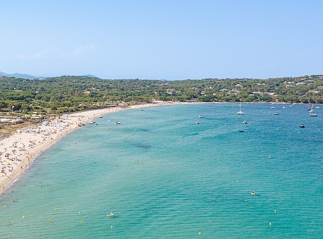
| Source | Aerial view of the French Riviera at Pampelonne Beach, Saint-Tropez |
| Author | dronepicr |
| Other versions |
.jpg)
_(cropped).jpg&action=edit§ion=1)
| Camera location | | View this and other nearby images on: OpenStreetMap |
|---|
_(cropped).jpg¶ms=043.234680_N_0006.663811_E_globe:Earth_type:camera_source:Flickr_&language=en)
Licensing
[edit]_(cropped).jpg&action=edit§ion=2)
This file is licensed under the Creative Commons Attribution 2.0 Generic license.
- You are free:
- to share – to copy, distribute and transmit the work
- to remix – to adapt the work
- Under the following conditions:
- attribution – You must give appropriate credit, provide a link to the license, and indicate if changes were made. You may do so in any reasonable manner, but not in any way that suggests the licensor endorses you or your use.
File history
Click on a date/time to view the file as it appeared at that time.
| Date/Time | Thumbnail | Dimensions | User | Comment | |
|---|---|---|---|---|---|
| current | 00:17, 21 June 2024 | | 3,239 × 2,394 (6.77 MB) | Groupir ! (talk | contribs) | File:Aerial view of the French Riviera at Pampelonne Beach, Saint-Tropez (52724047199).jpg cropped 41 % horizontally, 34 % vertically, 61 % areawise using CropTool with precise mode. |
You cannot overwrite this file.
File usage on Commons
The following page uses this file:
File usage on other wikis
The following other wikis use this file:
- Usage on fr.wikipedia.org
_(cropped).jpg&oldid=886085512)