File:Aerial view of Rix’s Creek North and South mines (1).jpg
![File:Aerial view of Rix’s Creek North and South mines (1).jpg](https://upload.wikimedia.org/wikipedia/commons/thumb/9/9d/Aerial_view_of_Rix%E2%80%99s_Creek_North_and_South_mines_%281%29.jpg/800px-Aerial_view_of_Rix%E2%80%99s_Creek_North_and_South_mines_%281%29.jpg?20240606064202)
Original file (4,032 × 3,024 pixels, file size: 2.6 MB, MIME type: image/jpeg)
Captions
Captions
Summary
[edit]DescriptionAerial view of Rix’s Creek North and South mines (1).jpg |
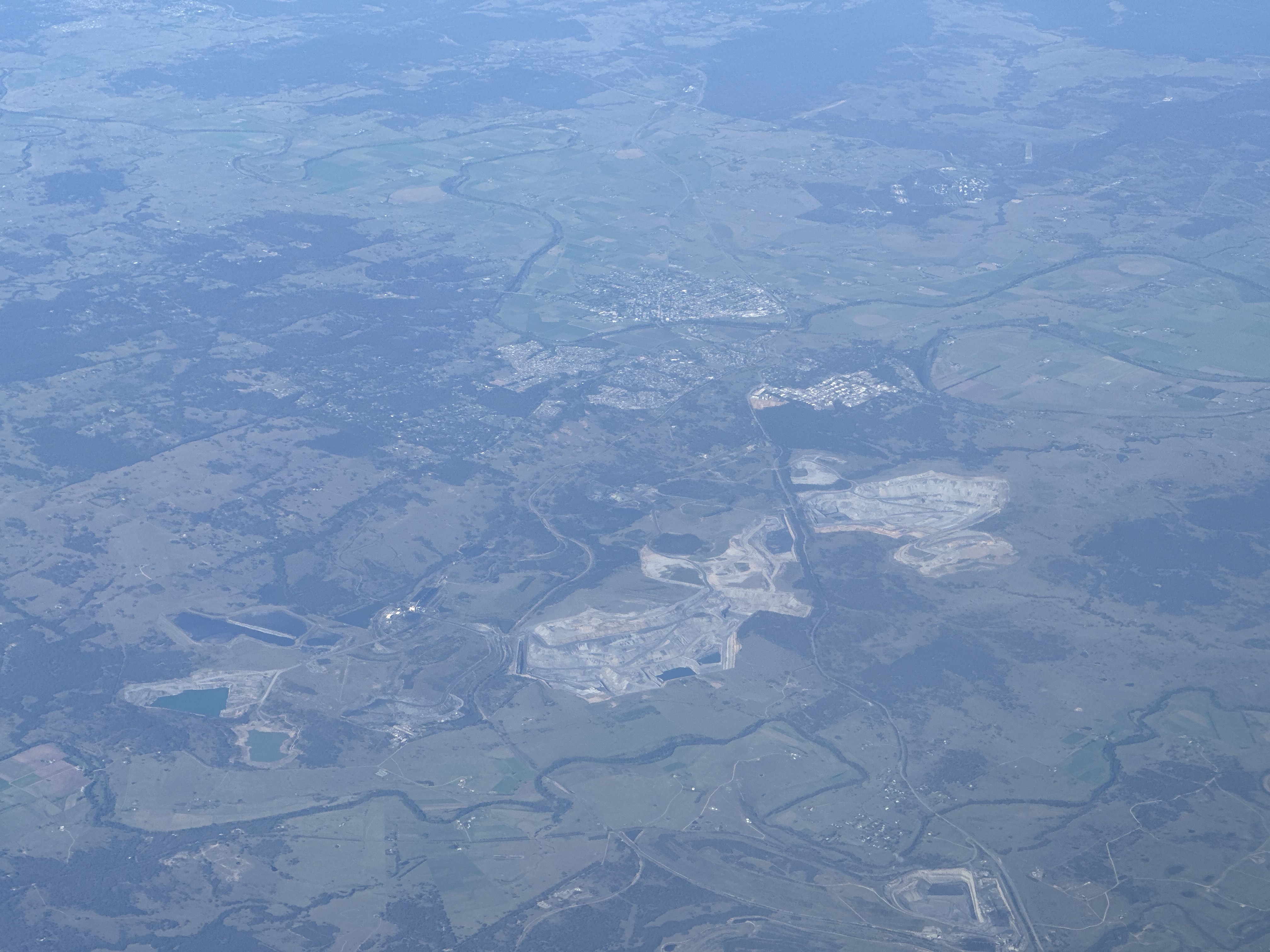
English: Aerial view of Rix’s Creek North and South mines. |
Date | |
Source | Own work |
Author | Bidgee |
Licensing
[edit]![]() |
This image is not in the public domain. If you wish to use it anywhere other than on Wikipedia or other Wikimedia projects you are obligated to provide the following details along with it:
Credit line example: "Aerial view of Rix’s Creek North and South mines (1).jpg from Wikimedia Commons by Robert Myers, CC-BY-SA 3.0/au" |
![w:en:Creative Commons](https://upload.wikimedia.org/wikipedia/commons/thumb/7/79/CC_some_rights_reserved.svg/90px-CC_some_rights_reserved.svg.png)
![attribution](https://upload.wikimedia.org/wikipedia/commons/thumb/1/11/Cc-by_new_white.svg/24px-Cc-by_new_white.svg.png)
![share alike](https://upload.wikimedia.org/wikipedia/commons/thumb/d/df/Cc-sa_white.svg/24px-Cc-sa_white.svg.png)
- You are free:
- to share – to copy, distribute and transmit the work
- to remix – to adapt the work
- Under the following conditions:
- attribution – You must give appropriate credit, provide a link to the license, and indicate if changes were made. You may do so in any reasonable manner, but not in any way that suggests the licensor endorses you or your use.
- share alike – If you remix, transform, or build upon the material, you must distribute your contributions under the same or compatible license as the original.
![](https://upload.wikimedia.org/wikipedia/commons/thumb/b/b9/Flag_of_Australia.svg/90px-Flag_of_Australia.svg.png)
Annotations InfoField | This image is annotated: View the annotations at Commons |
McDougalls Hill
Gowrie
Darlington
Dunolly
Singleton Heights
Hunterview
Singleton
Rix's Creek North
Rix's Creek South
New England Highway
Hunter River
Glennies Creek
Integra Underground Coal Mine
Ashton Coal Mine
File history
Click on a date/time to view the file as it appeared at that time.
Date/Time | Thumbnail | Dimensions | User | Comment | |
---|---|---|---|---|---|
current | 06:42, 6 June 2024 | ![]() | 4,032 × 3,024 (2.6 MB) | Bidgee (talk | contribs) | {{Information |description={{en|1=Aerial view of Rix’s Creek North and South mines.}} |date=2024-05-22 |source={{Own}} |author=Bidgee |permission= |other versions= }} =={{int:license-header}}== {{Not public domain|license=by-sa|version=3.0/au|author=Robert Myers}} {{self|cc-by-sa-3.0-au|attribution=Robert Myers ([https://creativecommons.org/licenses/by-sa/3.0/au/deed.en CC-BY-SA 3.0 AU])}} Category:Rix’s Creek Coal Mine [[Category:May 202... |
You cannot overwrite this file.
File usage on Commons
There are no pages that use this file.
Metadata
This file contains additional information such as Exif metadata which may have been added by the digital camera, scanner, or software program used to create or digitize it. If the file has been modified from its original state, some details such as the timestamp may not fully reflect those of the original file. The timestamp is only as accurate as the clock in the camera, and it may be completely wrong.
Camera manufacturer | Apple |
---|---|
Camera model | iPhone 14 Pro |
Exposure time | 1/511 sec (0.0019569471624266) |
F-number | f/2.8 |
ISO speed rating | 32 |
Date and time of data generation | 11:16, 22 May 2024 |
Lens focal length | 9 mm |
Latitude | 32° 18′ 54.5″ S |
Longitude | 150° 59′ 45.06″ E |
Altitude | 10,378.381 meters above sea level |
Orientation | Normal |
Horizontal resolution | 72 dpi |
Vertical resolution | 72 dpi |
Software used | 17.4.1 |
File change date and time | 11:16, 22 May 2024 |
Y and C positioning | Centered |
Exposure Program | Normal program |
Exif version | 2.32 |
Date and time of digitizing | 11:16, 22 May 2024 |
Meaning of each component |
|
APEX shutter speed | 8.9964035245459 |
APEX aperture | 2.9708536538535 |
APEX brightness | 8.6964863892553 |
APEX exposure bias | 0 |
Metering mode | Pattern |
Flash | Flash did not fire, compulsory flash suppression |
DateTimeOriginal subseconds | 449 |
DateTimeDigitized subseconds | 449 |
Supported Flashpix version | 1 |
Color space | Uncalibrated |
Sensing method | One-chip color area sensor |
Scene type | A directly photographed image |
Exposure mode | Auto exposure |
White balance | Auto white balance |
Focal length in 35 mm film | 77 mm |
Scene capture type | Standard |
GPS time (atomic clock) | 01:16 |
Speed unit | Kilometers per hour |
Speed of GPS receiver | 193.60968921389 |
Reference for direction of image | True direction |
Direction of image | 222.27171314741 |
Reference for bearing of destination | True direction |
Bearing of destination | 222.27171314741 |
GPS date | 22 May 2024 |