File:Aebnistettenflue entlebuch 03.JPG
Jump to navigation
Jump to search

Size of this preview: 398 × 599 pixels. Other resolutions: 159 × 240 pixels | 319 × 480 pixels | 510 × 768 pixels | 680 × 1,024 pixels | 1,361 × 2,048 pixels.
Original file (1,361 × 2,048 pixels, file size: 2.63 MB, MIME type: image/jpeg)
Captions
Captions
Add a one-line explanation of what this file represents
| Camera location | | View this and other nearby images on: OpenStreetMap |
|---|
| Description |
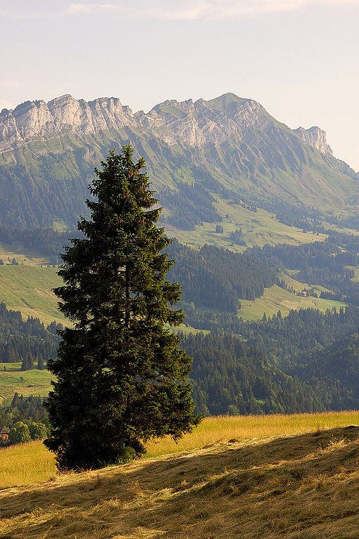
English: View from Finsterwald to Äbnistettenflue, Entlebuch region, Switzerland
Deutsch: Blick von Finsterwald auf den Äbnistettenflue, Entlebuch, Schweiz
Camera: Nikon D50Lens: Tamron 18-200mm F/3,5-6,3 XR Di II LD Aspherical [IF] MACRO |
| Date | |
| Source | Own work |
| Author | Simon Koopmann |
| Permission (Reusing this file) |
Everybody can download it and use it for his own purposes. By publishing or other public usage of the image the author should be mentioned.
This file is licensed under the Creative Commons Attribution-Share Alike 2.0 Germany license.
 |
This image has been assessed using the Quality image guidelines and is considered a Quality image.
|
File history
Click on a date/time to view the file as it appeared at that time.
| Date/Time | Thumbnail | Dimensions | User | Comment | |
|---|---|---|---|---|---|
| current | 18:07, 23 August 2007 | | 1,361 × 2,048 (2.63 MB) | Simonizer (talk | contribs) | {{Location|46|58|18.66|N|8|5|26.29|E}} {{Information |Description={{en|View from Finsterwald to Äbnistettenflue, Entlebuch region, Switzerland}} {{de|Blick von Finsterwald auf den Äbnistettenflue, Entlebuch, Schweiz}} {{Si |
You cannot overwrite this file.
File usage on Commons
The following 11 pages use this file:
- Canton of Lucerne
- User:FlocciNivis/Favorites
- User:Simonizer/archiv/fp
- User:Twhrl/playground
- Commons:Quality images/Subject/Places/Natural structures/archive 2008 to 2012
- Commons:Quality images candidates/Archives August 2007
- Commons:Wiki4List
- Commons:Wiki4List2015
- Commons:Wiki4List 2015
- Commons:Wiki Loves Earth 2022 in Switzerland
- Category:Biosphere Reserve Entlebuch
File usage on other wikis
The following other wikis use this file:
- Usage on ceb.wikipedia.org
- Usage on de.wiktionary.org
- Usage on en.wikipedia.org
- Usage on es.wikipedia.org
- Usage on fa.wikipedia.org
- Usage on fr.wikipedia.org
- Usage on nl.wikipedia.org
- Usage on nn.wikipedia.org
- Usage on pnb.wikipedia.org
- Usage on ro.wiktionary.org
- Usage on www.wikidata.org