File:Adygeya region.png
Jump to navigation
Jump to search
Size of this preview: 615 × 599 pixels. Other resolutions: 246 × 240 pixels | 493 × 480 pixels | 788 × 768 pixels | 1,051 × 1,024 pixels | 1,468 × 1,430 pixels.
Original file (1,468 × 1,430 pixels, file size: 100 KB, MIME type: image/png)
Captions
Captions
Add a one-line explanation of what this file represents
Summary
[edit]
| Description |
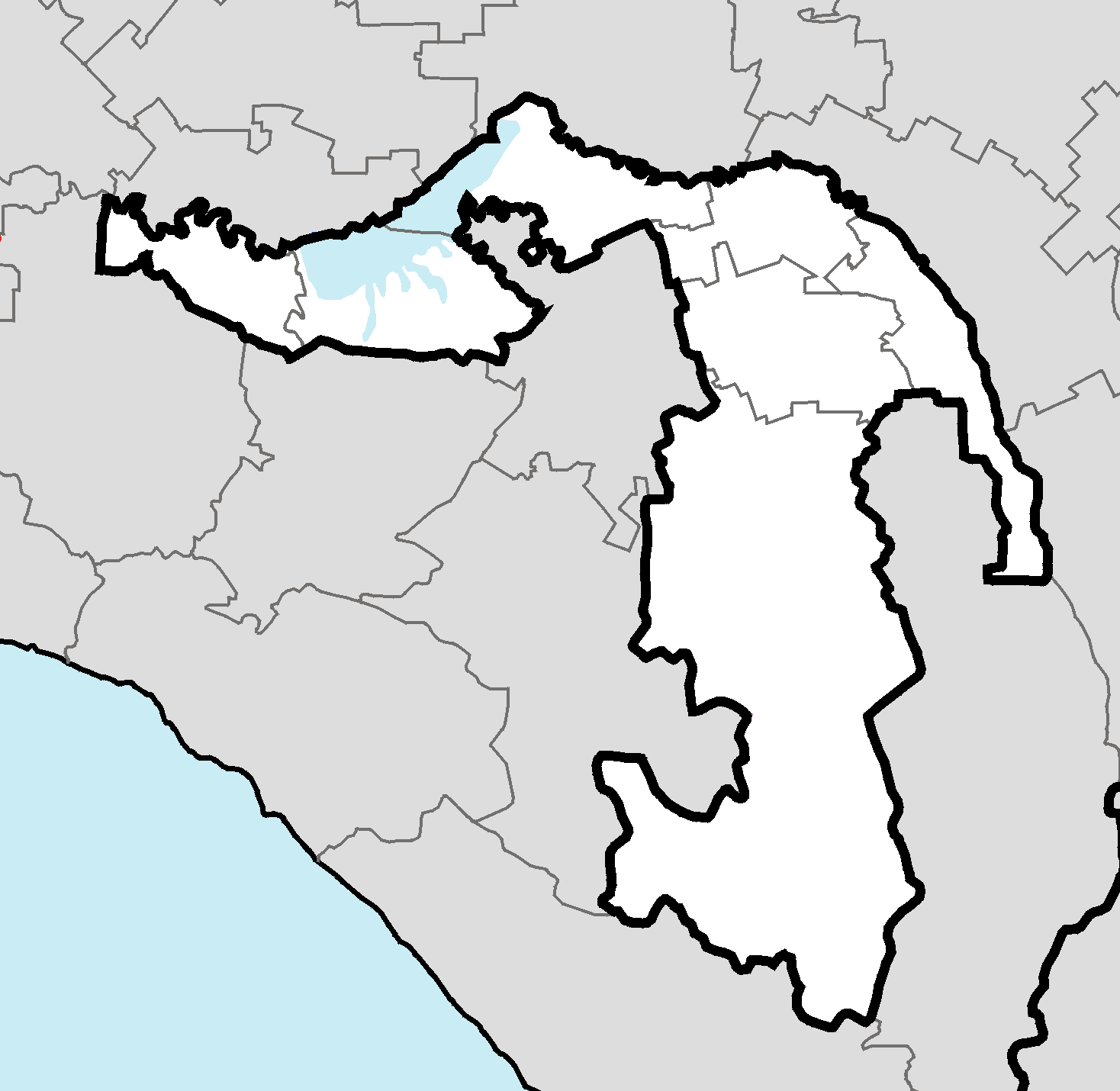
Čeština: Mapa Adygejska v rámci ruské federaci v Mercatorské projekci
English: Administrative map of Adygeya (Russia) in Mercator projecton.
Русский: Административная карта Адыгеи в проекции Меркатора.
Српски / srpski: Административна карта Адигејске у меркаторској пројекцији. Адигејска се налази у Руској Федерацији |
| Date | |
| Source | Own work |
| Author | ru:user:insider |
| Other versions |
 by Koryakov Yuri by Koryakov Yuri |
Licensing
[edit]
| I, the copyright holder of this work, release this work into the public domain. This applies worldwide. In some countries this may not be legally possible; if so: I grant anyone the right to use this work for any purpose, without any conditions, unless such conditions are required by law. |
File history
Click on a date/time to view the file as it appeared at that time.
| Date/Time | Thumbnail | Dimensions | User | Comment | |
|---|---|---|---|---|---|
| current | 15:51, 8 March 2011 | | 1,468 × 1,430 (100 KB) | Blofeld Dr. (talk | contribs) | |
| 01:11, 11 January 2008 |  | 1,468 × 1,430 (37 KB) | Insider (talk | contribs) | == Summary == Administrative map of Adygeya (Russia) in Mercator projecton. Административная карта Адыгеи в проекции Меркатора. {{Information |Description= |Source=own-work |Date=11/01/2008 |Author= [[:ru:use |
You cannot overwrite this file.
File usage on Commons
The following page uses this file:
- File:Location map Adygeya.png (file redirect)
File usage on other wikis
The following other wikis use this file:
- Usage on ar.wikipedia.org
- Usage on de.wikipedia.org
- Usage on eo.wikipedia.org
- Usage on fa.wikipedia.org
- Usage on id.wikipedia.org
- Usage on nn.wikipedia.org
- Usage on ro.wikipedia.org