File:Admiralty Chart No 677 Chart of the east coast of Madagascar including the Mauritius Seychelle islands &c, Published 1828 (cropped title).jpg
Jump to navigation
Jump to search

Size of this preview: 643 × 599 pixels. Other resolutions: 258 × 240 pixels | 515 × 480 pixels | 824 × 768 pixels | 1,099 × 1,024 pixels | 2,198 × 2,048 pixels | 3,560 × 3,317 pixels.
Original file (3,560 × 3,317 pixels, file size: 1.27 MB, MIME type: image/jpeg)
Captions
Captions
Add a one-line explanation of what this file represents
Summary
[edit]| Description |
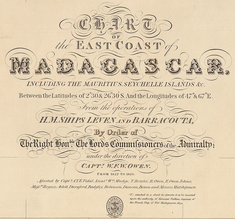
English: Nautical chart of the east coast of Madagascar including the Mauritius and Seychelle islands. Surveyed by H.M. Ships Leven and Barracouta under the direction of Capt. W.F.W. Owen 1822-1826. Not current - not to be used for navigation! |
| Date | |
| Source | https://earthworks.stanford.edu/catalog/princeton-rf55z9546 |
| Author | Hydrographic Office of the Admiralty |
| Other versions |

.jpg&action=edit§ion=1)
Licensing
[edit].jpg&action=edit§ion=2)
This work created by the United Kingdom Government is in the public domain.
This is because it is one of the following:
HMSO has declared that the expiry of Crown Copyrights applies worldwide (ref: HMSO Email Reply)
|
 |
File history
Click on a date/time to view the file as it appeared at that time.
| Date/Time | Thumbnail | Dimensions | User | Comment | |
|---|---|---|---|---|---|
| current | 13:05, 28 December 2021 | | 3,560 × 3,317 (1.27 MB) | Kognos (talk | contribs) | File:Admiralty Chart No 677 Chart of the east coast of Madagascar including the Mauritius Seychelle islands &c, Published 1828.jpg cropped 64 % horizontally, 74 % vertically using CropTool with lossless mode. |
You cannot overwrite this file.
File usage on Commons
The following 3 pages use this file:
File usage on other wikis
The following other wikis use this file:
- Usage on en.wikipedia.org
.jpg&oldid=782285750)