File:Admiralty Chart No 2739 Little Samphire Lighthouse.jpg
Jump to navigation
Jump to search
Size of this preview: 800 × 469 pixels. Other resolutions: 320 × 187 pixels | 640 × 375 pixels | 1,024 × 600 pixels | 1,280 × 750 pixels | 1,950 × 1,142 pixels.
Original file (1,950 × 1,142 pixels, file size: 268 KB, MIME type: image/jpeg)
Captions
Captions
Add a one-line explanation of what this file represents
Summary
[edit]| Description |
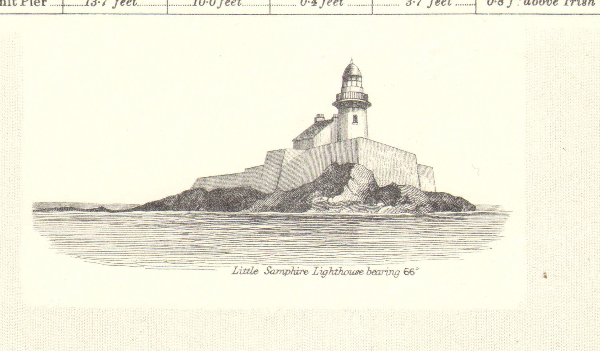
English: Nautical chart of Tralee and Brandon Bays, at a scale of 1:36,500. Surveyed by Commr. R.B. Beechey Assisted by Commr. A.G. Edye and Mr. W.B. Calver Master 1855. Not current - not to be used for navigation! |
| Date | |
| Source | Scan of original Admiralty Chart |
| Author | Capt. Washington, Hydrographer |
| Other versions |

Licensing
[edit]
This work created by the United Kingdom Government is in the public domain.
This is because it is one of the following:
HMSO has declared that the expiry of Crown Copyrights applies worldwide (ref: HMSO Email Reply)
|
 |
File history
Click on a date/time to view the file as it appeared at that time.
| Date/Time | Thumbnail | Dimensions | User | Comment | |
|---|---|---|---|---|---|
| current | 14:13, 24 February 2021 | | 1,950 × 1,142 (268 KB) | Kognos (talk | contribs) | File:Admiralty Chart No 2739 Tralee and Brandon Bays, Published 1860, Corrections to 1972.jpg cropped 88 % horizontally, 90 % vertically using CropTool with lossless mode. |
You cannot overwrite this file.
File usage on Commons
The following page uses this file: