File:Administrative Map of Perm Krai Numbered.svg
Jump to navigation
Jump to search

Size of this PNG preview of this SVG file: 476 × 599 pixels. Other resolutions: 191 × 240 pixels | 381 × 480 pixels | 610 × 768 pixels | 814 × 1,024 pixels | 1,628 × 2,048 pixels | 1,000 × 1,258 pixels.
Original file (SVG file, nominally 1,000 × 1,258 pixels, file size: 213 KB)
Captions
Captions
Add a one-line explanation of what this file represents
Summary
[edit]| Description |
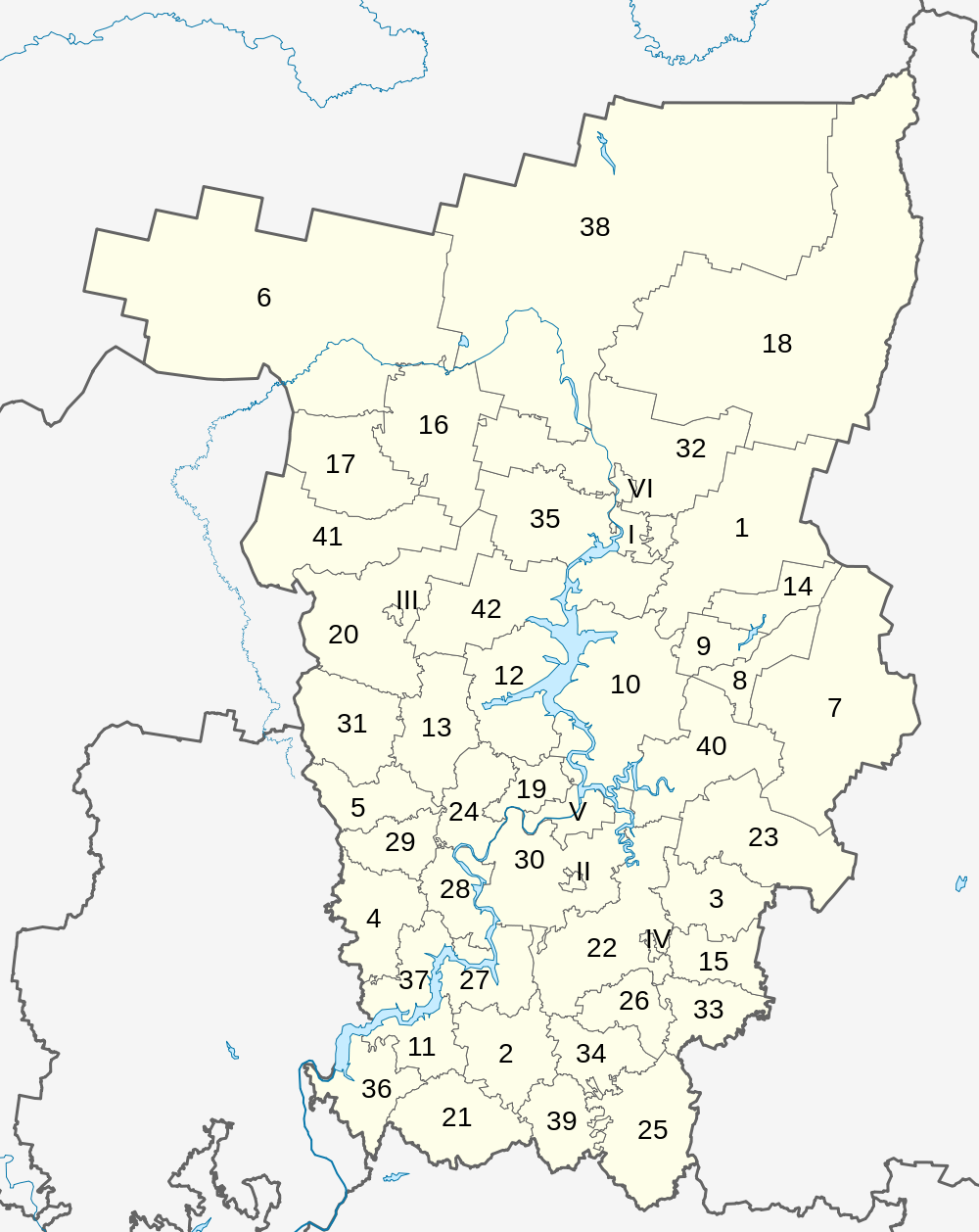
English: Administrative division of Perm Krai, numbered by Russian alphabetical order (1-42 districts, I-VI cities) |
| Date | |
| Source |
Own work, based on File:Outline Map of Perm Krai.svg by Виктор В This W3C-unspecified vector image was created with Inkscape . |
| Author | Amga |
| Other versions |
[] |


Licensing
[edit]
| I, the copyright holder of this work, release this work into the public domain. This applies worldwide. In some countries this may not be legally possible; if so: I grant anyone the right to use this work for any purpose, without any conditions, unless such conditions are required by law. |
File history
Click on a date/time to view the file as it appeared at that time.
| Date/Time | Thumbnail | Dimensions | User | Comment | |
|---|---|---|---|---|---|
| current | 08:53, 3 October 2010 | | 1,000 × 1,258 (213 KB) | Amga (talk | contribs) | == {{int:filedesc}} == {{Information |Description={{en|Administrative division of Perm Krai, numbered by Russian alphabetical order (1-42 districts, I-VI cities)}} |Source={{own}}, based on File:Outline Map of Perm Krai.svg by [[User:Виктор В| |
You cannot overwrite this file.
File usage on Commons
There are no pages that use this file.
File usage on other wikis
The following other wikis use this file:
- Usage on bg.wikipedia.org
- Usage on de.wikipedia.org
- Usage on en.wikipedia.org
- Usage on fi.wikipedia.org
- Usage on mdf.wikipedia.org
- Usage on ru.wikimedia.org
- Usage on sr.wikipedia.org