File:Addis Abeba to Fazokli. War Office ledger. (WOMAT-AFR-ABY-6-3).jpg
Jump to navigation
Jump to search
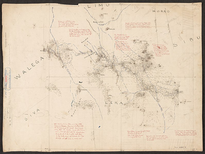
Size of this preview: 797 × 600 pixels. Other resolutions: 319 × 240 pixels | 638 × 480 pixels | 1,021 × 768 pixels | 1,280 × 963 pixels | 2,560 × 1,926 pixels | 7,203 × 5,420 pixels.
Original file (7,203 × 5,420 pixels, file size: 32.15 MB, MIME type: image/jpeg)
Captions
Captions
Add a one-line explanation of what this file represents
Summary
[edit]
; ;
| Title |
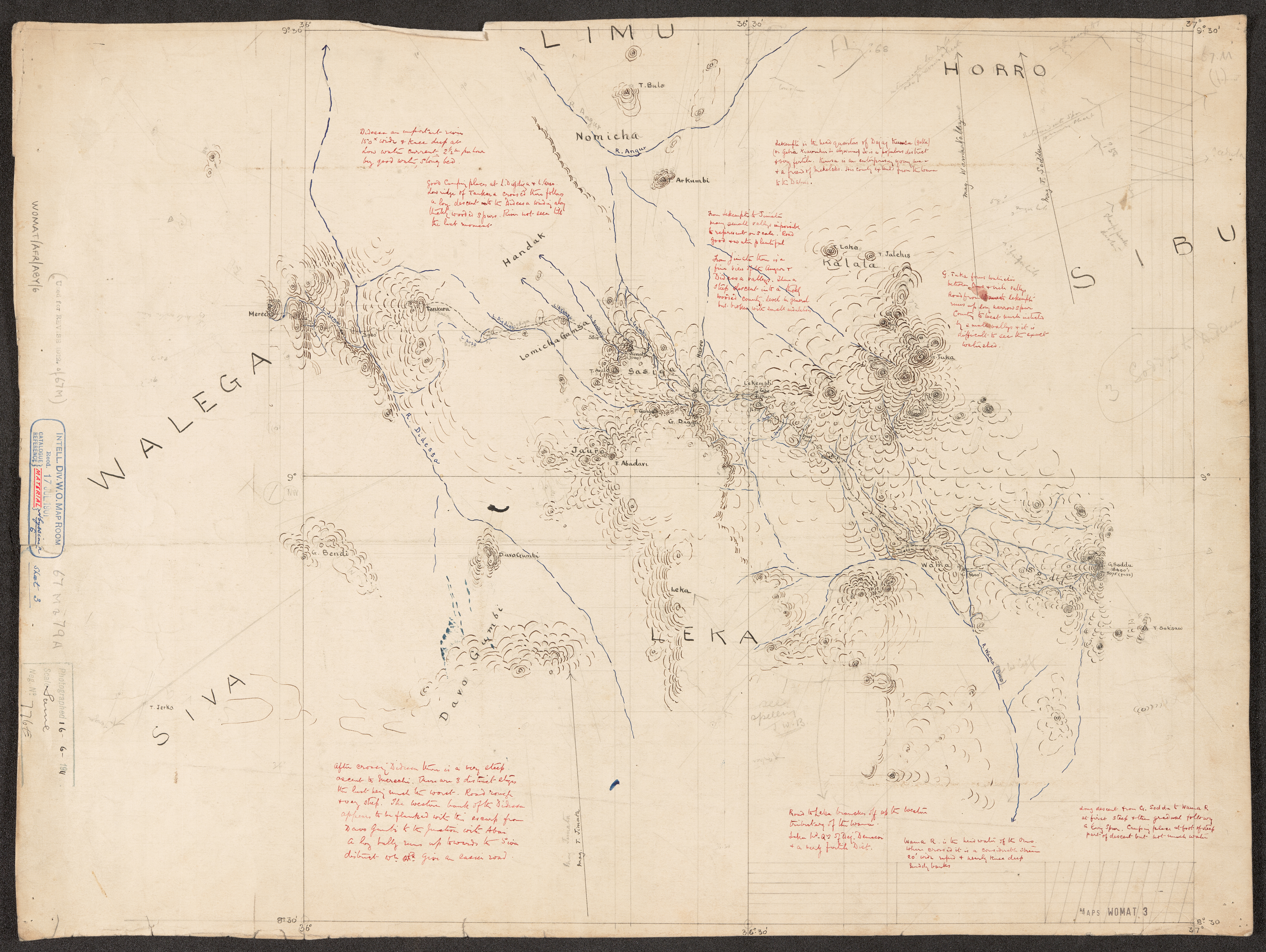
'Addis Abeba to Fazokli.' - War Office ledger. Created by Brevet Major C.W. Gwynn R.E. |
|||||||||
| Description |
Adjoining plane table sheets, numbered 1 to 7, depicting a 400-mile corridor of approximately 50 miles width between Adis Ababa and Jebal Fazokli in western Abyssinia. The sheets portray hydrology, relief by form lines and spot heights, settlements, place names and the route taken, and include topographical and expedition notes.Sheet 1 bears notes on verso relating to sheet content.Compilation date derived from note by Major Gwynn on ABY/27/4 for which these sheets provided compilation material. NB The spelling 'Adis Ababa' is used on the map face; 'Addis Abeba' is used in the War Office ledger. |
|||||||||
| British Library Shelfmark | WOMAT/AFR/ABY/6/3 | |||||||||
| Locations Depicted | Adis Ababa, Abyssinia Jebel Fazokli, Amhara, Abyssinia | |||||||||
| Centre Point Coordinates | 10.0000,36.5417 | |||||||||
| Date | [1901] | |||||||||
| Source |
|
|||||||||
| Creator |
Gwynn, Sir, Charles William, 1870-1963, army officer, Knight, Surveyor |
|||||||||
| Permission (Reusing this file) |
|
|||||||||
| Geotemporal data | ||||||||||
| Map location | Abyssinia | |||||||||
| Scale | Scale 1:250,000 | |||||||||
| Bounding box |
|
|||||||||
| Georeferencing | If inappropriate please set warp_status = skip to hide. | |||||||||
| Archival data | ||||||||||
| Collection | ||||||||||
| Dimensions | 64 x 61cm or smaller | |||||||||
| Medium | Manuscript: coloured ink and pencil on paper | |||||||||
| Notes | For more information please see the British Library’s Collection Guide to the War Office Archive. | |||||||||

_(St_Edwards_Crown).svg)


.jpg&action=edit§ion=1)
.jpg¶ms=11.5000_N_34.0833_E_)
.jpg¶ms=11.5000_N_39.0000_E_)
.jpg¶ms=8.5000_N_34.0833_E_)
.jpg¶ms=8.5000_N_39.0000_E_)
File history
Click on a date/time to view the file as it appeared at that time.
| Date/Time | Thumbnail | Dimensions | User | Comment | |
|---|---|---|---|---|---|
| current | 18:35, 22 March 2018 | | 7,203 × 5,420 (32.15 MB) | Ndalyrose (talk | contribs) | GWToolset: Creating mediafile for Ndalyrose. |
You cannot overwrite this file.
File usage on Commons
There are no pages that use this file.
.jpg&oldid=781969811)