File:Acharnes, Greece - panoramio (12).jpg
Jump to navigation
Jump to search

Size of this preview: 798 × 145 pixels. Other resolutions: 320 × 58 pixels | 640 × 116 pixels | 1,024 × 186 pixels | 1,280 × 233 pixels | 6,741 × 1,225 pixels.
Original file (6,741 × 1,225 pixels, file size: 1.12 MB, MIME type: image/jpeg)
Captions
Captions
Add a one-line explanation of what this file represents
Summary
[edit].jpg&action=edit§ion=1)
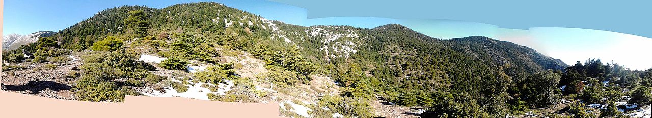
| Description | Acharnes, Greece | ||
| Date | Taken on 8 December 2013 | ||
| Source | https://web.archive.org/web/20161029180858/http://www.panoramio.com/photo/100307972 | ||
| Author | Alexandros Georgiou | ||
| Permission (Reusing this file) |
This file is licensed under the Creative Commons Attribution 3.0 Unported license. Attribution: Alexandros Georgiou
|
||
| Tags (from Panoramio photo page) | Anatoliki Attiki, 2013, Attica, East Attica, Greece, panorama, Parnitha |
| Camera location | | View this and other nearby images on: OpenStreetMap |
|---|
.jpg¶ms=038.164988_N_0023.736288_E_globe:Earth_type:camera_source:Panoramio_&language=en)
File history
Click on a date/time to view the file as it appeared at that time.
| Date/Time | Thumbnail | Dimensions | User | Comment | |
|---|---|---|---|---|---|
| current | 00:05, 9 March 2017 | 6,741 × 1,225 (1.12 MB) | Panoramio upload bot (talk | contribs) | == {{int:filedesc}} == {{Information |description=Acharnes, Greece |date={{Taken on|2013-12-08}} |source=http://www.panoramio.com/photo/100307972 |author=[http://www.panoramio.com/user/1828959?with_photo_id=100307972 Alexandros Georgiou] |permission={{... |
You cannot overwrite this file.
File usage on Commons
There are no pages that use this file.
.jpg&oldid=781183010)