File:Acadia NP Historic Motor Road Vista 47 thru 61 Images September 2013 (6f441390-c13d-4bd8-89ad-d09f6c748def).jpg
Original file (2,024 × 819 pixels, file size: 202 KB, MIME type: image/jpeg)
Captions
Captions
| Camera location | | View this and other nearby images on: OpenStreetMap |
|---|
.jpg¶ms=044.350700_N_-068.244102_E_globe:Earth_type:camera_alt:0_source:exif_&language=en)

|
The categories of this image need checking. You can do so here.
|
.jpg&action=edit&withJS=MediaWiki:Catcheck.js)
Summary
[edit].jpg&action=edit§ion=1)
| English: Acadia NP Historic Motor Road Vista 47 thru 61 Images September 2013 | ||||
|---|---|---|---|---|
| Photographer |
English: NPS Staff (Olmsted Center for Landscape Preservation (OCLP)) |
|||
| Title |
English: Acadia NP Historic Motor Road Vista 47 thru 61 Images September 2013 |
|||
| Description |
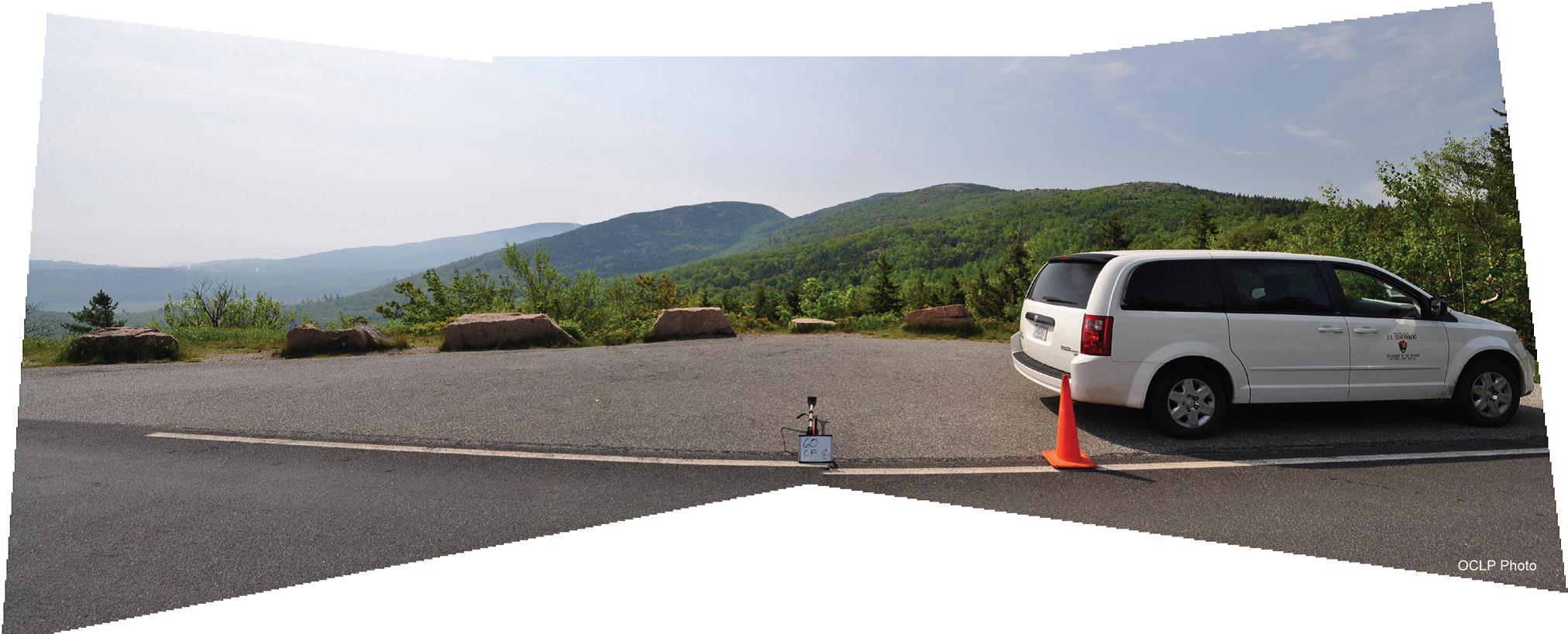
English: Images taken by Eliot Foulds, Historical Landscape Architect, OCLP and Jeff Killion, Historical Landscape Architect, OCLP as part of the development of the Vista Management Plan for the Historic Motor Road System Acadia National Park. pt 1. Motor road Vista 47, pt 2. Motor road Vista 48, pt 3. Motor road Vista 49, pt 4. Motor road Vista 50, pt 5. Motor road Vista 51, pt 6. Motor road Vista 52, pt 7. Motor road Vista 53, pt 8. Motor road Vista 54, pt 9. Motor road Vista 55, pt 10. Motor road Vista 56, pt 11. Motor road Vista 57, pt 12. Motor road Vista 58, pt 13. Motor road Vista 59, pt 14. Motor road Vista 60, pt 15. Motor road Vista 61
|
|||
| Depicted place |
English: Acadia National Park, Hancock County, Maine |
|||
| Date | Taken on 17 September 2014 | |||
| Accession number | ||||
| Source |
English: NPGallery |
|||
| Permission (Reusing this file) |
|
|||
| Collector | English: Picasa |
|||
| NPS Unit Code | ACAD | |||
| Legacy NPS Focus Record ID | 524010 | |||
File history
Click on a date/time to view the file as it appeared at that time.
| Date/Time | Thumbnail | Dimensions | User | Comment | |
|---|---|---|---|---|---|
| current | 10:59, 30 June 2019 | 2,024 × 819 (202 KB) | BMacZeroBot (talk | contribs) | Batch upload (Commons:Batch uploading/NPGallery) |
You cannot overwrite this file.
File usage on Commons
The following page uses this file:
.jpg)
.jpg&oldid=780359131)