File:Abraham Ortelius, Palestinae sive totius Terrae Promissionis nova descriptio 02-with-inscription (FL147392292 2368830).jpg
Jump to navigation
Jump to search

Size of this preview: 774 × 600 pixels. Other resolutions: 310 × 240 pixels | 619 × 480 pixels | 991 × 768 pixels | 1,280 × 992 pixels | 2,560 × 1,984 pixels | 7,891 × 6,116 pixels.
Original file (7,891 × 6,116 pixels, file size: 61.2 MB, MIME type: image/jpeg)
Captions
Captions
Add a one-line explanation of what this file represents
Summary
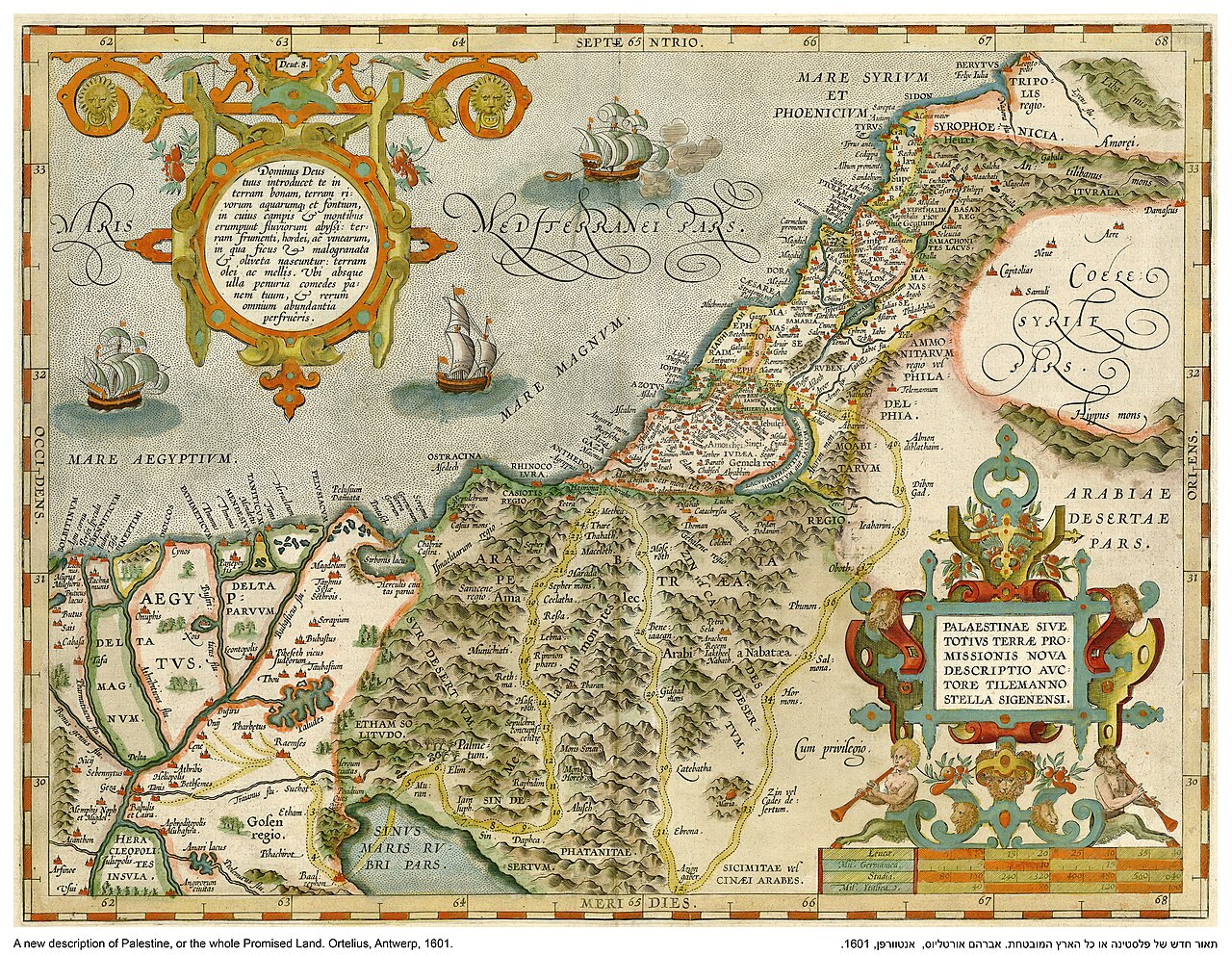
[edit]| Abraham Ortelius: Palestinae sive totius Terrae Promissionis nova descriptio
( |
||||||||||||||||||||||||
|---|---|---|---|---|---|---|---|---|---|---|---|---|---|---|---|---|---|---|---|---|---|---|---|---|
| Artist |
| |||||||||||||||||||||||
| Contributors | Stella, Tilemann, 1525-1589 Moretus, Jan, 1543-1610 | |||||||||||||||||||||||
| Title |
Palestinae sive totius Terrae Promissionis nova descriptio |
|||||||||||||||||||||||
| Publisher |
Officina Plantiniana-Johannes Moretus |
|||||||||||||||||||||||
| Description |
Palestinae sive totius Terrae Promissionis nova descriptio. avctore Tilemanno Stella Sigenensi. |
|||||||||||||||||||||||
| Language | Latin | |||||||||||||||||||||||
| Publication date | 1601 | |||||||||||||||||||||||
| Dimensions | height: 342 mm (13.46 in); width: 454 mm (17.87 in) | |||||||||||||||||||||||
| Collection |
|
|||||||||||||||||||||||
| Current location |
|
|||||||||||||||||||||||
| Place of publication | Antwerp | |||||||||||||||||||||||
| search Merhav catalog | Antwerp | |||||||||||||||||||||||
| Notes | Copperplate; From: Ortelius, Abraham, Thetrum orbis terrarum, Antwerp, Officiana Plantiniana - Johannes Moretus, 1601. Parergon Signum Ij.; This is the third variant of the first Palestine map of Ortelius. First published in 1595 | |||||||||||||||||||||||
| IE PID | IE147392280 | |||||||||||||||||||||||
| Rosetta filename | FL147392292 | |||||||||||||||||||||||
| NNL item ID (P3959) | 990023688300205171 | |||||||||||||||||||||||
| search Merhav catalog | Latin, Abraham Ortelius | |||||||||||||||||||||||
| search Merhav catalog | Officina Plantiniana-Johannes Moretus | |||||||||||||||||||||||
| Source/Photographer |
|
|||||||||||||||||||||||
| Other versions | ||||||||||||||||||||||||
| Jpg / Tif version |
|
|||||||||||||||||||||||


.jpg)

.jpg&action=edit§ion=1)
Licensing
[edit].jpg&action=edit§ion=2)
The copyright situation of this work is theoretically uncertain, because in the country of origin copyright lasts 70 years after the death of the author, and the date of the author's death is unknown. However, the date of creation of the work was over 120 years ago, and it is thus a reasonable assumption that the copyright has expired (see here for the community discussion). Do not use this template if the date of death of the author is known.
| |
| This file has been identified as being free of known restrictions under copyright law, including all related and neighboring rights. | |
File history
Click on a date/time to view the file as it appeared at that time.
| Date/Time | Thumbnail | Dimensions | User | Comment | |
|---|---|---|---|---|---|
| current | 20:04, 28 July 2023 | | 7,891 × 6,116 (61.2 MB) | Geagea (talk | contribs) | pattypan 22.03 |
You cannot overwrite this file.
File usage on Commons
The following page uses this file:
.jpg&oldid=802008057)