File:Abbildung des Oelbergs- nach den neuen Reisebeschreibungen.jpg
Jump to navigation
Jump to search

Size of this preview: 662 × 599 pixels. Other resolutions: 265 × 240 pixels | 530 × 480 pixels | 848 × 768 pixels | 1,131 × 1,024 pixels | 2,262 × 2,048 pixels | 2,629 × 2,380 pixels.
Original file (2,629 × 2,380 pixels, file size: 3.3 MB, MIME type: image/jpeg)
Captions
Captions
Add a one-line explanation of what this file represents
Summary
[edit]| Description |
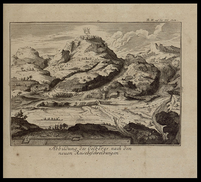
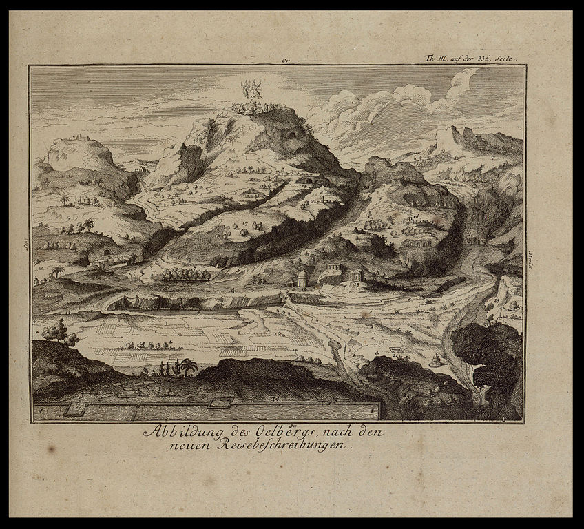
English: Mount of Olives, by Calmet, 1757.
עברית: הר הזיתים מאת קלמה, 1753.
Dimensions:152 x 211 mm Click to enlarge. |
|||
| Date | ||||
| Source | The Eran Laor Cartographic Collection, National Library of Israel | |||
| Author | The National Library of Israel |


Licensing
[edit]
|
This work is in the public domain in its country of origin and other countries and areas where the copyright term is the author's life plus 70 years or fewer. | |
| This file has been identified as being free of known restrictions under copyright law, including all related and neighboring rights. | |
File history
Click on a date/time to view the file as it appeared at that time.
| Date/Time | Thumbnail | Dimensions | User | Comment | |
|---|---|---|---|---|---|
| current | 14:21, 13 December 2015 | | 2,629 × 2,380 (3.3 MB) | National Library of Israel (talk | contribs) | |
| 14:18, 13 December 2015 |  | 2,629 × 2,380 (3.3 MB) | National Library of Israel (talk | contribs) | ||
| 13:51, 13 December 2015 |  | 2,629 × 2,380 (3.3 MB) | National Library of Israel (talk | contribs) | ||
| 13:47, 13 December 2015 |  | 2,629 × 2,380 (3.3 MB) | National Library of Israel (talk | contribs) |
You cannot overwrite this file.
File usage on Commons
The following 3 pages use this file: