File:Aabach - Robenhausen - Seegräben 2014-10-31 15-33-51.JPG
Jump to navigation
Jump to search

Size of this preview: 800 × 530 pixels. Other resolutions: 320 × 212 pixels | 640 × 424 pixels | 1,024 × 678 pixels | 1,280 × 848 pixels | 2,560 × 1,696 pixels | 4,928 × 3,264 pixels.
Original file (4,928 × 3,264 pixels, file size: 4.44 MB, MIME type: image/jpeg)
Captions
Captions
Add a one-line explanation of what this file represents
Summary
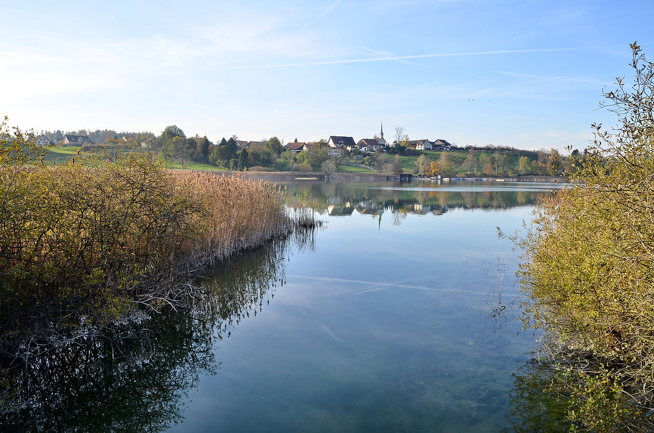
[edit]| Description | Ustermer Aa at Robenhausen (Robenhuserriet) in Wetzikon (Switzerland), Seegräben in the background. |
| Date | |
| Source | Own work |
| Author | Roland zh |
| Other versions |
|
| Attribution (required by the license) | © Roland Fischer, Zürich (Switzerland) – Mail notification to: roland_zh(at)hispeed(dot)ch / Wikimedia Commons / |
_-_Robenhauser_Riet_IMG_4891.JPG)
_-_Robenhauser_Riet_IMG_4895.JPG)
_-_Robenhauser_Riet_2010-07-01_14-02-12.JPG)
_-_Seegr%C3%A4ben_IMG_4892.JPG)
| Camera location | | View this and other nearby images on: OpenStreetMap |
|---|
|
This is an image of a cultural property of national significance in Switzerland with KGS number 7747
|
Licensing
[edit]
I, the copyright holder of this work, hereby publish it under the following license:
This file is licensed under the Creative Commons Attribution-Share Alike 3.0 Unported license.
- You are free:
- to share – to copy, distribute and transmit the work
- to remix – to adapt the work
- Under the following conditions:
- attribution – You must give appropriate credit, provide a link to the license, and indicate if changes were made. You may do so in any reasonable manner, but not in any way that suggests the licensor endorses you or your use.
- share alike – If you remix, transform, or build upon the material, you must distribute your contributions under the same or compatible license as the original.
File history
Click on a date/time to view the file as it appeared at that time.
| Date/Time | Thumbnail | Dimensions | User | Comment | |
|---|---|---|---|---|---|
| current | 21:03, 31 October 2014 | | 4,928 × 3,264 (4.44 MB) | Roland zh (talk | contribs) | == {{int:filedesc}} == {{Information |Description= ''Ustermer Aa'' at ''Robenhuserriet'' in Wetzikon ({{Switzerland}}), Seegräben in the background. |... |
You cannot overwrite this file.
File usage on Commons
The following page uses this file:
File usage on other wikis
The following other wikis use this file:
- Usage on en.wikipedia.org
- Usage on fr.wikipedia.org