File:A plan of that part of the Rosalij Estate call'd the Grand Fonds, the property of His Excellcy. Charles O'Harra, the Honble. Lieut. Governor William Stuart, James Clarke and Robt. & Phill. Browne, LOC 74695804.jpg
Jump to navigation
Jump to search

Size of this preview: 800 × 589 pixels. Other resolutions: 320 × 236 pixels | 640 × 471 pixels | 1,024 × 754 pixels | 1,280 × 943 pixels | 2,560 × 1,885 pixels | 8,052 × 5,929 pixels.
Original file (8,052 × 5,929 pixels, file size: 3.49 MB, MIME type: image/jpeg)
Captions
Captions
Add a one-line explanation of what this file represents
Summary
[edit]| Description |
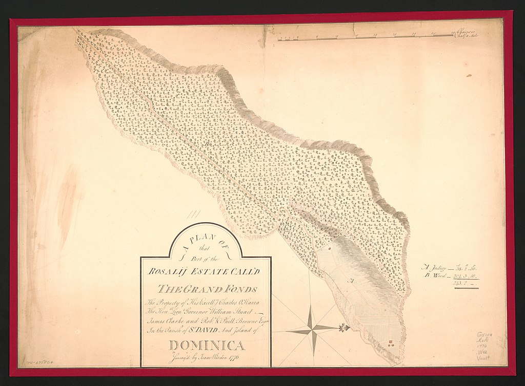
English: Scale ca. 1:3,960. Manuscript, pen-and-ink and watercolor. Relief shown by shading. Watermark: J. Whatman: C. [and a fleur-de-lis on a crowned shield, over the letters GR] Oriented with north to the right. Shows indigo and wood. Annotated over title: 111. Indexed. LC Maps of North America, 1750-1789, 2035 LC Luso-Hispanic World, 377 Available also through the Library of Congress Web site as a raster image. Vault AACR2: 100; 440 |
||
| Title | A plan of that part of the Rosalij Estate call'd the Grand Fonds, the property of His Excellcy. Charles O'Harra, the Honble. Lieut. Governor William Stuart, James Clarke and Robt. & Phill. Browne, Esqrs., in the parish of St. David and island of Dominica. | ||
| Shelf ID | G5104.R6A1 1776 .W42 | ||
| Date | |||
| Source | https://www.loc.gov/item/74695804/ | ||
| Author | Werden, Isaac | ||
| Permission (Reusing this file) |
|
||
| Other versions |
|
||
| Location | Rosalie Region. · Rosalie Region · Dominica | ||
| Part of | Cities And Towns · Military Battles And Campaigns · Catalog · American Memory · Geography And Map Division · American Revolution And Its Era: Maps And Charts Of North America And The West Indies, 1750-1789 | ||
| Subject | Rosalie Region, Dominica · Early Works To 1800 · Rosalie Region · Dominica · Maps, Manuscript |


Licensing
[edit]
|
This is a faithful photographic reproduction of a two-dimensional, public domain work of art. The work of art itself is in the public domain for the following reason:
The official position taken by the Wikimedia Foundation is that "faithful reproductions of two-dimensional public domain works of art are public domain".
This photographic reproduction is therefore also considered to be in the public domain in the United States. In other jurisdictions, re-use of this content may be restricted; see Reuse of PD-Art photographs for details. | ||||
File history
Click on a date/time to view the file as it appeared at that time.
| Date/Time | Thumbnail | Dimensions | User | Comment | |
|---|---|---|---|---|---|
| current | 02:36, 1 December 2018 | | 8,052 × 5,929 (3.49 MB) | Fæ (talk | contribs) | LOC Maps https://www.loc.gov/item/74695804/ #6018 |
You cannot overwrite this file.
File usage on Commons
The following page uses this file: