File:A new map of Jamaica; in which the several towns, forts, & settlements are accurately laid down, as well as the situations & depths of the most noted harbours and anchoring places ... LOC 73691867.jpg
Jump to navigation
Jump to search

Size of this preview: 752 × 599 pixels. Other resolutions: 301 × 240 pixels | 602 × 480 pixels | 964 × 768 pixels | 1,280 × 1,020 pixels | 2,560 × 2,041 pixels | 10,538 × 8,400 pixels.
Original file (10,538 × 8,400 pixels, file size: 9.69 MB, MIME type: image/jpeg)
Captions
Captions
Add a one-line explanation of what this file represents
Summary
[edit]| Warning | The original file is very high-resolution. It might not load properly or could cause your browser to freeze when opened at full size. |
|---|
| Description |
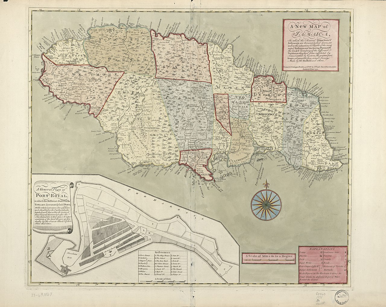
English: Scale ca. 1:500,000. Hand colored. Relief shown pictorially. Soundings shown in fathoms. "Publish'd 1st. Jany. 1771." LC Maps of North America, 1750-1789, 1927 Available also through the Library of Congress Web site as a raster image. Includes inset "A general plan of Port Royal, in which the different states of the town are accurately laid down," ca. 1:3,200. No. "47" on verso. Vault AACR2 |
||
| Title | A new map of Jamaica; in which the several towns, forts, & settlements are accurately laid down, as well as the situations & depths of the most noted harbours and anchoring places ... | ||
| Shelf ID | G4960 1771 .B6 G4960 1771 .B6 Copy 2 Vault | ||
| Date | |||
| Source | https://www.loc.gov/item/73691867/ | ||
| Author | Bowles, Carington; Sheffield | ||
| Permission (Reusing this file) |
|
||
| Other versions |
|
||
| Location | Jamaica · Port Royal | ||
| Part of | Military Battles And Campaigns · American Memory · Catalog · Geography And Map Division · American Revolution And Its Era: Maps And Charts Of North America And The West Indies, 1750-1789 | ||
| Subject | Jamaica · Early Maps · Maps · Early Works To 1800 · Port Royal · Port Royal, Jamaica |


Licensing
[edit]
|
This is a faithful photographic reproduction of a two-dimensional, public domain work of art. The work of art itself is in the public domain for the following reason:
The official position taken by the Wikimedia Foundation is that "faithful reproductions of two-dimensional public domain works of art are public domain".
This photographic reproduction is therefore also considered to be in the public domain in the United States. In other jurisdictions, re-use of this content may be restricted; see Reuse of PD-Art photographs for details. | ||||
File history
Click on a date/time to view the file as it appeared at that time.
| Date/Time | Thumbnail | Dimensions | User | Comment | |
|---|---|---|---|---|---|
| current | 07:05, 16 May 2018 | | 10,538 × 8,400 (9.69 MB) | Fæ (talk | contribs) | LOC Maps https://www.loc.gov/item/73691867/ #9388 |
You cannot overwrite this file.
File usage on Commons
The following page uses this file: