File:A new general Chart of the Atlantic or western Ocean and adjacent seas... - btv1b53027605r.jpg
Jump to navigation
Jump to search

Size of this preview: 800 × 587 pixels. Other resolutions: 320 × 235 pixels | 640 × 469 pixels | 1,024 × 751 pixels | 1,280 × 939 pixels | 2,560 × 1,877 pixels | 17,264 × 12,661 pixels.
Original file (17,264 × 12,661 pixels, file size: 30.29 MB, MIME type: image/jpeg)
Captions
Captions
Add a one-line explanation of what this file represents
Summary
[edit]| Warning | The original file is very high-resolution. It might not load properly or could cause your browser to freeze when opened at full size. |
|---|
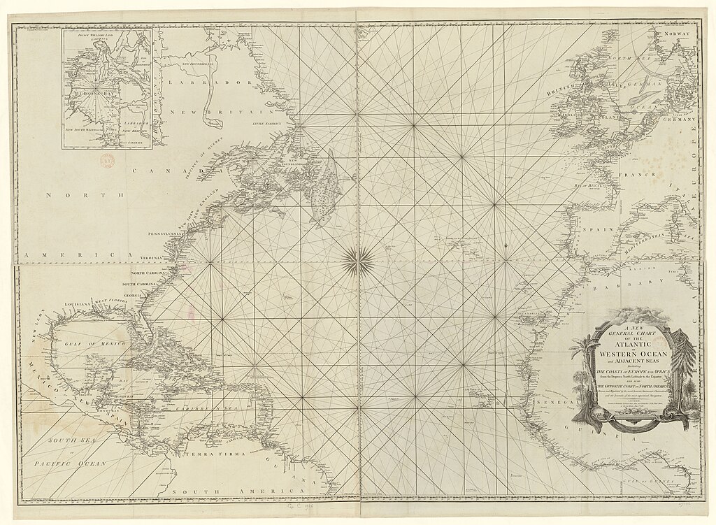
| A new general Chart of the Atlantic or western Ocean and adjacent seas...
( |
|||||||||||||||||||||||||||
|---|---|---|---|---|---|---|---|---|---|---|---|---|---|---|---|---|---|---|---|---|---|---|---|---|---|---|---|
| Title |
A new general Chart of the Atlantic or western Ocean and adjacent seas... |
||||||||||||||||||||||||||
| Description |
Français : Sujet : Atlantique, Océan
Langue : anglais Éditeur : R. Sayer (London) |
||||||||||||||||||||||||||
| Date | 1786 | ||||||||||||||||||||||||||
| Dimensions | height: 98 cm (38.5 in); width: 139 cm (54.7 in) | ||||||||||||||||||||||||||
| Collection |
|
||||||||||||||||||||||||||
| References |
Français : Notice du catalogue : http://catalogue.bnf.fr/ark:/12148/cb40678050f |
||||||||||||||||||||||||||
| Source/Photographer |
Français : Bibliothèque nationale de France, département Cartes et plans, GE C-1926
Bibliothèque nationale de France |
||||||||||||||||||||||||||
| Permission (Reusing this file) |
|
||||||||||||||||||||||||||

File history
Click on a date/time to view the file as it appeared at that time.
| Date/Time | Thumbnail | Dimensions | User | Comment | |
|---|---|---|---|---|---|
| current | 19:17, 15 August 2022 | | 17,264 × 12,661 (30.29 MB) | Gzen92Bot (talk | contribs) | Gallica btv1b53027605r |
You cannot overwrite this file.
File usage on Commons
The following page uses this file: