File:A map of Virginia and Maryland LOC 2013587749.jpg
Jump to navigation
Jump to search

Size of this preview: 690 × 599 pixels. Other resolutions: 276 × 240 pixels | 553 × 480 pixels | 884 × 768 pixels | 1,179 × 1,024 pixels | 2,364 × 2,053 pixels.
Original file (2,364 × 2,053 pixels, file size: 922 KB, MIME type: image/jpeg)
Captions
Captions
Add a one-line explanation of what this file represents
Summary
[edit]| Description |
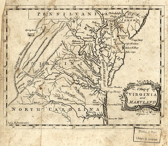
English: Shows towns and rivers east of the Allegheny Mountains. Relief shown by hachures. From Geographical and Historical Grammer of the World (Edinburgh: Salmon, Sands, Murray and Cochran; 1767). Prime meridian: London. LC Maps of North America, 1750-1789, 1391 Available also through the Library of Congress Web site as a raster image. LC copy imperfect: Overall discoloration, liquid staining, wormholes, and spotting throughout. On sticker on verso upper left corner: 326/2. |
||
| Title | A map of Virginia and Maryland | ||
| Shelf ID | G3880 1767 .G3 | ||
| Date | |||
| Source | https://www.loc.gov/item/2013587749/ | ||
| Author | Gavin, H. | ||
| Permission (Reusing this file) |
|
||
| Other versions |
|
||
| Location | United States · Maryland · Virginia | ||
| Part of | Military Battles And Campaigns · American Memory · Catalog · Geography And Map Division · American Revolution And Its Era: Maps And Charts Of North America And The West Indies, 1750-1789 | ||
| Subject | Early Maps · Virginia · United States · Maps · Early Works To 1800 · Maryland |


Licensing
[edit]
|
This is a faithful photographic reproduction of a two-dimensional, public domain work of art. The work of art itself is in the public domain for the following reason:
The official position taken by the Wikimedia Foundation is that "faithful reproductions of two-dimensional public domain works of art are public domain".
This photographic reproduction is therefore also considered to be in the public domain in the United States. In other jurisdictions, re-use of this content may be restricted; see Reuse of PD-Art photographs for details. | ||||
File history
Click on a date/time to view the file as it appeared at that time.
| Date/Time | Thumbnail | Dimensions | User | Comment | |
|---|---|---|---|---|---|
| current | 09:07, 5 June 2018 | | 2,364 × 2,053 (922 KB) | Fæ (talk | contribs) | LOC Maps https://www.loc.gov/item/2013587749/ #20648 |
You cannot overwrite this file.
File usage on Commons
The following page uses this file: