File:A lane enters Sussex from Kent - geograph.org.uk - 1744150.jpg
Jump to navigation
Jump to search
Size of this preview: 800 × 600 pixels. Other resolutions: 320 × 240 pixels | 640 × 480 pixels | 1,024 × 768 pixels | 1,280 × 960 pixels | 2,560 × 1,920 pixels | 3,072 × 2,304 pixels.
Original file (3,072 × 2,304 pixels, file size: 2.32 MB, MIME type: image/jpeg)
Captions
Captions
Add a one-line explanation of what this file represents
Summary
[edit]
| Description |
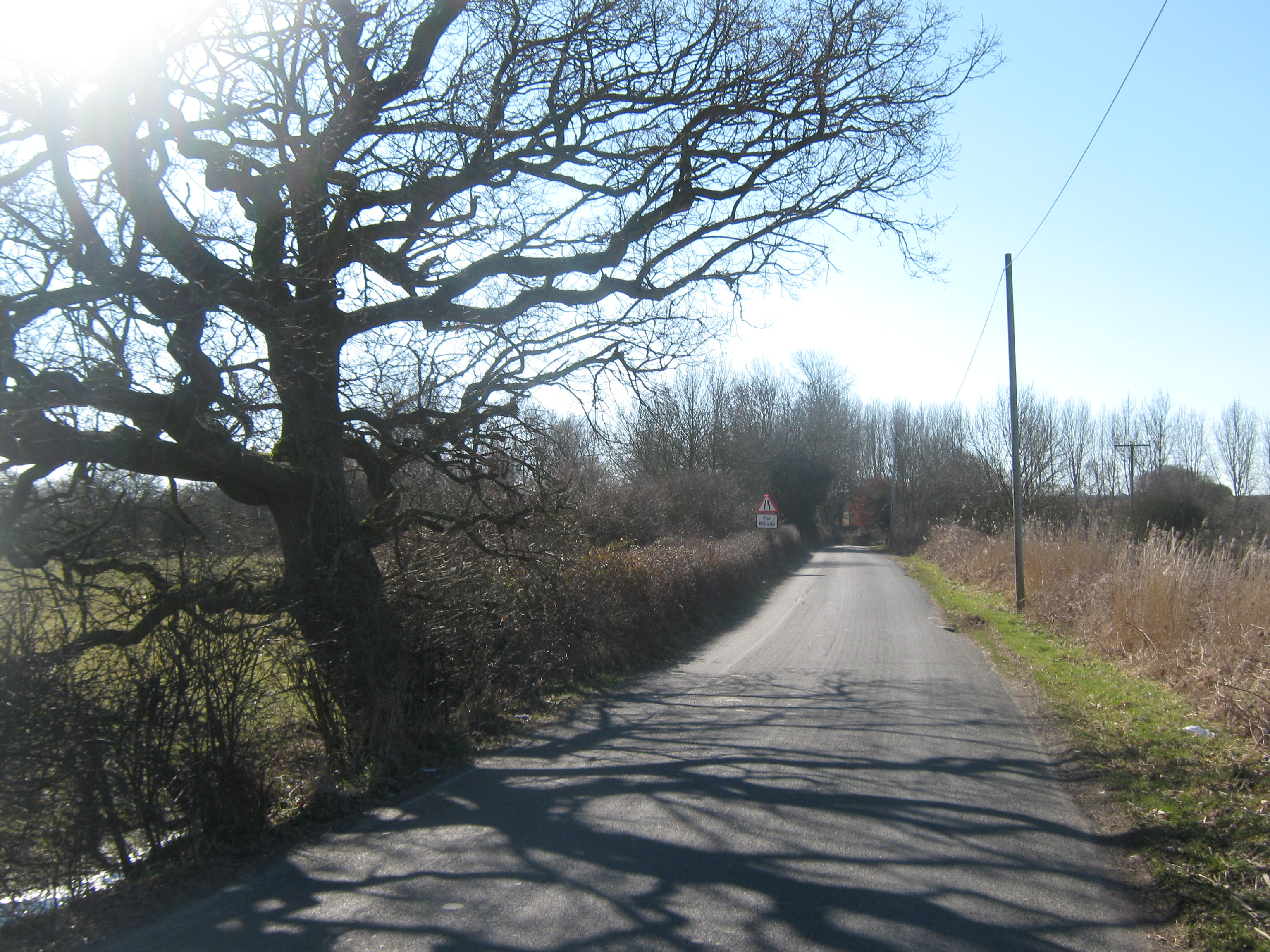
English: A lane enters Sussex from Kent This unnamed lane leads from Ham Green over the River Rother (and Blackwall Bridge) and carries on towards Four Oaks. The County border between Kent and Sussex was following the Otter Channel (a drain near the River) then it goes around the pumping station on Southside of the river.
The border is not shown on the road - this tree is as close as I can guess where the border is !!! Sussex being beyond! |
| Date | |
| Source | From geograph.org.uk |
| Author | David Anstiss |
| Attribution (required by the license) | David Anstiss / A lane enters Sussex from Kent / |
| Camera location | | View this and other nearby images on: OpenStreetMap |
|---|
_heading:202.00&language=en)
| Object location | | View this and other nearby images on: OpenStreetMap |
|---|
_heading:202.00&language=en)
Licensing
[edit]

|
This image was taken from the Geograph project collection. See this photograph's page on the Geograph website for the photographer's contact details. The copyright on this image is owned by David Anstiss and is licensed for reuse under the Creative Commons Attribution-ShareAlike 2.0 license.
|
This file is licensed under the Creative Commons Attribution-Share Alike 2.0 Generic license.
Attribution: David Anstiss
- You are free:
- to share – to copy, distribute and transmit the work
- to remix – to adapt the work
- Under the following conditions:
- attribution – You must give appropriate credit, provide a link to the license, and indicate if changes were made. You may do so in any reasonable manner, but not in any way that suggests the licensor endorses you or your use.
- share alike – If you remix, transform, or build upon the material, you must distribute your contributions under the same or compatible license as the original.
File history
Click on a date/time to view the file as it appeared at that time.
| Date/Time | Thumbnail | Dimensions | User | Comment | |
|---|---|---|---|---|---|
| current | 18:03, 5 March 2011 | | 3,072 × 2,304 (2.32 MB) | GeographBot (talk | contribs) | == {{int:filedesc}} == {{Information |description={{en|1=A lane enters Sussex from Kent This unnamed lane leads from Ham Green over the River Rother (and Blackwall Bridge) and carries on towards Four Oaks. The County border between Kent and Sussex was fol |
You cannot overwrite this file.
File usage on Commons
There are no pages that use this file.