File:A chart of the East sea - btv1b59734976.jpg
Jump to navigation
Jump to search
Size of this preview: 740 × 600 pixels. Other resolutions: 296 × 240 pixels | 592 × 480 pixels | 948 × 768 pixels | 1,264 × 1,024 pixels | 2,528 × 2,048 pixels | 7,296 × 5,912 pixels.
Original file (7,296 × 5,912 pixels, file size: 6.94 MB, MIME type: image/jpeg)
Captions
Captions
Add a one-line explanation of what this file represents
Summary
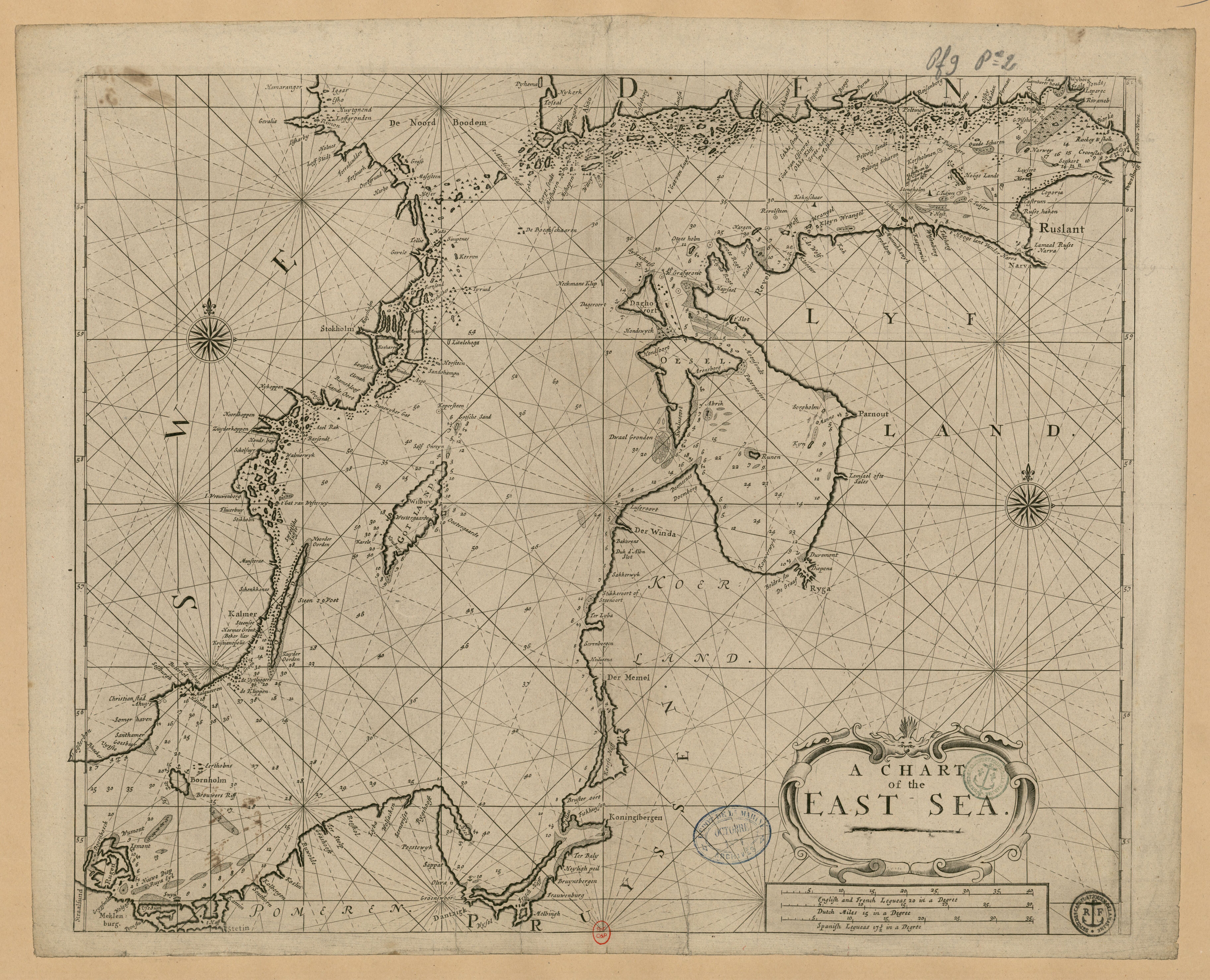
[edit]| A chart of the East sea
( |
|||||||||||||||||||||||||||
|---|---|---|---|---|---|---|---|---|---|---|---|---|---|---|---|---|---|---|---|---|---|---|---|---|---|---|---|
| Title |
A chart of the East sea |
||||||||||||||||||||||||||
| Description |
Français : Sujet : Baltique, Mer
Couverture : Océan Atlantique Nord Langue : anglais Éditeur : MOUNT and PAGE |
||||||||||||||||||||||||||
| Date | 18th century - 19th century | ||||||||||||||||||||||||||
| Dimensions | height: 59 cm (23.2 in); width: 48 cm (18.8 in) | ||||||||||||||||||||||||||
| Collection |
|
||||||||||||||||||||||||||
| References |
Français : Notice de recueil : http://catalogue.bnf.fr/ark:/12148/cb422227405
Appartient à : [Portefeuille 9 du Service hydrographique de la marine consacré à la Mer Baltique] ; 02 D Notice du catalogue : http://catalogue.bnf.fr/ark:/12148/cb42223476k |
||||||||||||||||||||||||||
| Source/Photographer |
Français : Collections BnF, GESH18PF9P2D
Bibliothèque nationale de France |
||||||||||||||||||||||||||
| Permission (Reusing this file) |
|
||||||||||||||||||||||||||

File history
Click on a date/time to view the file as it appeared at that time.
| Date/Time | Thumbnail | Dimensions | User | Comment | |
|---|---|---|---|---|---|
| current | 18:33, 21 August 2022 | | 7,296 × 5,912 (6.94 MB) | Gzen92Bot (talk | contribs) | Gallica btv1b59734976 |
You cannot overwrite this file.
File usage on Commons
The following page uses this file: