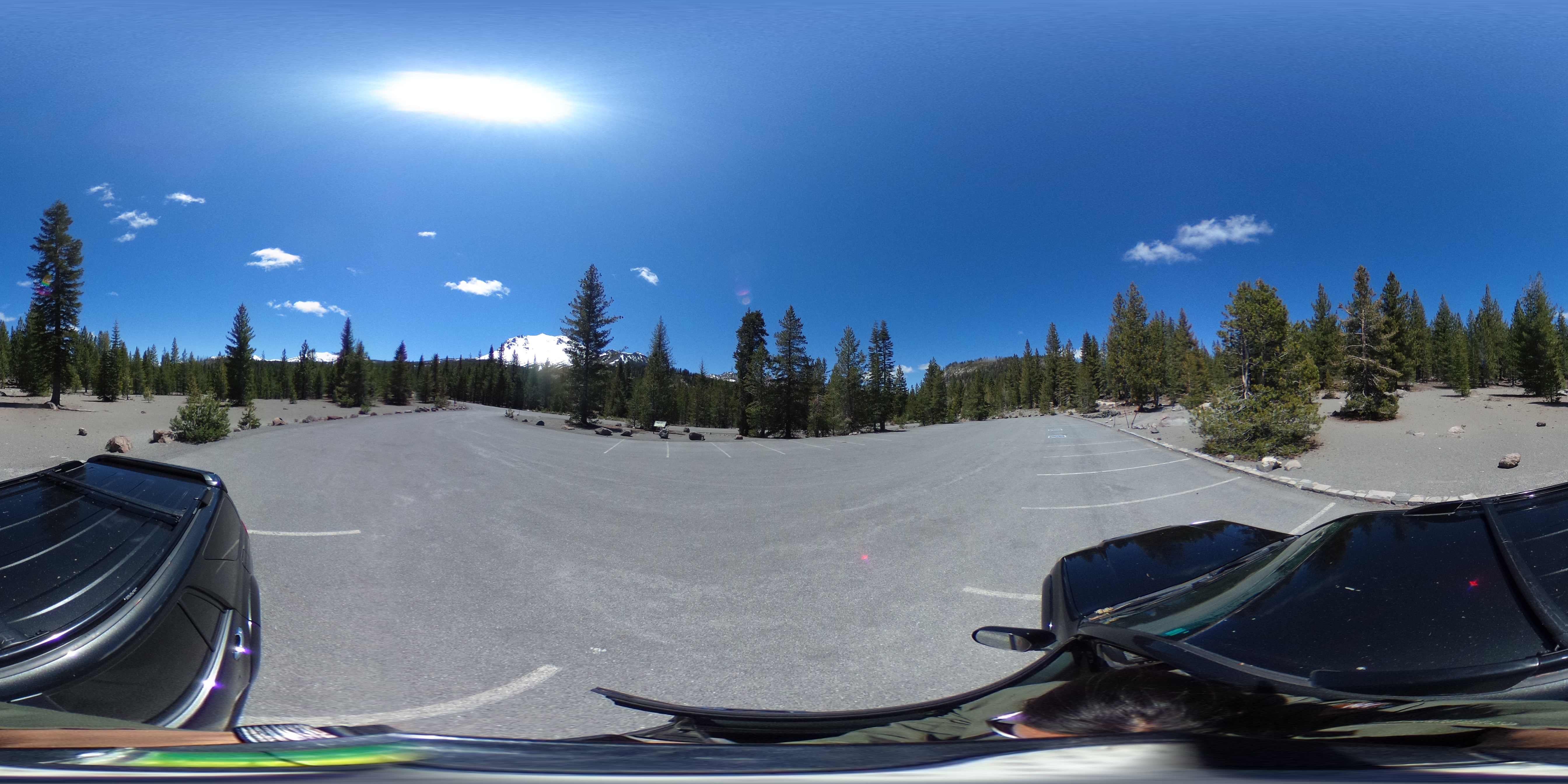
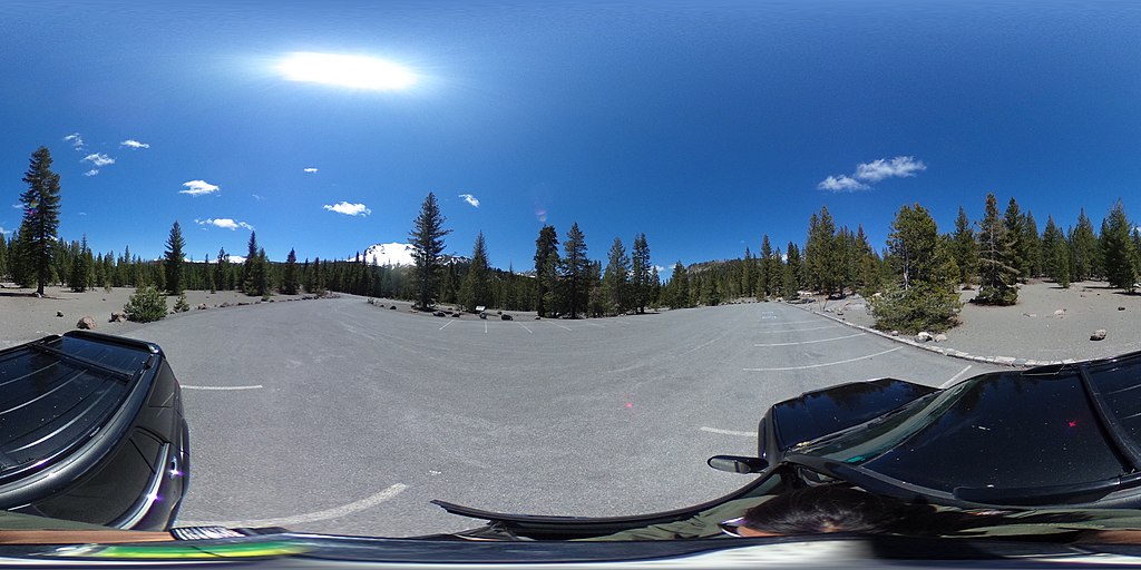
File:A 360-degree photo from Devastated parking area. (a9f99cc6-ab7f-47f0-858b-3042da651732).JPG
Jump to navigation
Jump to search
Size of this preview: 800 × 400 pixels. Other resolutions: 320 × 160 pixels | 640 × 320 pixels | 1,024 × 512 pixels | 1,280 × 640 pixels | 2,560 × 1,280 pixels | 5,376 × 2,688 pixels.
Original file (5,376 × 2,688 pixels, file size: 3.82 MB, MIME type: image/jpeg)
Captions
Captions
Add a one-line explanation of what this file represents
| 360° | View in 360° panoramic viewer
|
|---|
.JPG)
| Camera location | | View this and other nearby images on: OpenStreetMap |
|---|
.JPG¶ms=040.515464_N_-121.465014_E_globe:Earth_type:camera_alt:1938.45_source:exif_&language=en)
Summary
[edit].JPG&action=edit§ion=1)
| English: 360 Devastated Area | ||||
|---|---|---|---|---|
| Photographer |
English: Amanda Sweeney |
|||
| Title |
English: 360 Devastated Area |
|||
| Description |
English: A 360-degree photo of a parking area lined by green conifer trees. A large, snow-covered mountain rises in the distance. A 360-degree photo from Devastated parking area.
|
|||
| Depicted place |
English: Latitude: 40.5154638833333, Longitude: -121.465013883333, Elevation: 1938.45; Lassen Volcanic National Park, California; Latitude: 40.4861793518066, Longitude: -121.412101745605 |
|||
| Date | Taken on 22 May 2020 | |||
| Accession number | ||||
| Source |
English: NPGallery |
|||
| Permission (Reusing this file) |
|
|||
| Collector | English: Amanda Sweeney |
|||
| NPS Unit Code | LAVO | |||
File history
Click on a date/time to view the file as it appeared at that time.
| Date/Time | Thumbnail | Dimensions | User | Comment | |
|---|---|---|---|---|---|
| current | 21:40, 15 January 2022 | | 5,376 × 2,688 (3.82 MB) | BMacZeroBot (talk | contribs) | Batch upload (Commons:Batch uploading/NPGallery) |
You cannot overwrite this file.
File usage on Commons
The following 2 pages use this file:
.JPG)
.JPG&oldid=866769277)