File:AMH-5528-NA Map of the Soenda Straits.jpg
Jump to navigation
Jump to search
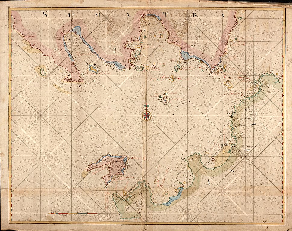
Size of this preview: 757 × 600 pixels. Other resolutions: 303 × 240 pixels | 606 × 480 pixels | 969 × 768 pixels | 1,280 × 1,014 pixels | 2,400 × 1,902 pixels.
Original file (2,400 × 1,902 pixels, file size: 875 KB, MIME type: image/jpeg)
Captions
Captions
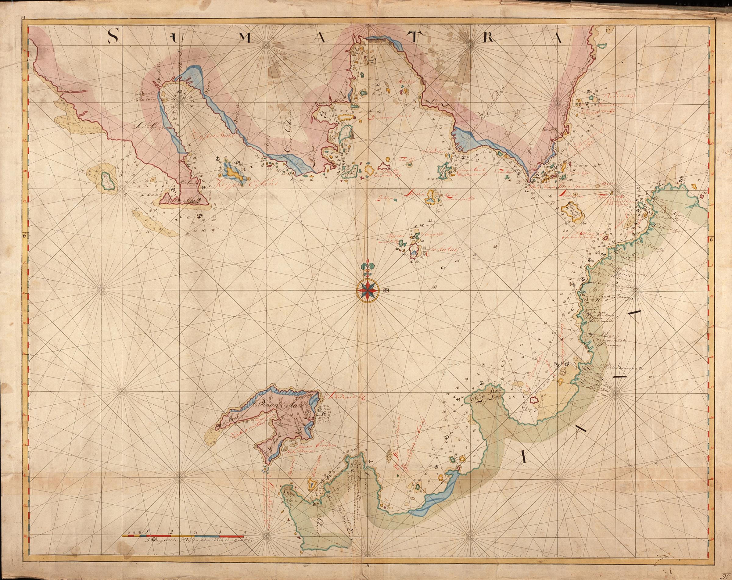
Map of the Soenda Straits
Summary
[edit]| Nederlands: Kaart van de Straat Soenda
English: Map of the Soenda Straits Bahasa Indonesia: Peta Selat Sunda( |
||||||||||||||||||||||||
|---|---|---|---|---|---|---|---|---|---|---|---|---|---|---|---|---|---|---|---|---|---|---|---|---|
| Author |
Nederlands: Anoniem / Anonymous (landmeter / kaartenmaker)
English: Anoniem / Anonymous (land surveyor / mapmaker) |
|||||||||||||||||||||||
| Title |
Nederlands: Kaart van de Straat Soenda
English: Map of the Soenda Straits
Bahasa Indonesia: Peta Selat Sunda |
|||||||||||||||||||||||
| Description |
Nederlands: Titel catalogus Leupe (NA): Kaart als voren, hiermee wordt bedoeld de titel van VEL0356: Kaart van Straat Soenda, van het Princen-Eyland tot den Hoek van Bantam.
De baai hier aangeduid met 'Keysers Bocht', werd ook wel de 'Bocht Samanca' genoemd.
English: Title in the Leupe catalogue (NA): Kaart als voren ('Chart as before') refers to the title of VEL0356: Kaart van Straat Soenda, van het Princen-Eyland tot den Hoek van Bantam.
The bay indicated here as 'Keysers Bocht', was also known as the 'Bocht Samanca'.
Bahasa Indonesia: Judul dalam katalog Leupe (AN): Kaart als voren ('Peta seperti sebelumnya') mengacu pada judul dari VEL0356: Kaart van Straat Soenda, van het Princen-Eyland tot den Hoek van Bantam.
Teluk yang ditunjukkan di sini sebagai 'Keysers Bocht', juga dikenal sebagai 'Bocht Samanca'. |
|||||||||||||||||||||||
| Date | between 1750 and 1800 | |||||||||||||||||||||||
| Medium |
Nederlands: ingekleurde tekening op papier
English: coloured drawing on paper
Bahasa Indonesia: gambar berwarna di atas kertas |
|||||||||||||||||||||||
| Dimensions | height: 95.5 cm (37.5 in); width: 75.5 cm (29.7 in) | |||||||||||||||||||||||
| Collection |
|
|||||||||||||||||||||||
| Accession number |
NL-HaNA_4.VEL_357 (old number: VEL0357) |
|||||||||||||||||||||||
| Inscriptions |
-
|
|||||||||||||||||||||||
| Notes |
English: Subjects: compass / dial, chart / map / plan
Nederlands: Onderwerpen: kompas / windroos, plattegrond / kaart |
|||||||||||||||||||||||
| Source/Photographer |
|
|||||||||||||||||||||||
| Permission (Reusing this file) |
|
|||||||||||||||||||||||

File history
Click on a date/time to view the file as it appeared at that time.
| Date/Time | Thumbnail | Dimensions | User | Comment | |
|---|---|---|---|---|---|
| current | 08:25, 11 June 2014 | | 2,400 × 1,902 (875 KB) | HuskyBot (talk | contribs) | == {{int:filedesc}} == {{Artwork |title = {{nl|1=Kaart van de Straat Soenda}} {{en|1=Map of the Soenda Straits}} |description = {{nl|1=Titel catalogus Leupe (NA): ''Kaart als voren'', hiermee wordt bedoeld de t... |
You cannot overwrite this file.
File usage on Commons
The following page uses this file:
File usage on other wikis
The following other wikis use this file:
- Usage on nl.wikipedia.org