File:AMH-4722-NA Map of part of the island of Neira, showing the forts Nassouw and Belgica.jpg
Jump to navigation
Jump to search

Size of this preview: 800 × 567 pixels. Other resolutions: 320 × 227 pixels | 640 × 453 pixels | 1,024 × 725 pixels | 1,280 × 907 pixels | 2,400 × 1,700 pixels.
Original file (2,400 × 1,700 pixels, file size: 594 KB, MIME type: image/jpeg)
Captions
Captions
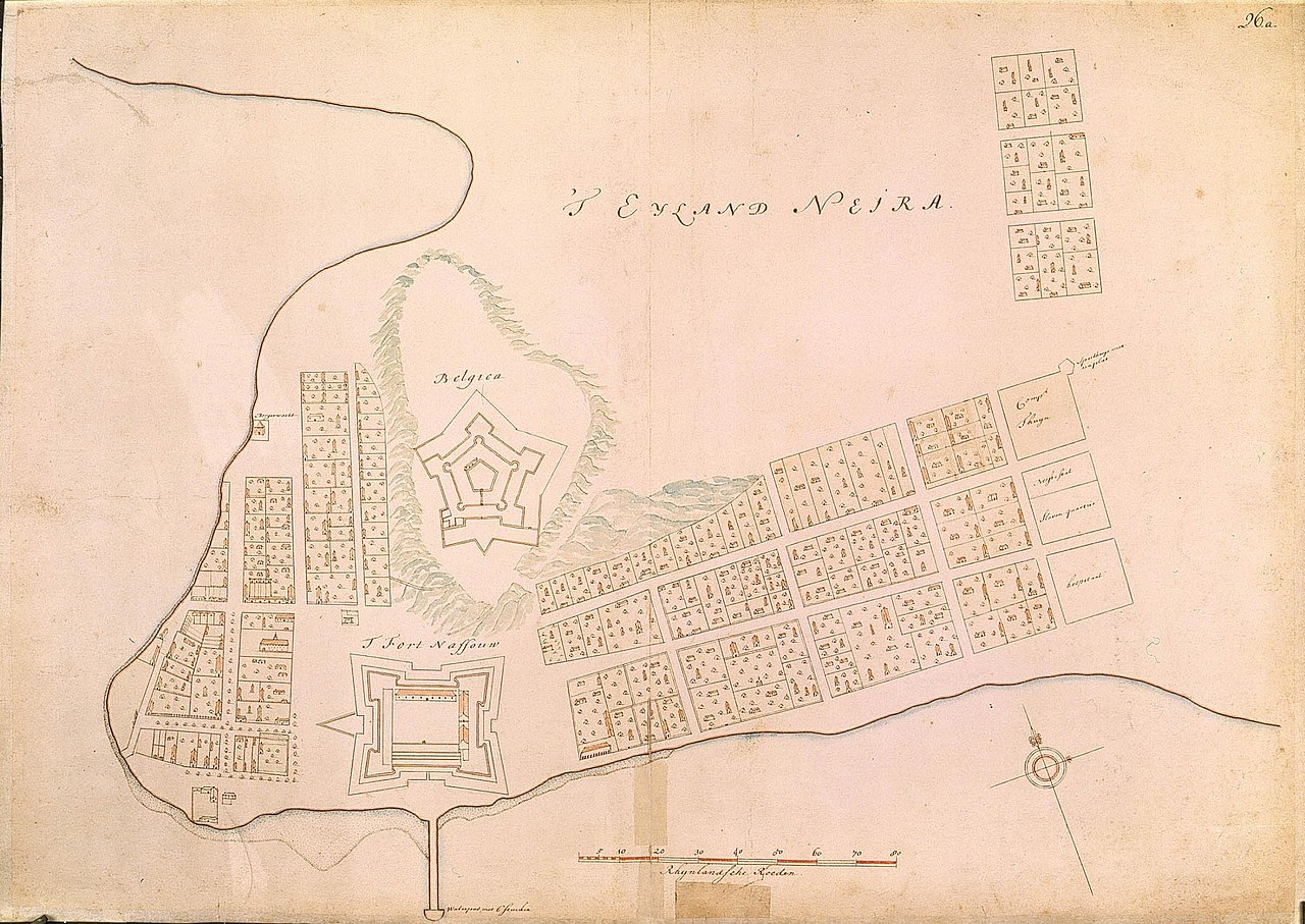
Map of part of the island of Neira, showing the forts Nassouw and Belgica
Summary
[edit]| Author |
Nederlands: Isaac de Graaff (landmeter / kaartenmaker)
English: Isaac de Graaff (land surveyor / mapmaker) |
|||||||||||||||||||||||||
| Title |
Nederlands: Plattegrond van een gedeelte van het eiland Neira, met de forten Nassouw en Belgica
English: Map of part of the island of Neira, showing the forts Nassouw and Belgica
Bahasa Indonesia: Peta bagian pulau Neira, menunjukkan benteng Nassouw dan Belgica |
|||||||||||||||||||||||||
| Description |
Nederlands: Titel catalogus Leupe (NA): Plan van een gedeelte van 't Eyland Neira, waarop 't fort Nassouw.
Rechts boven genummerd: 26.a. Notities verso: 664 p.English: According to the Leupe catalogue (NA), the original title reads: Plan van een gedeelte van 't Eyland Neira, waarop 't fort Nassouw.
Numbered top right: 26.a. Notes on reverse: 664 p.Bahasa Indonesia: Menurut katalog Leupe (NA), judul aslinya berbunyi: Plan van een gedeelte van 't Eyland Neira, waarop 't fort Nassouw.
Diberi nomor di kanan atas: 26.a. Catatan di belakang: 664 p. |
|||||||||||||||||||||||||
| Date | between 1690 and 1743 | |||||||||||||||||||||||||
| Medium |
Nederlands: ingekleurde tekening op papier
English: coloured drawing on paper
Bahasa Indonesia: gambar berwarna di atas kertas |
|||||||||||||||||||||||||
| Dimensions | height: 74 cm (29.1 in); width: 53 cm (20.8 in) | |||||||||||||||||||||||||
| Collection |
|
|||||||||||||||||||||||||
| Accession number |
NL-HaNA_4.VEL_1359 (old number: VEL1359) |
|||||||||||||||||||||||||
| Inscriptions |
't Eyland Neira
|
|||||||||||||||||||||||||
| Notes |
English: Subjects: chart / map / plan, fortification, compass / dial, estate / plantation, play house / society, hospital / lazaret, anchorage / pier / harbour
Nederlands: Onderwerpen: plattegrond / kaart, vesting, kompas / windroos, landerij / plantage, speelhuis / sociëteit, ziekenhuis / lazaret, rede / haven / pier
English: Fort: this image is related to a VOC fort called fort Neira Nassouw |
|||||||||||||||||||||||||
| Source/Photographer |
|
|||||||||||||||||||||||||
| Permission (Reusing this file) |
|
|||||||||||||||||||||||||

| Object location | | View this and other nearby images on: OpenStreetMap |
|---|
File history
Click on a date/time to view the file as it appeared at that time.
| Date/Time | Thumbnail | Dimensions | User | Comment | |
|---|---|---|---|---|---|
| current | 17:08, 10 June 2014 | | 2,400 × 1,700 (594 KB) | HuskyBot (talk | contribs) | == {{int:filedesc}} == {{Artwork |title = {{nl|1=Plattegrond van een gedeelte van het eiland Neira, met de forten Nassouw en Belgica}} {{en|1=Map of part of the island of Neira, showing the forts Nassouw and Belgica}}... |
You cannot overwrite this file.
File usage on Commons
The following page uses this file: