File:9493Santa Ines, Manaoag, Pangasinan 44.jpg
Jump to navigation
Jump to search

Size of this preview: 800 × 600 pixels. Other resolutions: 320 × 240 pixels | 640 × 480 pixels | 1,024 × 768 pixels | 1,280 × 960 pixels | 2,560 × 1,920 pixels | 4,608 × 3,456 pixels.
Original file (4,608 × 3,456 pixels, file size: 6.8 MB, MIME type: image/jpeg)
Captions
Captions
Add a one-line explanation of what this file represents
Summary
[edit]
| Description |
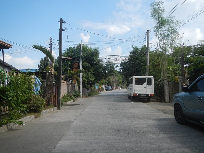
English: Santa Ines, Manaoag, Pangasinan Doña Consolacion Santa Maria Elementary School Santa Ines farm-to-market road Cabilaoan, Laoac, Pangasinan Paddy fields in Laoac, Pangasinan Cabilaoan-Nanbagatan farm-to-market road Nanbagatan, Laoac, Pangasinan Anis-Caaringayan-Nanbagatan local access road 565.30 meters P 4.415 million cost 5-6.1 meters wide and 0.20 meters thick Chapel of Nanbagatan, Laoac Caaringayan, Laoac, Pangasinan Sitios, puroks and zones I-VII of Caaringayan, Laoac, Pangasinan Anis-Caaringayan-Nanbagatan local access road Sitios, puroks and zones I-VII of Anis, Laoac, Pangasinan Sitios, puroks and zones I-VII of D Alarcio, Laoac, Pangasinan Category:Sitios and puroks of the Philippines Subdivisions of the Philippines List of barangays in Pangasinan, Barangays of Pangasinan, Barangay Santa Ines, Manaoag, Pangasinan 16.0275, 120.5236 Manaoag, Pangasinan, Pangasinan Province bounded by Category:Sitios and puroks of the Philippines Subdivisions of the Philippines List of barangays in Pangasinan, Barangays of Pangasinan, Barangays Cabilaoan, Laoac, Pangasinan 16.0216, 120.5418 Nanbagatan, Laoac, Pangasinan 16.0385, 120.5321 Caaringayan, Laoac, Pangasinan 16.0381, 120.5499 Anis, Laoac, Pangasinan 16.0353, 120.5593 Laoac, Pangasinan from MacArthur Highway or Manila North Road MacArthur Highway (Urdaneta, Pangasinan) Philippine highway network (Note: Judge Florentino Floro, the owner, to repeat, Donor Florentino Floro of all these photos hereby donate gratuitously, freely and unconditionally Judge Floro all these photos to and for Wikimedia Commons, exclusively, for public use of the public domain, and again without any condition whatsoever). |
| Date | |
| Source | Own work |
| Author | Judgefloro |
| Camera location | | View this and other nearby images on: OpenStreetMap |
|---|
Santa Ines, Manaoag, Pangasinan 16.0275, 120.5236
Licensing
[edit]
I, the copyright holder of this work, hereby publish it under the following license:
| This file is made available under the Creative Commons CC0 1.0 Universal Public Domain Dedication. | |
| The person who associated a work with this deed has dedicated the work to the public domain by waiving all of their rights to the work worldwide under copyright law, including all related and neighboring rights, to the extent allowed by law. You can copy, modify, distribute and perform the work, even for commercial purposes, all without asking permission.
|
File history
Click on a date/time to view the file as it appeared at that time.
| Date/Time | Thumbnail | Dimensions | User | Comment | |
|---|---|---|---|---|---|
| current | 07:40, 19 January 2020 | | 4,608 × 3,456 (6.8 MB) | Judgefloro (talk | contribs) | User created page with UploadWizard |
You cannot overwrite this file.
File usage on Commons
There are no pages that use this file.