File:9114Bayambang Bautista Pangasinan Boundary 10.jpg
Jump to navigation
Jump to search

Size of this preview: 800 × 600 pixels. Other resolutions: 320 × 240 pixels | 640 × 480 pixels | 1,024 × 768 pixels | 1,280 × 960 pixels | 2,560 × 1,920 pixels | 4,608 × 3,456 pixels.
Original file (4,608 × 3,456 pixels, file size: 5.77 MB, MIME type: image/jpeg)
Captions
Captions
Bayambang Bautista Pangasinan Boundary
Summary
[edit]
| Description |
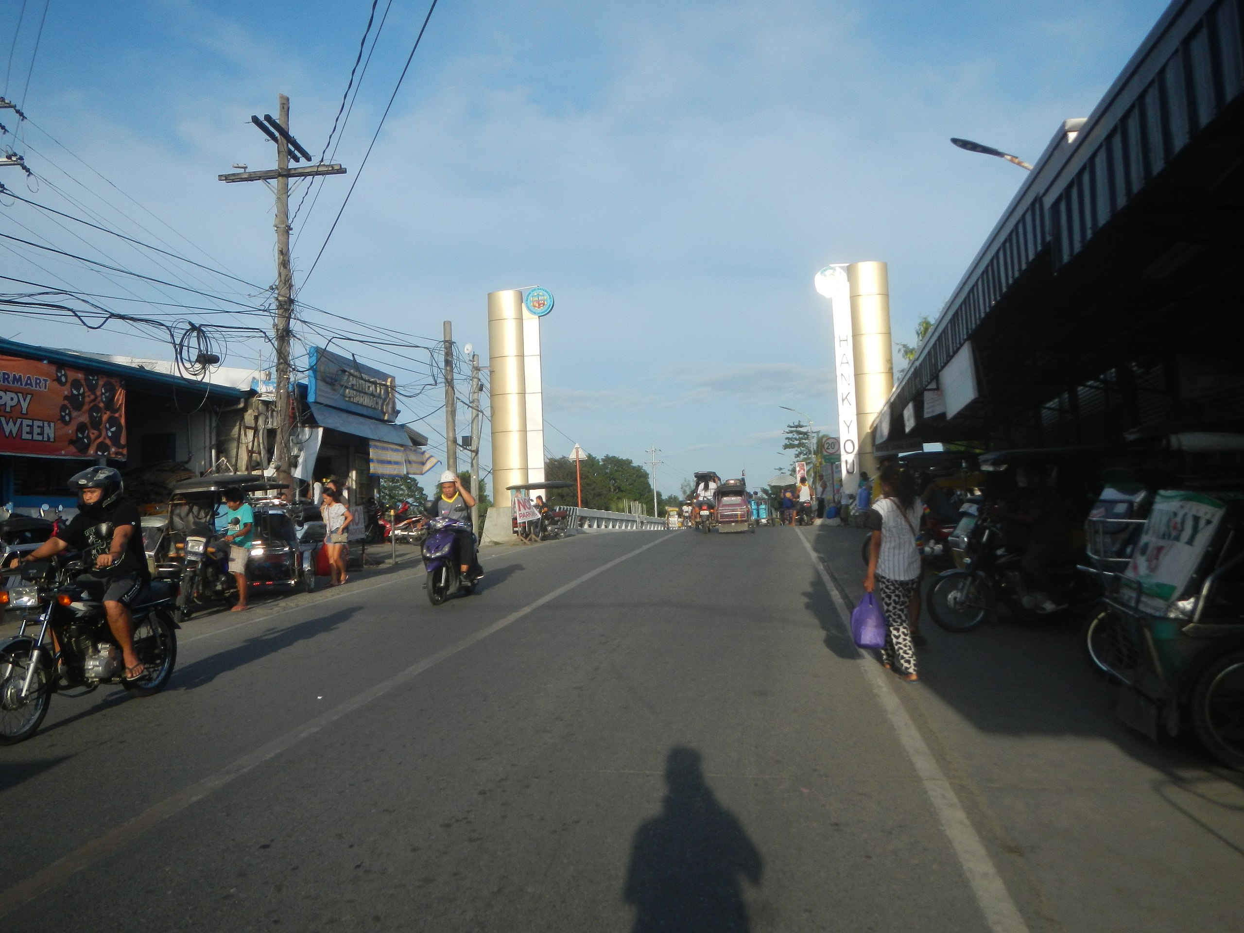
English: Carmen Junction-Bayambang-Manat Road Welcome-border signs of Bayambang (Zone 1) from Bautista (Nibaliw Sur and Nibaliw Norte), Pangasinan Royal Mall Bayambang Puregold, Jr. Bayambang 167 Hypermart Consumers M-Mart Addessa Bayambang CSI Bayambang Agno River (Bayambang) Bayambang Agno River Retrofitting-strengthening of Calvo Bridge 20 Tons load limit K0 192+ -682 P 13.570 million Calvo Bridge (Bautista) 15°48'35"N 120°27'31"E “hybrid hydromet” water level sensor and an automatic rain gauge Agno River Flood Control System’s Retrofitting Category:Sitios and puroks of the Philippines Subdivisions of the Philippines List of barangays in Pangasinan, Barangays Zones I, II, III, IV, V, VI and VII, Bayambang, Pangasinan 15.8076, 120.4644 Bayambang, Pangasinan along Carmen Junction-Manat Road, KM 172+(-289) - KM 189+250 Barangays Carmen East and Carmen West, Carmen East 15°53'0"N 120°36'18"E Rosales, Pangasinan, Camiling, Tarlac-Bayambang, Malasiqui and San Carlos City, Pangasinan Provincial Road Calasiao, Pangasinan Bayambang, Pangasinan - Malasiqui, Pangasinan - San Carlos City, Pangasinan from Bautista-Alcala Road (Bautista) to Bautista-Alcala Road (Alcala) Bautista-Alcala Road (Bautista) Barangays Nibaliw Norte, Bautista, Pangasinan Nibaliw Sur, Bautista, Pangasinan Santo Tomas-Alcala Highway Latitude: 15°51'39" Longitude: 120°33'33.79" Category:Sitios and puroks of the Philippines Subdivisions of the Philippines List of barangays in Pangasinan, Barangays Nibaliw Norte, Bautista, Pangasinan 15.8173, 120.4687 Nibaliw Sur, Bautista, Pangasinan 15.8120, 120.4703 Bautista, Pangasinan, Pangasinan Province bounded by Alcala, Pangasinan, Pangasinan Province from or along the MacArthur Highway or Manila North Road Philippine highway network (Note: Judge Florentino Floro, the owner, to repeat, Donor Florentino Floro of all these photos hereby donate gratuitously, freely and unconditionally Judge Floro all these photos to and for Wikimedia Commons, exclusively, for public use of the public domain, and again without any condition whatsoever). |
| Date | |
| Source | Own work |
| Author | Judgefloro |
| Camera location | | View this and other nearby images on: OpenStreetMap |
|---|
Zones I, II, III, IV, V, VI and VII, Bayambang, Pangasinan 15.8076, 120.4644
Licensing
[edit]
I, the copyright holder of this work, hereby publish it under the following license:
| This file is made available under the Creative Commons CC0 1.0 Universal Public Domain Dedication. | |
| The person who associated a work with this deed has dedicated the work to the public domain by waiving all of their rights to the work worldwide under copyright law, including all related and neighboring rights, to the extent allowed by law. You can copy, modify, distribute and perform the work, even for commercial purposes, all without asking permission.
|
File history
Click on a date/time to view the file as it appeared at that time.
| Date/Time | Thumbnail | Dimensions | User | Comment | |
|---|---|---|---|---|---|
| current | 10:48, 18 November 2019 | | 4,608 × 3,456 (5.77 MB) | Judgefloro (talk | contribs) | User created page with UploadWizard |
You cannot overwrite this file.
File usage on Commons
There are no pages that use this file.