File:7194Barangays of Bautista, Pangasinan 18.jpg
Jump to navigation
Jump to search

Size of this preview: 800 × 600 pixels. Other resolutions: 320 × 240 pixels | 640 × 480 pixels | 1,024 × 768 pixels | 1,280 × 960 pixels | 2,560 × 1,920 pixels | 4,608 × 3,456 pixels.
Original file (4,608 × 3,456 pixels, file size: 6.57 MB, MIME type: image/jpeg)
Captions
Captions
Barangays of Bautista, Pangasinan
Summary
[edit]
| Description |
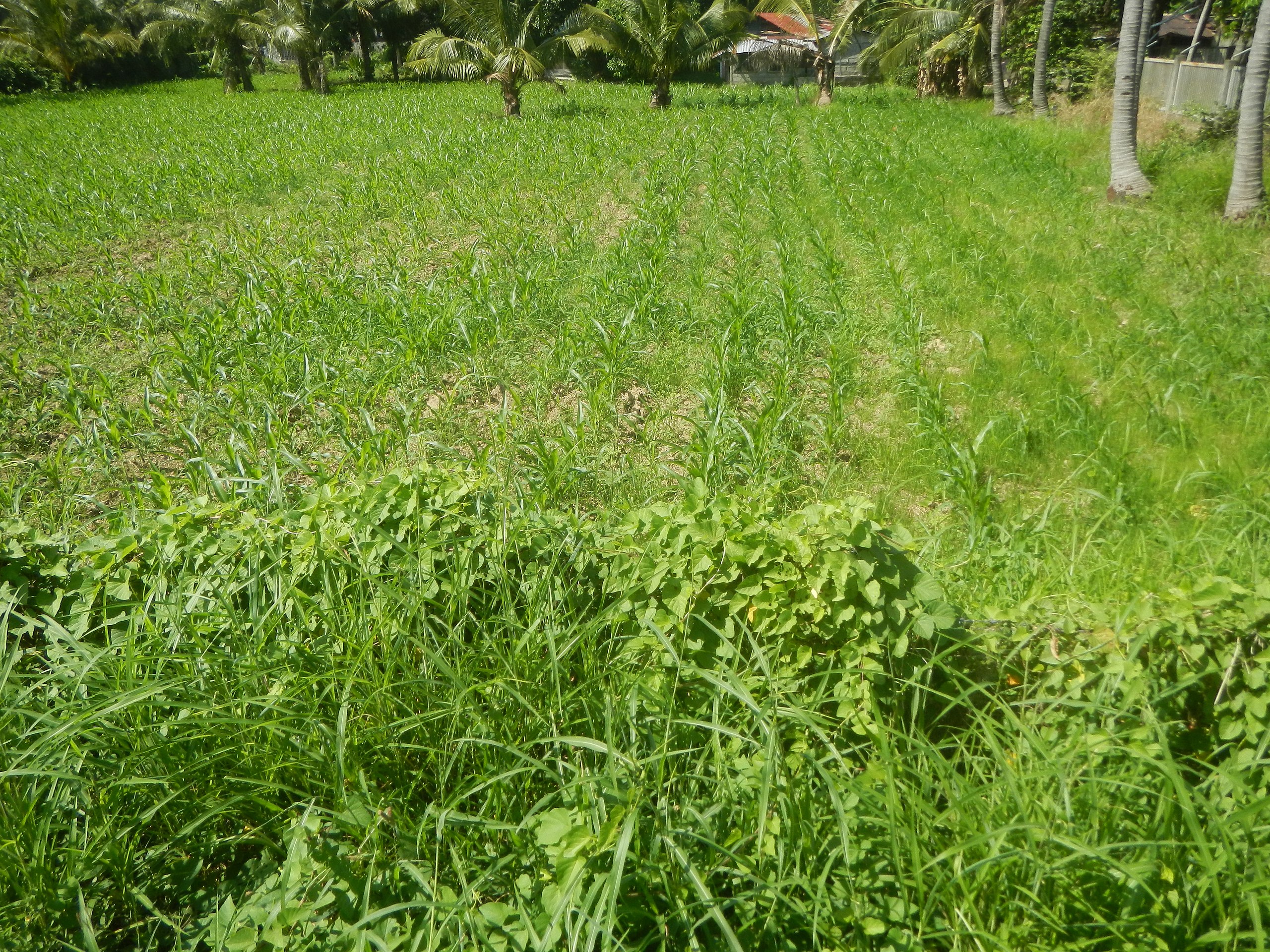
English: Welcome arch-signs of Alcala (Anulid) in Bautista (Cacandongan and Ketegan), Pangasinan Cacandongan, Bautista, Pangasinan Maize fields in Bautista, Pangasinan Bautista-Alcala Road (Bautista) Ketegan, Bautista, Pangasinan Bongato East, Bayambang, Pangasinan Construction of core local access road Welcome arch-signs of Bayambang (Bongato East) from Bautista (Ketegan and ), Pangasinan Bongato East Elementary School, Bayambang
Carmen Junction-Manat Road, KM 172+(-289) - KM 189+250 Barangays Carmen East and Carmen West, Carmen East 15°53'0"N 120°36'18"E Rosales, Pangasinan, Camiling, Tarlac-Bayambang, Malasiqui and San Carlos City, Pangasinan Provincial Road Calasiao, Pangasinan Bayambang, Pangasinan- Malasiqui, Pangasinan - San Carlos City, Pangasinan Bautista-Alcala Road (Bautista) to Bautista-Alcala Road (Alcala) from Santo Tomas-Alcala Highway Latitude: 15°51'39" Longitude: 120°33'33.79" Category:Sitios and puroks of the Philippines Subdivisions of the Philippines List of barangays in Pangasinan, Barangays Cacandongan, Bautista, Pangasinan 15.8288, 120.4901 Ketegan, Bautista, Pangasinan 15.8241, 120.4940 Nandacan, Bautista, Pangasinan 15.8182, 120.4871 Poblacion East, Bautista, Pangasinan 15.8138, 120.4872 Poblacion West, Bautista, Pangasinan 15.8140, 120.4762 Bautista, Pangasinan, Pangasinan Province bounded by Alcala, Pangasinan, Pangasinan Province bounded by Barangay Anulid, Alcala, Pangasinan 15.8448, 120.5023 Alcala, Pangasinan, Pangasinan Province bounded by Category:Sitios and puroks of the Philippines Subdivisions of the Philippines List of barangays in Pangasinan, Barangay Bongato East, Bayambang, Pangasinan 15.8261, 120.4849 Bayambang, Pangasinan from or along the MacArthur Highway or Manila North Road Philippine highway network (Note: Judge Florentino Floro, the owner, to repeat, Donor Florentino Floro of all these photos hereby donate gratuitously, freely and unconditionally Judge Floro all these photos to and for Wikimedia Commons, exclusively, for public use of the public domain, and again without any condition whatsoever). |
| Date | |
| Source | Own work |
| Author | Judgefloro |
| Camera location | | View this and other nearby images on: OpenStreetMap |
|---|
Ketegan, Bautista, Pangasinan 15.8241, 120.4940
Licensing
[edit]
I, the copyright holder of this work, hereby publish it under the following license:
| This file is made available under the Creative Commons CC0 1.0 Universal Public Domain Dedication. | |
| The person who associated a work with this deed has dedicated the work to the public domain by waiving all of their rights to the work worldwide under copyright law, including all related and neighboring rights, to the extent allowed by law. You can copy, modify, distribute and perform the work, even for commercial purposes, all without asking permission.
|
File history
Click on a date/time to view the file as it appeared at that time.
| Date/Time | Thumbnail | Dimensions | User | Comment | |
|---|---|---|---|---|---|
| current | 06:35, 19 November 2019 | | 4,608 × 3,456 (6.57 MB) | Judgefloro (talk | contribs) | User created page with UploadWizard |
You cannot overwrite this file.
File usage on Commons
There are no pages that use this file.