File:70-Haute-Saône-carte-A1.jpg
Jump to navigation
Jump to search
No higher resolution available.
70-Haute-Saône-carte-A1.jpg (666 × 483 pixels, file size: 118 KB, MIME type: image/jpeg)
Captions
Captions
Add a one-line explanation of what this file represents
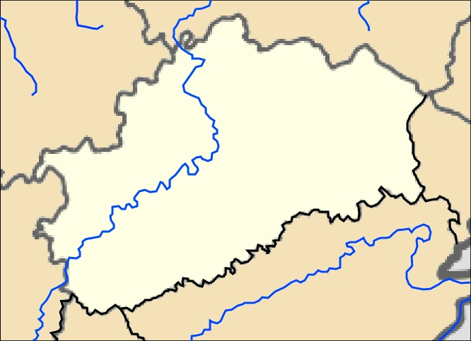
- Carte 70 Haute-Saône Administrative
- fr:Modèle:Géolocalisation/Haute-Saône
- Source:Découpe carte France User:Sting
- Auteur:Wikisoft* @@@-fr 08:11, 7 December 2012 (UTC)
- Autre version:

- Projection equirectangulaire
- top:48.0625
- bottom:47.1875
- left:5.25
- right:7.00

- licence:
The map has been created with the Generic Mapping Tools: https://www.generic-mapping-tools.org/ using one or more of these public-domain datasets for the relief:
|

|
Permission is granted to copy, distribute and/or modify this document under the terms of the GNU Free Documentation License, Version 1.2 or any later version published by the Free Software Foundation; with no Invariant Sections, no Front-Cover Texts, and no Back-Cover Texts. A copy of the license is included in the section entitled GNU Free Documentation License. |
File history
Click on a date/time to view the file as it appeared at that time.
| Date/Time | Thumbnail | Dimensions | User | Comment | |
|---|---|---|---|---|---|
| current | 08:11, 7 December 2012 | | 666 × 483 (118 KB) | Wikisoft* (talk | contribs) | *Carte 70 Haute-Saône Administrative *fr:Modèle:Géolocalisation/Haute-Saône *Source:Découpe carte France User:Sting *Auteur:~~~~ *Category:Haute-Saône *Projection equirectangulaire *top:47.6875 *bottom:47.1875 *left:5.50 *right:7... |
You cannot overwrite this file.
File usage on Commons
The following page uses this file:
File usage on other wikis
The following other wikis use this file:
- Usage on eu.wikipedia.org
- Usage on ru.wikipedia.org
- Амаж
- Моле (Верхняя Сона)
- Шовире-ле-Вьей
- Ла-Рошель (Верхняя Сона)
- Бетонкур-сюр-Манс
- Ла-Карт (Франция)
- Шарм-Сен-Вальбер
- Мальвиллер
- Розьер-сюр-Манс
- Пренье
- Лавинье
- Сентре (Верхняя Сона)
- Сен-Марсель (Верхняя Сона)
- Монтиньи-ле-Шерльё
- Шовире-ле-Шатель
- Вернуа-сюр-Манс
- Уж (Верхняя Сона)
- Ла-Рош-Море
- Витре-сюр-Манс
- Шевинье
- Арсан (Верхняя Сона)
- Монтанье (коммуна)
- Малан (Верхняя Сона)
- Вале (Верхняя Сона)
- Вадан (Верхняя Сона)
- Льёкур
- Моте-Безюш
- Шансе (Верхняя Сона)
- Бар-ле-Пем
- Ла-Гранд-Рези
- Шомерсен
- Брезийе
- Ла-Рези-Сен-Мартен
- Венер (Франция)
- Совинье-ле-Пем
- Бруа-Обинье-Монсёньи
- Пем
- Кальмутье
- Виллер-ле-Сек (Верхняя Сона)
- Боре (Верхняя Сона)
- Коломбот
- Ла-Деми
- Данвалле-ле-Коломб
- Льеван
- Монжюстен-э-Велот
- Отре-ле-Сер
- Сер-ле-Норуа
- Валлеруа-Лорио
- Валлеруа-ле-Буа
View more global usage of this file.