File:66605 , North Wingfield.jpg
Jump to navigation
Jump to search

Size of this preview: 491 × 600 pixels. Other resolutions: 196 × 240 pixels | 393 × 480 pixels | 628 × 768 pixels | 838 × 1,024 pixels | 1,676 × 2,048 pixels | 3,697 × 4,517 pixels.
Original file (3,697 × 4,517 pixels, file size: 3.07 MB, MIME type: image/jpeg)
Captions
Captions
Add a one-line explanation of what this file represents
Summary
[edit]
| Description |
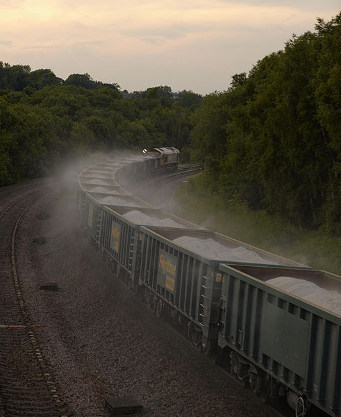
66605 passes North Wingfield working 6Z88 Middleton Towers - Ellesmere Port sand I wonder how much of the load will have been lost by time it reaches Ellesmere Port |
| Date | |
| Source | Load distribution? 66605 , North Wingfield |
| Author | Phil Sangwell from United Kingdom |
| Camera location | | View this and other nearby images on: OpenStreetMap |
|---|
Licensing
[edit]
This file is licensed under the Creative Commons Attribution 2.0 Generic license.
- You are free:
- to share – to copy, distribute and transmit the work
- to remix – to adapt the work
- Under the following conditions:
- attribution – You must give appropriate credit, provide a link to the license, and indicate if changes were made. You may do so in any reasonable manner, but not in any way that suggests the licensor endorses you or your use.
| This image, originally posted to Flickr, was reviewed on June 15, 2011 by the administrator or reviewer File Upload Bot (Magnus Manske), who confirmed that it was available on Flickr under the stated license on that date. |
File history
Click on a date/time to view the file as it appeared at that time.
| Date/Time | Thumbnail | Dimensions | User | Comment | |
|---|---|---|---|---|---|
| current | 16:47, 15 June 2011 | | 3,697 × 4,517 (3.07 MB) | File Upload Bot (Magnus Manske) (talk | contribs) | {{Information |Description=66605 passes North Wingfield working 6Z88 Middleton Towers - Ellesmere Port sand I wonder how much of the load will have been lost by time it reaches Ellesmere Port |Source=[http://www.flickr.com/photos/onemananhisdog/5833999554 |
You cannot overwrite this file.
File usage on Commons
There are no pages that use this file.