File:65295-Luz-Saint-Sauveur-Géologie.png
Jump to navigation
Jump to search

Size of this preview: 800 × 566 pixels. Other resolutions: 320 × 226 pixels | 640 × 453 pixels | 1,024 × 724 pixels | 1,280 × 905 pixels | 2,560 × 1,810 pixels | 7,015 × 4,960 pixels.
Original file (7,015 × 4,960 pixels, file size: 8.97 MB, MIME type: image/png)
Captions
Captions
Add a one-line explanation of what this file represents
Summary
[edit]
| Description |
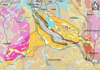
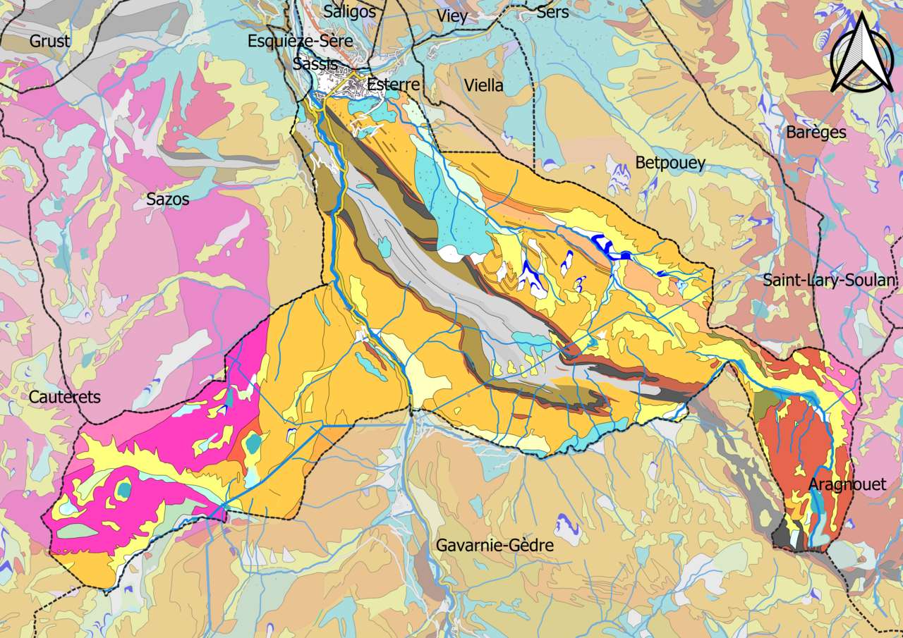
Français : Carte géologique de la commune de Luz-Saint-Sauveur dans le département des Hautes-Pyrénées (France) |
| Date | |
| Source |
Own work. Sources des données : * Découpage administratif communal et départemental : Export simple de janvier 2020 - vérifié et simplifié à 5 m sur le site du portail de données libres du gouvernement français, élaboré avec le concours des contributeurs à OpenStreetMap. * Infrastructures (routes, fer, bâtiments) : : Export openstreetmap de Geofabrik. * Cours d'eau : Cours d'eau - Métropole 2014 - BD Carthage. * Géologie : cartes géologiques départementales à 1/50 000 (Bd Charm-50). Assemblé et enrichi dans fr:QGis. |
| Author | Poudou99 |
Licensing
[edit]
I, the copyright holder of this work, hereby publish it under the following license:
This file is licensed under the Creative Commons Attribution-Share Alike 4.0 International license.
- You are free:
- to share – to copy, distribute and transmit the work
- to remix – to adapt the work
- Under the following conditions:
- attribution – You must give appropriate credit, provide a link to the license, and indicate if changes were made. You may do so in any reasonable manner, but not in any way that suggests the licensor endorses you or your use.
- share alike – If you remix, transform, or build upon the material, you must distribute your contributions under the same or compatible license as the original.
File history
Click on a date/time to view the file as it appeared at that time.
| Date/Time | Thumbnail | Dimensions | User | Comment | |
|---|---|---|---|---|---|
| current | 13:02, 28 December 2020 | | 7,015 × 4,960 (8.97 MB) | Poudou99 (talk | contribs) | pattypan 20.04 |
You cannot overwrite this file.
File usage on Commons
The following page uses this file:
Categories:
- Geological maps of Luz-Saint-Sauveur
- Geological maps of Hautes-Pyrénées - bedrock geology
- Geological maps of Hautes-Pyrénées - magmatism
- Geological maps of Viella (Hautes-Pyrénées)
- Geological maps of Betpouey
- Geological maps of Esterre
- Geological maps of Sazos (Hautes-Pyrénées)
- Geological maps of Cauterets
- Geological maps of Gavarnie-Gèdre (Hautes-Pyrénées)
- Geological maps of Aragnouet
- Geological maps of Saint-Lary-Soulan
- Geological maps of Barèges
- Geological maps of Viey