File:413 and 489 series at Toyama Station 20080527.jpg
Jump to navigation
Jump to search

Size of this preview: 800 × 535 pixels. Other resolutions: 320 × 214 pixels | 640 × 428 pixels | 1,024 × 685 pixels | 1,280 × 856 pixels | 2,048 × 1,370 pixels.
Original file (2,048 × 1,370 pixels, file size: 443 KB, MIME type: image/jpeg)
Captions
Captions
Add a one-line explanation of what this file represents
Summary
[edit]
| Description |
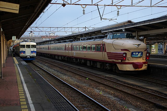
日本語: 原著作者のコメント:「急行能登。がらがらだ。」 |
| Date | |
| Source | Express "Noto" @ Toyama station |
| Author | tsuda |
| Camera location | | View this and other nearby images on: OpenStreetMap |
|---|
Licensing
[edit]
This file is licensed under the Creative Commons Attribution-Share Alike 2.0 Generic license.
- You are free:
- to share – to copy, distribute and transmit the work
- to remix – to adapt the work
- Under the following conditions:
- attribution – You must give appropriate credit, provide a link to the license, and indicate if changes were made. You may do so in any reasonable manner, but not in any way that suggests the licensor endorses you or your use.
- share alike – If you remix, transform, or build upon the material, you must distribute your contributions under the same or compatible license as the original.
| This image was originally posted to Flickr by tsuda at https://flickr.com/photos/68701696@N00/2527397815. It was reviewed on 8 February 2017 by FlickreviewR and was confirmed to be licensed under the terms of the cc-by-sa-2.0. |
File history
Click on a date/time to view the file as it appeared at that time.
| Date/Time | Thumbnail | Dimensions | User | Comment | |
|---|---|---|---|---|---|
| current | 11:38, 8 February 2017 | | 2,048 × 1,370 (443 KB) | 赤座 (talk | contribs) | User created page with UploadWizard |
You cannot overwrite this file.
File usage on Commons
The following 6 pages use this file:
- User:Chumwa/OgreBot/Potential transport maps/2017 February 1-9
- User:Chumwa/OgreBot/Public transport information/2017 February 1-9
- User:Chumwa/OgreBot/Transport Maps/2017 February 1-9
- User:Chumwa/OgreBot/Travel and communication maps/2017 February 1-9
- User:콩가루/일본철도/2017 February
- File:Toyama Station - flicker(2).jpg (file redirect)
.jpg&redirect=no)