File:3-D Building on Google Map - panoramio.jpg
Jump to navigation
Jump to search
No higher resolution available.
3-D_Building_on_Google_Map_-_panoramio.jpg (640 × 480 pixels, file size: 149 KB, MIME type: image/jpeg)
Captions
Captions
Add a one-line explanation of what this file represents
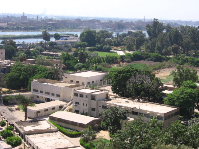
| Description | 3-D Building on Google Map | ||
| Date | Taken on 1 August 2009 | ||
| Source | https://web.archive.org/web/20161031163003/http://www.panoramio.com/photo/25129537 | ||
| Author | Mona | ||
| Permission (Reusing this file) |
This file is licensed under the Creative Commons Attribution 3.0 Unported license. Attribution: Mona
|
| Camera location | | View this and other nearby images on: OpenStreetMap |
|---|
File history
Click on a date/time to view the file as it appeared at that time.
| Date/Time | Thumbnail | Dimensions | User | Comment | |
|---|---|---|---|---|---|
| current | 16:25, 31 October 2016 | | 640 × 480 (149 KB) | Panoramio upload bot (talk | contribs) | {{Information |description=3-D Building on Google Map |date={{Taken on|2009-08-01}} |source=http://www.panoramio.com/photo/25129537 |author=[http://www.panoramio.com/user/3428804?with_photo_id=25129537 Mona] |permission={{cc-by-3.0|Mona}} {{Panoramiore... |
You cannot overwrite this file.
File usage on Commons
The following page uses this file:
File usage on other wikis
The following other wikis use this file:
- Usage on ar.wikipedia.org
- Usage on arz.wikipedia.org
- Usage on az.wikipedia.org
- Usage on be.wikipedia.org
- Usage on bg.wikipedia.org
- Usage on ceb.wikipedia.org
- Usage on ce.wikipedia.org
- Usage on cs.wikipedia.org
- Usage on cy.wikipedia.org
- Usage on de.wikivoyage.org
- Usage on el.wikipedia.org
- Usage on en.wikipedia.org
- Usage on eo.wikipedia.org
- Usage on es.wikipedia.org
- Usage on eu.wikipedia.org
- Usage on ka.wikipedia.org
- Usage on mk.wikipedia.org
- Usage on no.wikipedia.org
- Usage on pl.wikipedia.org
- Usage on ru.wikipedia.org
- Usage on si.wikipedia.org
- Usage on sk.wikipedia.org
- Usage on sr.wikipedia.org
- Usage on tg.wikipedia.org
- Usage on tr.wikipedia.org
- Usage on tum.wikipedia.org
- Usage on uk.wikipedia.org
- Usage on ur.wikipedia.org
- Usage on uz.wikipedia.org
- Usage on www.wikidata.org