File:2778Alinggan Banaban Duera Pangasinan 06.jpg
Jump to navigation
Jump to search
Size of this preview: 800 × 600 pixels. Other resolutions: 320 × 240 pixels | 640 × 480 pixels | 1,024 × 768 pixels | 1,280 × 960 pixels | 2,560 × 1,920 pixels | 4,608 × 3,456 pixels.
Original file (4,608 × 3,456 pixels, file size: 6.24 MB, MIME type: image/jpeg)
Captions
Captions
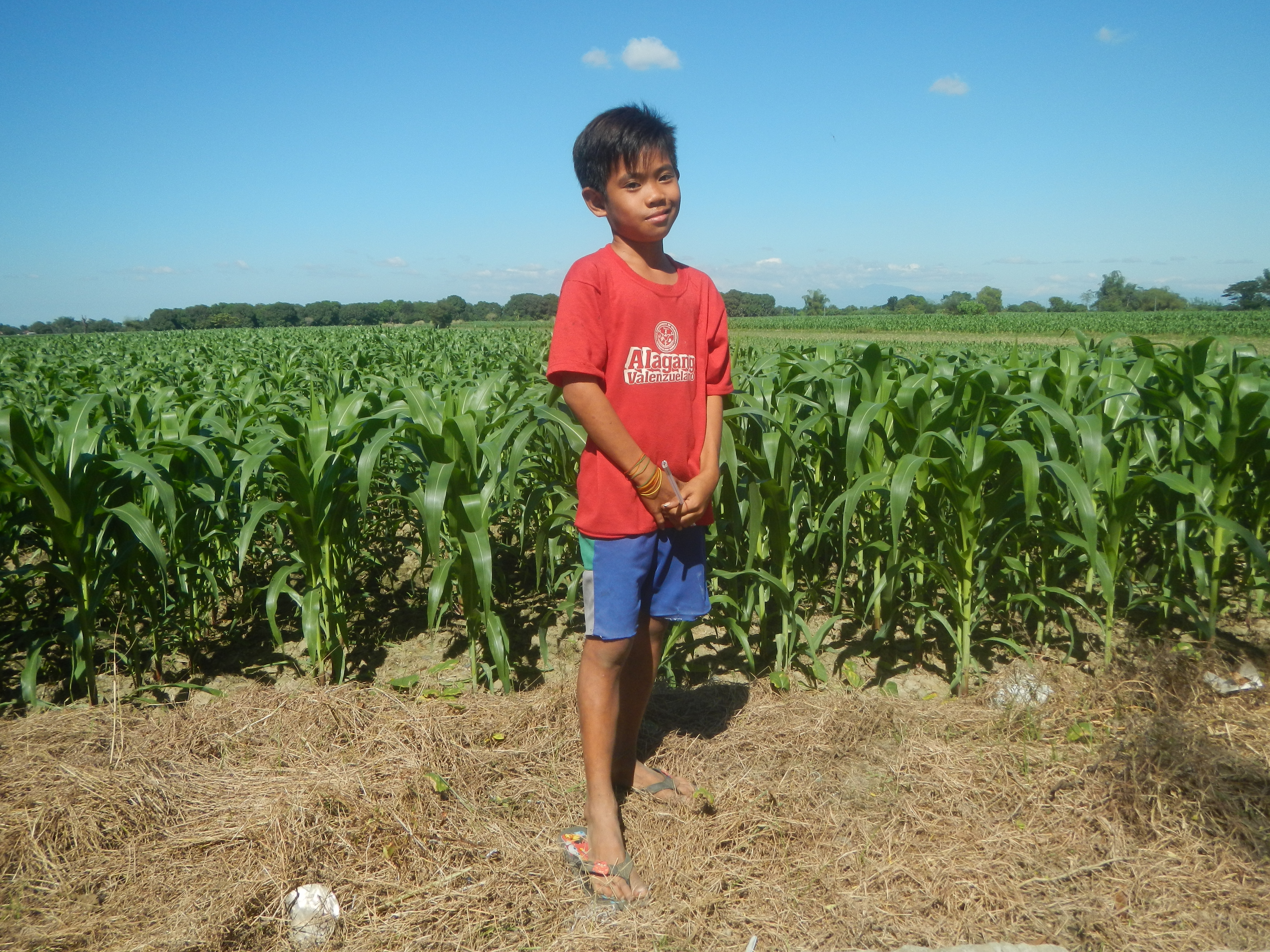
Alinggan Banaban Duera Pangasinan
Summary
[edit]
| Description |
English: Duera, Bayambang, Pangasinan Banaban, Bayambang, Pangasinan Alinggan, Bayambang, Pangasinan Malimpec, Bayambang, Pangasinan from or along Bayambang-Basista-San Carlos Road (Bayambang) Maize fields in Bayambang, Pangasinan Banaban farm-to-market road P 4.825 million cost concreting Category:Sitios and puroks of the Philippines Subdivisions of the Philippines List of barangays in Pangasinan, Barangays Malimpec, Bayambang, Pangasinan 15.8421, 120.4159 Amamperez, Bayambang, Pangasinan 15.8335, 120.4359 Alinggan, Bayambang, Pangasinan 15.8305, 120.4279 Duera, Bayambang, Pangasinan 15.8448, 120.4444 Banaban, Bayambang, Pangasinan 15.8439, 120.4319 Bayambang, Pangasinan from or along Carmen Junction-Manat Road, KM 172+(-289) - KM 189+250 Barangays Carmen East and Carmen West, Carmen East 15°53'0"N 120°36'18"E Rosales, Pangasinan, Camiling, Tarlac-Bayambang, Malasiqui and San Carlos City, Pangasinan Provincial Road Calasiao, Pangasinan Bayambang, Pangasinan - Malasiqui, Pangasinan - San Carlos City, Pangasinan from or along the MacArthur Highway or Manila North Road Philippine highway network (Note: Judge Florentino Floro, the owner, to repeat, Donor Florentino Floro of all these photos hereby donate gratuitously, freely and unconditionally Judge Floro all these photos to and for Wikimedia Commons, exclusively, for public use of the public domain, and again without any condition whatsoever). |
| Date | |
| Source | Own work |
| Author | Judgefloro |
| Camera location | | View this and other nearby images on: OpenStreetMap |
|---|
Duera, Bayambang, Pangasinan 15.8448, 120.4444
Licensing
[edit]
I, the copyright holder of this work, hereby publish it under the following license:
| This file is made available under the Creative Commons CC0 1.0 Universal Public Domain Dedication. | |
| The person who associated a work with this deed has dedicated the work to the public domain by waiving all of their rights to the work worldwide under copyright law, including all related and neighboring rights, to the extent allowed by law. You can copy, modify, distribute and perform the work, even for commercial purposes, all without asking permission.
|
File history
Click on a date/time to view the file as it appeared at that time.
| Date/Time | Thumbnail | Dimensions | User | Comment | |
|---|---|---|---|---|---|
| current | 08:59, 15 December 2019 | | 4,608 × 3,456 (6.24 MB) | Judgefloro (talk | contribs) | User created page with UploadWizard |
You cannot overwrite this file.
File usage on Commons
There are no pages that use this file.