File:2023-09-05 14 20 57 Road Weather Information System (RWIS) weather station at the junction of New Jersey State Route 29 (Daniel Bray Highway) and New Jersey State Route 175 (Upper River Road) in Ewing Township, Mercer County, New Jersey.jpg
Jump to navigation
Jump to search

Size of this preview: 450 × 600 pixels. Other resolutions: 180 × 240 pixels | 360 × 480 pixels | 576 × 768 pixels | 768 × 1,024 pixels | 1,536 × 2,048 pixels | 3,024 × 4,032 pixels.
Original file (3,024 × 4,032 pixels, file size: 3.05 MB, MIME type: image/jpeg)
Captions
Captions
Add a one-line explanation of what this file represents
Summary
[edit]_weather_station_at_the_junction_of_New_Jersey_State_Route_29_(Daniel_Bray_Highway)_and_New_Jersey_State_Route_175_(Upper_River_Road)_in_Ewing_Township,_Mercer_County,_New_Jersey.jpg&action=edit§ion=1)
| Description |
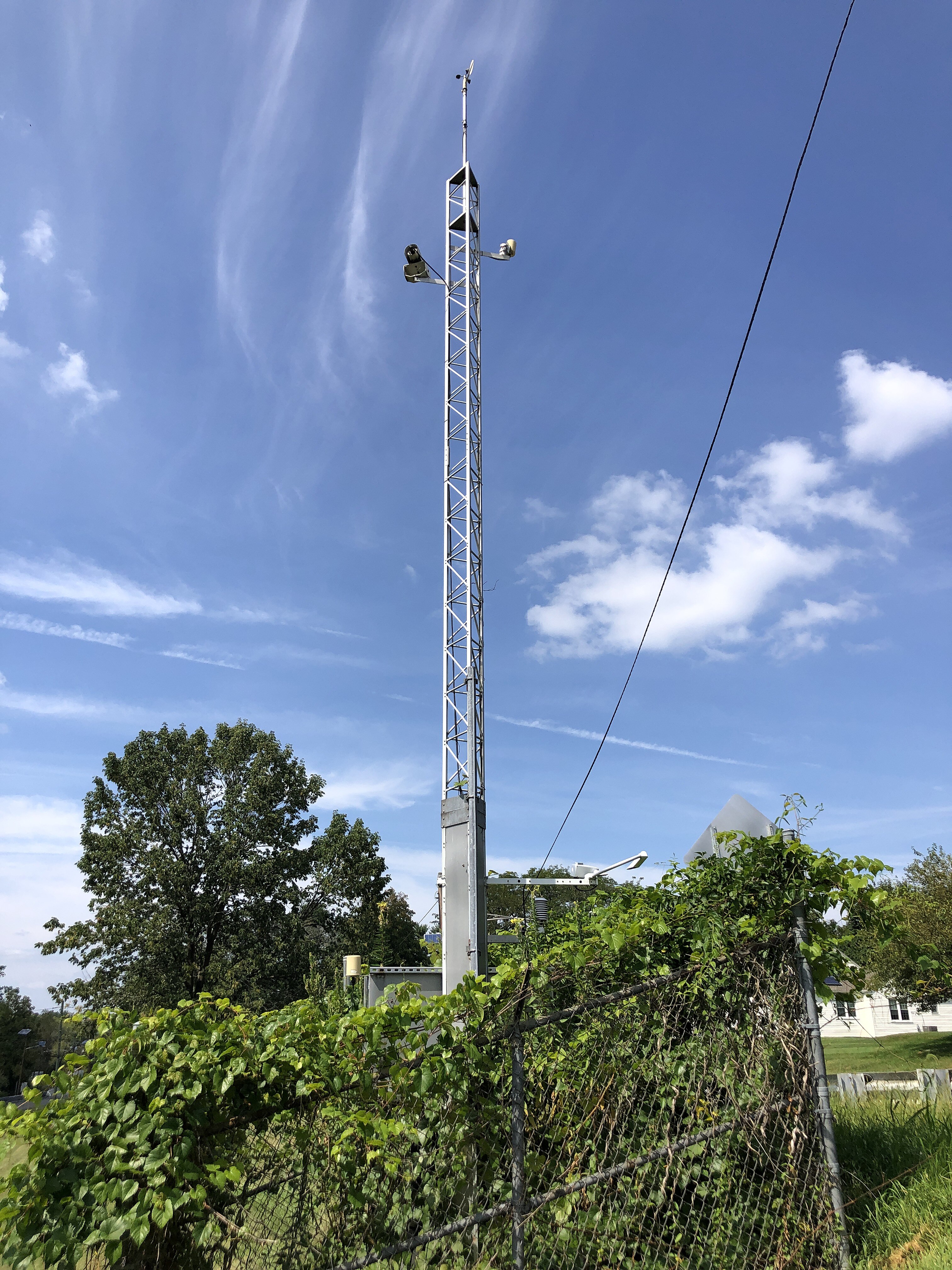
English: Road Weather Information System (RWIS) weather station at the junction of New Jersey State Route 29 (Daniel Bray Highway) and New Jersey State Route 175 (Upper River Road) in Ewing Township, Mercer County, New Jersey |
| Date | |
| Source | Own work |
| Author | Famartin |
| Camera location | | View this and other nearby images on: OpenStreetMap |
|---|
_weather_station_at_the_junction_of_New_Jersey_State_Route_29_(Daniel_Bray_Highway)_and_New_Jersey_State_Route_175_(Upper_River_Road)_in_Ewing_Township,_Mercer_County,_New_Jersey.jpg¶ms=040.264767_N_-074.846986_E_globe:Earth_type:camera_heading:342.52&language=en)
Licensing
[edit]_weather_station_at_the_junction_of_New_Jersey_State_Route_29_(Daniel_Bray_Highway)_and_New_Jersey_State_Route_175_(Upper_River_Road)_in_Ewing_Township,_Mercer_County,_New_Jersey.jpg&action=edit§ion=2)
I, the copyright holder of this work, hereby publish it under the following license:
This file is licensed under the Creative Commons Attribution-Share Alike 4.0 International license.
- You are free:
- to share – to copy, distribute and transmit the work
- to remix – to adapt the work
- Under the following conditions:
- attribution – You must give appropriate credit, provide a link to the license, and indicate if changes were made. You may do so in any reasonable manner, but not in any way that suggests the licensor endorses you or your use.
- share alike – If you remix, transform, or build upon the material, you must distribute your contributions under the same or compatible license as the original.
File history
Click on a date/time to view the file as it appeared at that time.
| Date/Time | Thumbnail | Dimensions | User | Comment | |
|---|---|---|---|---|---|
| current | 18:45, 5 September 2023 | | 3,024 × 4,032 (3.05 MB) | Famartin (talk | contribs) | Uploaded own work with UploadWizard |
You cannot overwrite this file.
File usage on Commons
The following page uses this file:
- File:2023-09-05 14 20 57 will rename and categorize soon 44.jpg (file redirect)
_weather_station_at_the_junction_of_New_Jersey_State_Route_29_(Daniel_Bray_Highway)_and_New_Jersey_State_Route_175_(Upper_River_Road)_in_Ewing_Township,_Mercer_County,_New_Jersey.jpg&oldid=806721438)