File:2022 Modrzew europejski w Górach Bystrzyckich, w Sudetach 2.jpg
Original file (4,000 × 4,292 pixels, file size: 10.14 MB, MIME type: image/jpeg)
Captions
Summary[edit]
Description2022 Modrzew europejski w Górach Bystrzyckich, w Sudetach 2.jpg |
Polski: Modrzew europejski w Górach Bystrzyckich, w Sudetach
English: 
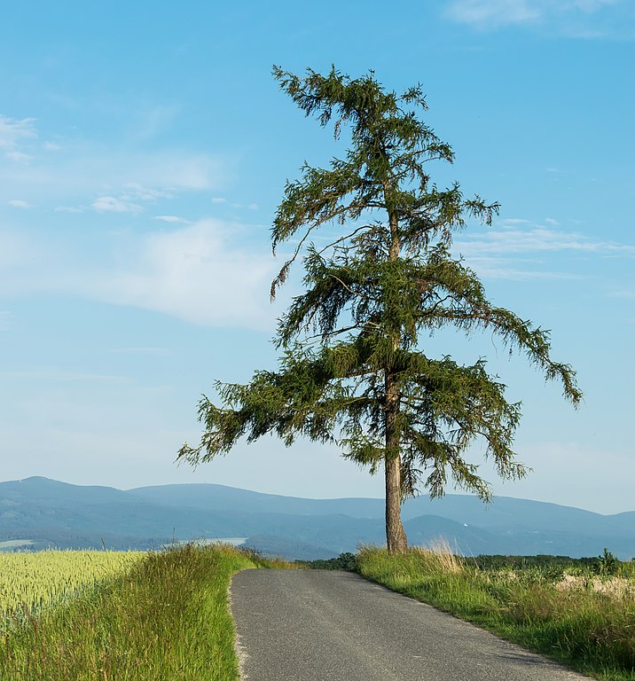
European larch in Góry Bystrzyckie, in Sudetes |
Date | |
Source | Own work |
Author | Jacek Halicki |
Camera location | 50° 21′ 38.44″ N, 16° 35′ 42.44″ E | View this and other nearby images on: OpenStreetMap | 50.360678; 16.595122 |
---|
|
Licensing[edit]
- You are free:
- to share – to copy, distribute and transmit the work
- to remix – to adapt the work
- Under the following conditions:
- attribution – You must give appropriate credit, provide a link to the license, and indicate if changes were made. You may do so in any reasonable manner, but not in any way that suggests the licensor endorses you or your use.
- share alike – If you remix, transform, or build upon the material, you must distribute your contributions under the same or compatible license as the original.
File history
Click on a date/time to view the file as it appeared at that time.
Date/Time | Thumbnail | Dimensions | User | Comment | |
---|---|---|---|---|---|
current | 22:48, 20 June 2022 | 4,000 × 4,292 (10.14 MB) | Jacek Halicki (talk | contribs) | Uploaded own work with UploadWizard |
You cannot overwrite this file.
File usage on Commons
The following 4 pages use this file:
File usage on other wikis
The following other wikis use this file:
- Usage on pl.wikipedia.org
- Wysoczyzna Łomnicy
- Wikipedia:Ilustracje na Medal/biologia
- Wikipedysta:Hedger z Castleton/brudnopis
- Wikipedia:Propozycje do Ilustracji na Medal/2022 Modrzew europejski w Górach Bystrzyckich, w Sudetach 2.jpg
- Dyskusja pliku:2022 Modrzew europejski w Górach Bystrzyckich, w Sudetach 2.jpg
- Szablon:Ilustracja na medal/2022-08-05
Metadata
This file contains additional information such as Exif metadata which may have been added by the digital camera, scanner, or software program used to create or digitize it. If the file has been modified from its original state, some details such as the timestamp may not fully reflect those of the original file. The timestamp is only as accurate as the clock in the camera, and it may be completely wrong.
Camera manufacturer | NIKON CORPORATION |
---|---|
Camera model | NIKON D5300 |
Author | Jacek Halicki |
Exposure time | 1/400 sec (0.0025) |
F-number | f/10 |
ISO speed rating | 200 |
Date and time of data generation | 19:44, 19 June 2022 |
Lens focal length | 50 mm |
User comments | Autor: Jacek Halicki |
Latitude | 50° 21′ 39.77″ N |
Longitude | 16° 35′ 44.35″ E |
Altitude | 493 meters above sea level |
Width | 4,000 px |
Height | 4,752 px |
Bits per component |
|
Pixel composition | RGB |
Orientation | Normal |
Number of components | 3 |
Horizontal resolution | 300 dpi |
Vertical resolution | 300 dpi |
Software used | Adobe Photoshop CS6 (Windows) |
File change date and time | 16:16, 20 June 2022 |
Exposure Program | Normal program |
Exif version | 2.21 |
Date and time of digitizing | 19:44, 19 June 2022 |
APEX shutter speed | 8.643856 |
APEX aperture | 6.643856 |
APEX exposure bias | 0 |
Maximum land aperture | 4.6 APEX (f/4.92) |
Metering mode | Pattern |
Light source | Unknown |
Flash | Flash did not fire |
DateTime subseconds | 40 |
DateTimeOriginal subseconds | 40 |
DateTimeDigitized subseconds | 40 |
Color space | sRGB |
Focal plane X resolution | 2,558.641204834 |
Focal plane Y resolution | 2,558.641204834 |
Focal plane resolution unit | 3 |
Sensing method | One-chip color area sensor |
File source | Digital still camera |
Scene type | A directly photographed image |
Custom image processing | Normal process |
Exposure mode | Auto exposure |
White balance | Auto white balance |
Digital zoom ratio | 1 |
Focal length in 35 mm film | 75 mm |
Scene capture type | Standard |
Scene control | None |
Contrast | Normal |
Saturation | Normal |
Sharpness | Normal |
Subject distance range | Unknown |
GPS time (atomic clock) | 17:44:59.33 |
Satellites used for measurement | 05 |
Geodetic survey data used | WGS-84 |
GPS date | 19 June 2022 |
GPS tag version | 0.0.3.2 |
Serial number of camera | 4916844 |
Lens used | 18.0-105.0 mm f/3.5-5.6 |
Rating (out of 5) | 0 |
Date metadata was last modified | 18:16, 20 June 2022 |
Unique ID of original document | 59CECB7922B9F273225E9686C9EE6A21 |
IIM version | 65,468 |
Structured data
Items portrayed in this file
depicts
some value
19 June 2022
50°21'38.441"N, 16°35'42.439"E
0.0025 second
10
50 millimetre
200
image/jpeg
9ee4852e46c475e84cdde7b0b21dc43a69eabb40
10,631,144 byte
4,292 pixel
4,000 pixel
- Files with coordinates missing SDC location of creation
- Quality images
- Featured pictures on Wikipedia, Polish
- CC-BY-SA-4.0
- Self-published work
- Images by Jacek Halicki
- Quality Images by Jacek Halicki
- Poland photographs taken on 2022-06-19
- Featured picture on the Polish Wikipedia by Jacek Halicki
- Pages with maps